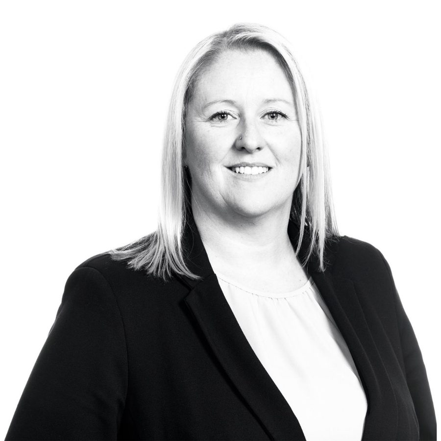
An experienced geographic information system (GIS) consultant, Mel believes that GIS mapping is about telling a story—people are visual and find information easier to digest when it comes in graphic form. She helps different sectors tell their stories visually, representing data and information through various forms of mapping. Using Esri software, she specialises in ArcGIS Pro, FieldMaps, and Survey123, which allow her to create online maps and mobile apps. Mobile apps make life easier for colleagues out in the field, providing faster, more accessible, streamlined data capture tools.
Mel’s work has real, tangible benefits for the community, such as her work on bushfire assessment mapping for the New South Wales Department of Education. Mel and her team assisted with mapping vegetation at schools located in high bushfire prone areas, submitting recommendations on which vegetation areas needed strict regulations. Because of these recommendations, two schools in the direct path of a bushfire were saved in 2020.
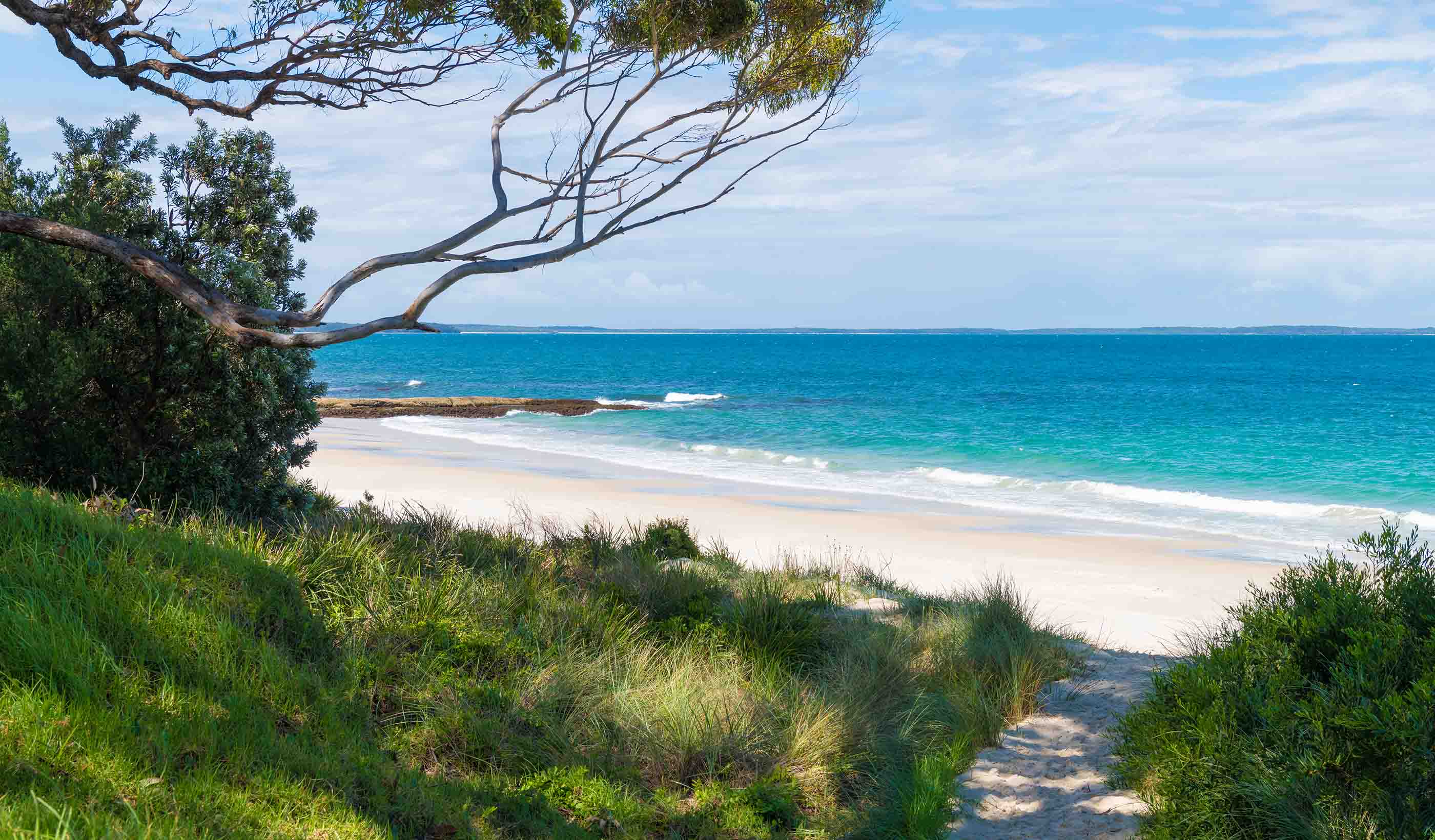
Outside of work, Mel and her two young daughters love spending time bushwalking or at the beach.

