How satellite image fusion and machine-learning can help us monitor large water bodies
April 21, 2021
April 21, 2021
With advances in remote sensing techniques, we can now monitor and identify large-scale regions and water bodies effectively and efficiently
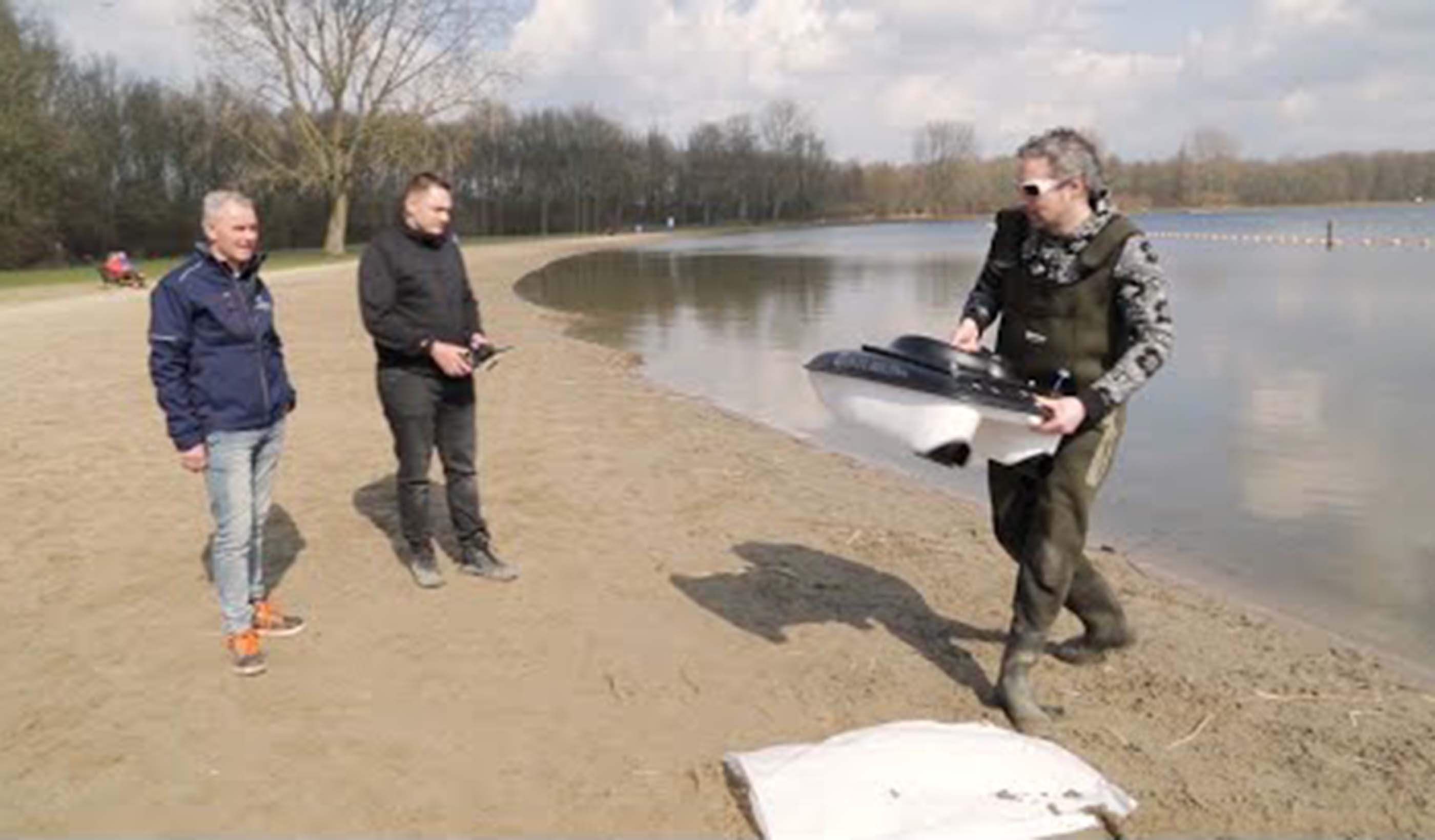
Typical field sampling of water bodies is often labor-intensive and expensive. Measuring physical, chemical, and biological factors this way provides snapshots that reflect only local water quality conditions. This makes it difficult to identify variations of water quality in a larger water body. With advances in remote sensing methods, now we can monitor and identify large-scale regions and water bodies more effectively and efficiently.
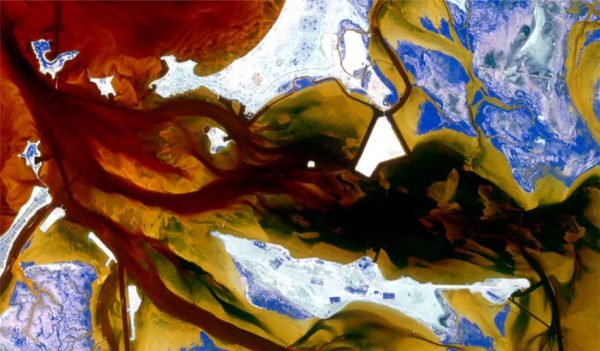
Remote sensing—in this instance, using satellite images to monitor a water body—helps reduce costs by targeting the collection and processing of thousands of samples. Remote sensing also provides a historical record of water quality in an area, showing trends.
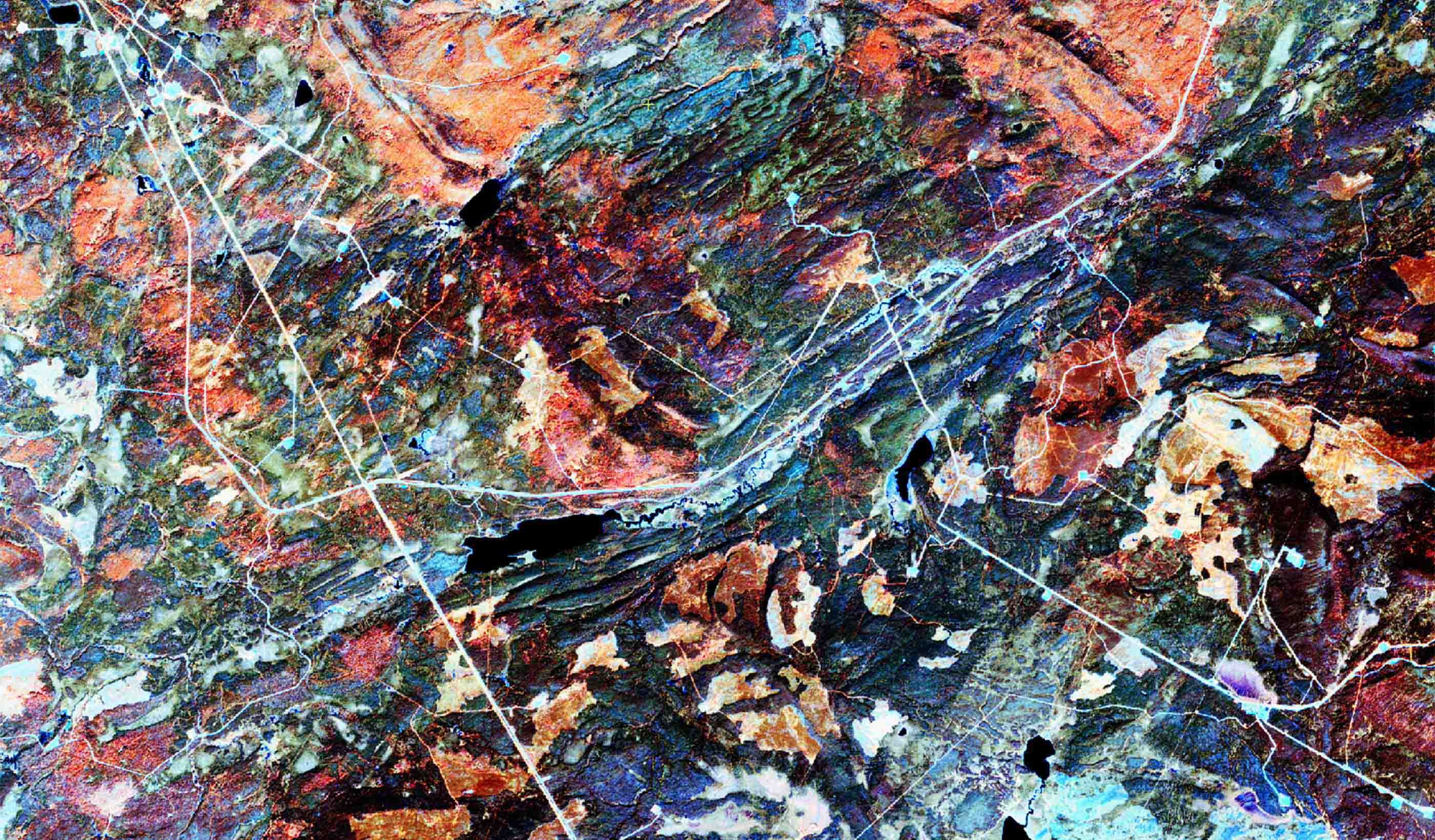
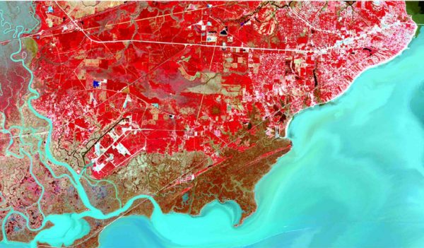
Sensors mounted on satellites and aircrafts can measure the amount of reflectance at various wavelengths from the water’s surface. That data can help detect different water quality factors. Free low- and medium-resolution satellite data has many advantages. But free data comes at the expense of image quality, which typically only shows general features (such as bridges and waterways). However, commercial satellites can capture images at a set place and time. These satellites guarantee data, which otherwise could be missing or delayed. But data from commercial satellites is more costly and is typically more suitable for small-scale monitoring or analysis.
Our remote sensing team has a cost-effective solution. We apply image fusion techniques to create images with both high spatial and temporal resolution. That means we can use image archives to develop a near real-time water quality monitoring system to solve problems for our clients.
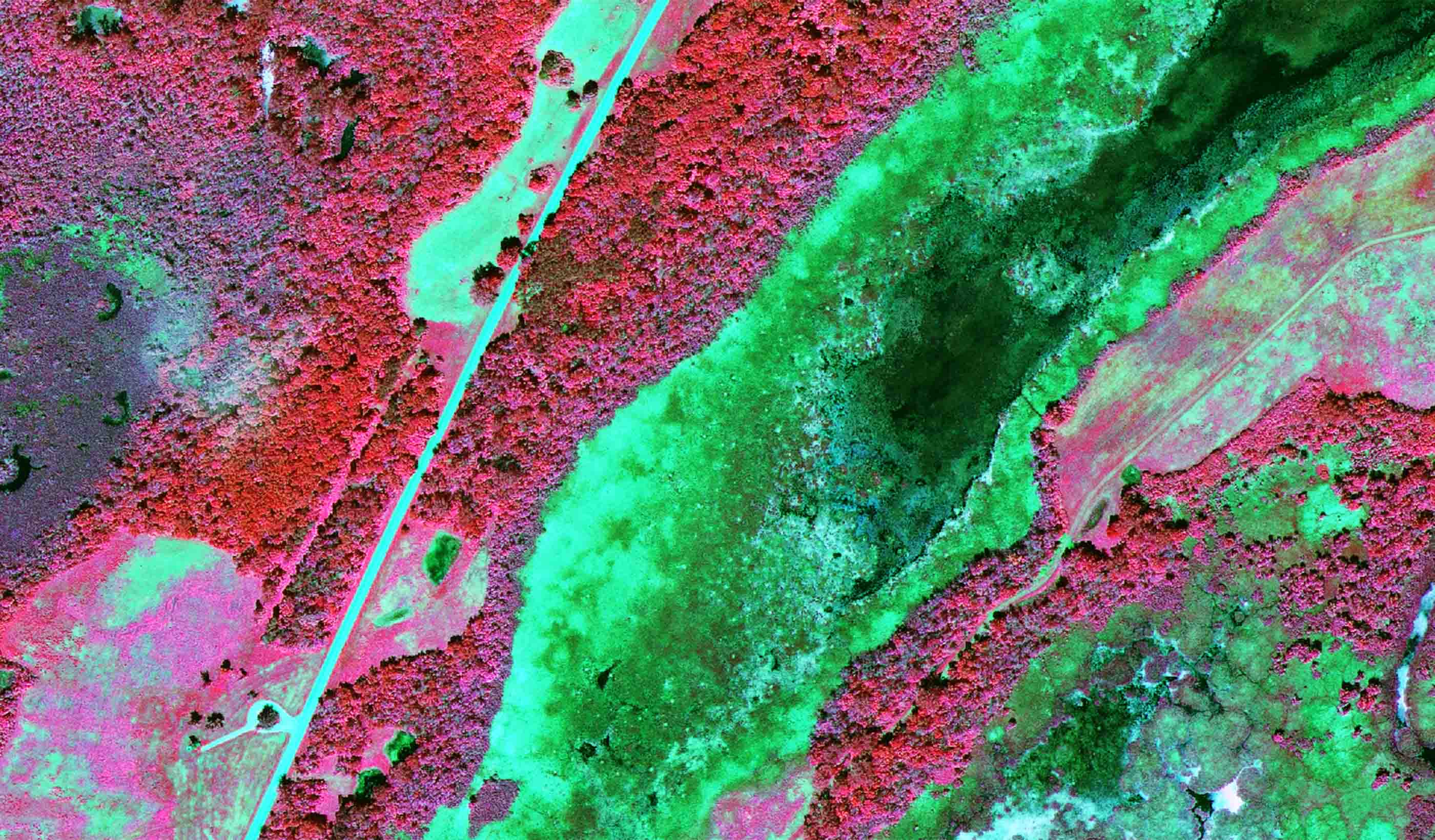
Different sensors mounted in satellites and other platforms (e.g., airplanes) can measure the amount of reflectance at various wavelengths from the water’s surface.
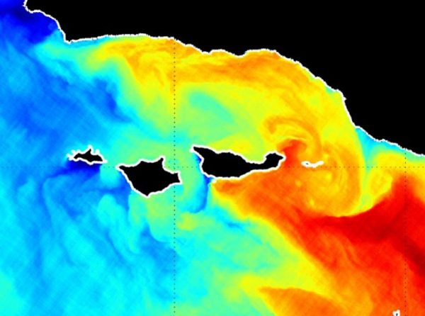
Image fusion methods create high-resolution images for more detailed monitoring. They also improve the resolution of historical satellite images. We can combine features from different images for more information than from a single image. Then we produce a synthetic image with both high space and time resolution.
We use synthetic images to monitor a variety of water quality concerns. Examples include chlorophyll-a, algae bloom, turbidity, temperature, suspended sediments, and nutrients. To properly measure water quality, it takes continuous observation—and ideally with a high resolution. By fusing images, we can see daily changes in the above examples. Image fusion also fills in gaps of missing satellite data caused by clouds or shadows. This is helpful in areas where there are only a few cloud-free images.
We can use reflections from the water surface to detect different water quality parameters.
One challenge in water quality monitoring by remote sensing is picking a suitable method to find the relationship between the satellite data and collected water quality samples. Different methods have benefits and limitations for scale and model complexity.
The most common method is fitting a standard linear regression between remote sensing data and collected water quality samples. That comes with the limitation that it typically cannot be generalized across large space and time scales. To bridge this gap, other methods model the water body properties that depend only on the medium in coordination with those that depend on the ambient light field. These methods require large amounts of collected water quality samples. Thus, they are still a challenge.
Image fusion methods create high-resolution images for more detailed monitoring. They also improve the resolution of historical satellite images.
Advances in computer processors—as well as more data—have created opportunities for machine-learning approaches. Given the proper inputs, machine-learning algorithms can produce models that can capture complex and non-linear relationships between remote-sensing data and collected water samples. However, machine-learning approaches are only applicable within the range of data used to train a given model. When selecting the best model for our clients, we consider several factors. Those include complexity of the variety of water quality concerns, types of water bodies, and the availability of collected samples.
Remote sensing—in this instance, the use of satellite imagery to monitor a water body—can help reduce costs.
Advances in space science, more computer applications, and better computing powers make remote sensing more useful to monitor water quality. While satellites can help assess water quality condition, they are limited by image resolution.
Our remote sensing team applies image fusion techniques to generate images with both high space and time resolution. The combination of image fusion techniques with the right method to estimate water quality condition will improve our ability to monitor water quality condition, identify contamination zones and sources, and develop remedies. I am excited to see how we can use the technology to improve monitoring.