Stantec @ 2023 Pacific Rim Geospatial Conference
Forward-thinking Ideas
-
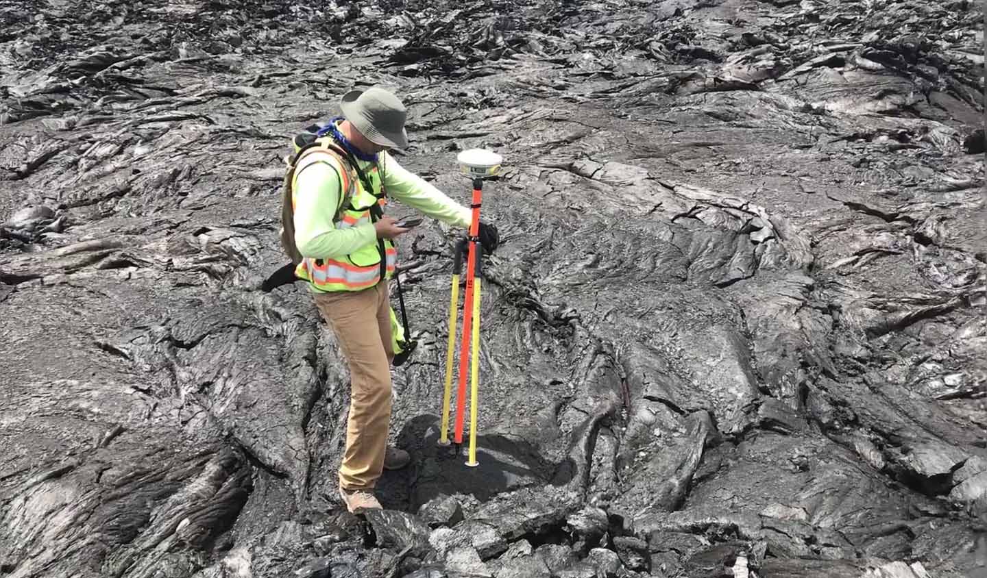
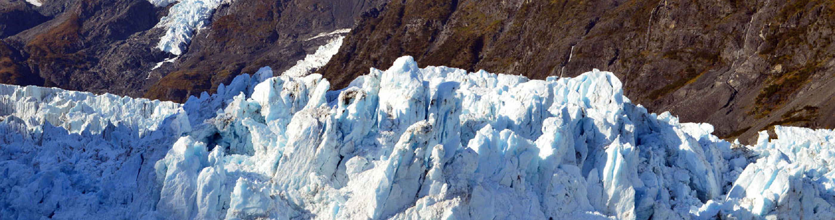
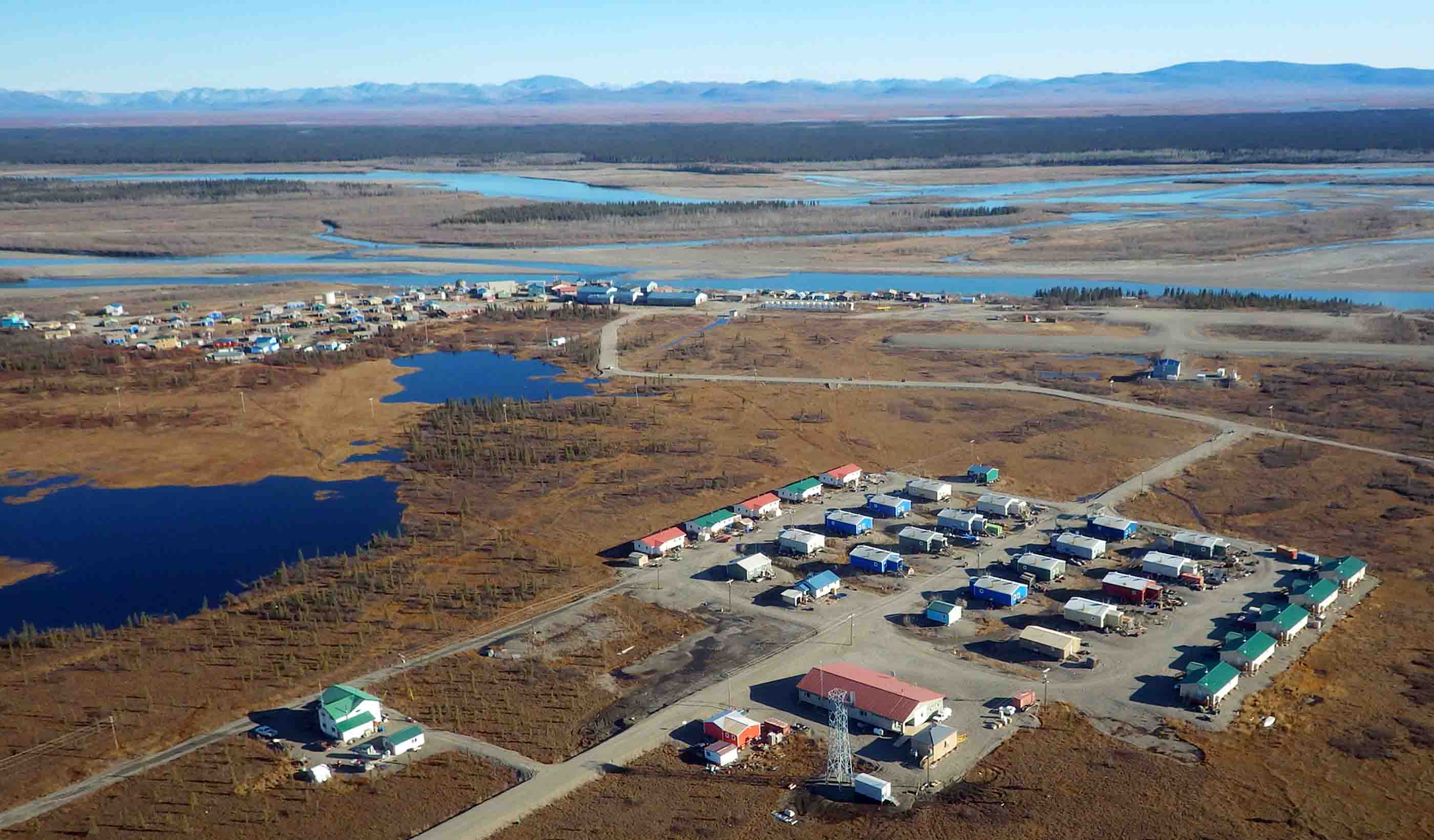
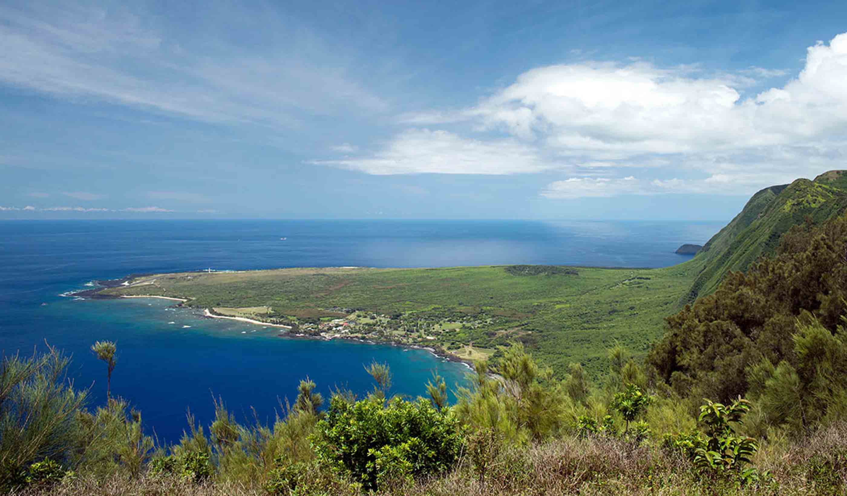
Project Profile Lava Mapping, Highways 132, 137 and Leilani Estates Roadways
-
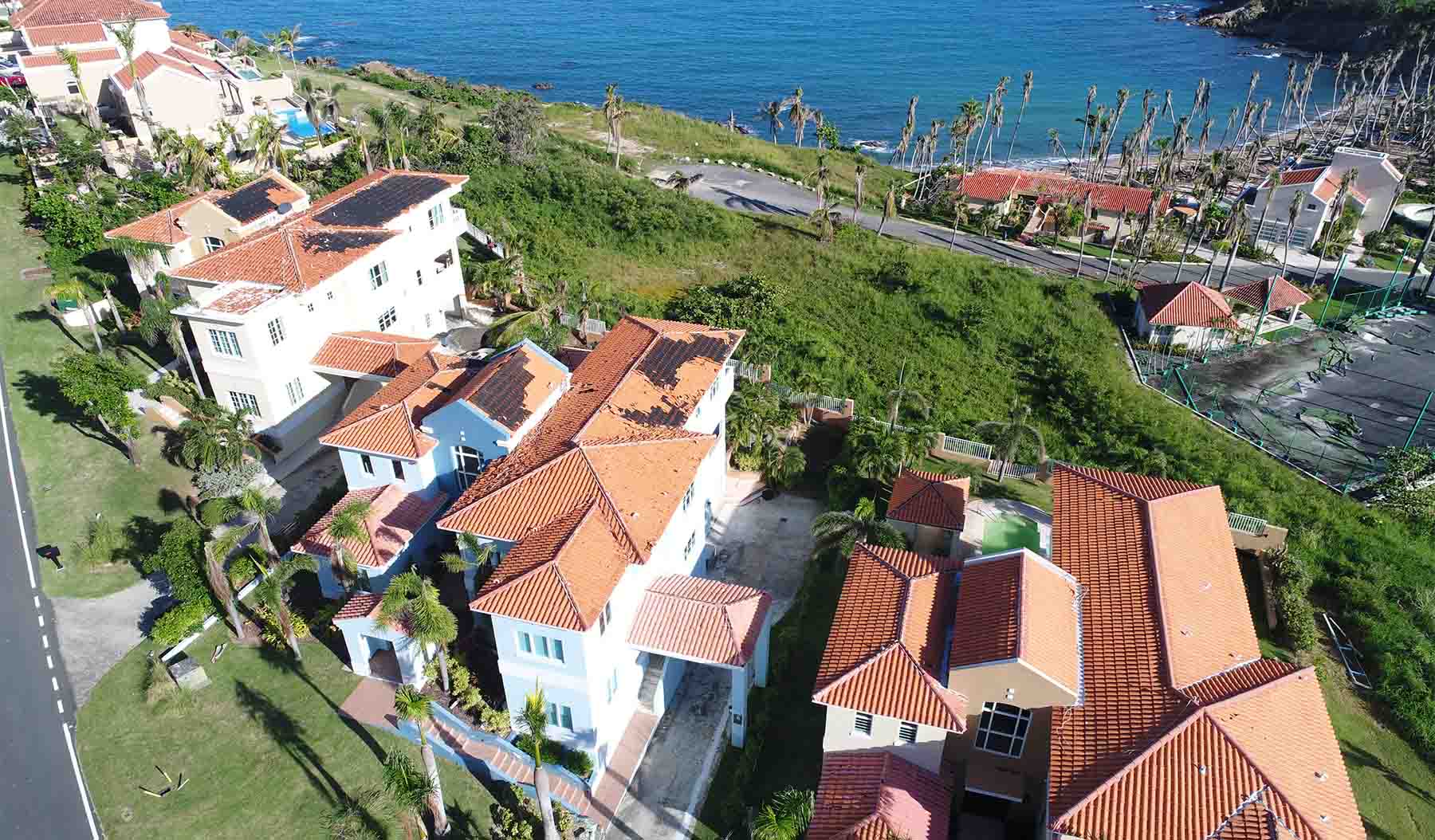
Blog Post Can drone technology help us mitigate the impact of future natural disasters? Absolutely
-

Blog Post Harnessing the power of mobile GIS apps to simplify field work and save time, money
-
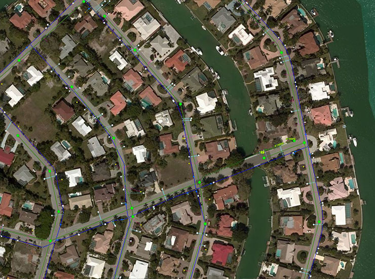
Blog Post Putting geographic information systems data online to make city life easier

Meet Our Team
Victor Rasgado, Associate, Senior Surveyor
Drones are a game changer; by capturing huge quantities of geospatial data, we’re helping communities grow and stay safe.
Ben Berridge, Senior Associate, Environmental Services
I’m grateful to work alongside such an exceptional team dedicated to improving our environment and community.