Session 2 - Transforming Earth Science Services
August 03, 2022
August 03, 2022
September 27 | 10:10 am to 11:40 am
Many of us are concerned with rising labor costs and an increasing demand to monitor natural systems as climate change accelerates. In this session, we will discuss how advanced satellite and remote sensing methods can help to address these issues.
Presentations:
When disaster strikes, communities must be able to identify, respond, and adapt quickly. Remote sensing data can provide the climate impact information needed to make decisions. Stantec’s GlobeWATCH products use advanced remote sensing methods to help identify issues like wildfires, flash flooding, pipeline leaks, erosion, and water scarcity in early stages so you can mitigate damage and recover faster.
Cutting human-caused methane emissions by 45% in the next eight years could prevent a 0.3°C rise in global warming by the 2040s. BlueSky Resources, with support of partners Stantec, Google, Noaa, Maxar, are using big data at all spatial scales to deliver clients desktop access to never-before-seen climate change estimates, allowing you to take corrective action and reduce fugitive methane emissions.
Time: 10:25 am - 10:40 am MT
Presenter: Jon Saints
Reduce manual field work. Save time and expenditures. Mitigate risks during environmental work. All while helping save the monarch butterfly, a species that has declined by over 80% in the past two decades and may soon be federally protected. Creating a win-win solution that prioritizes conservation action, Stantec developed a remote sensing solution to identify where your sites and projects may impact suitable habitat.
Time: 10:40 am - 10:55 am MT
Presenter: Erica Christiansen
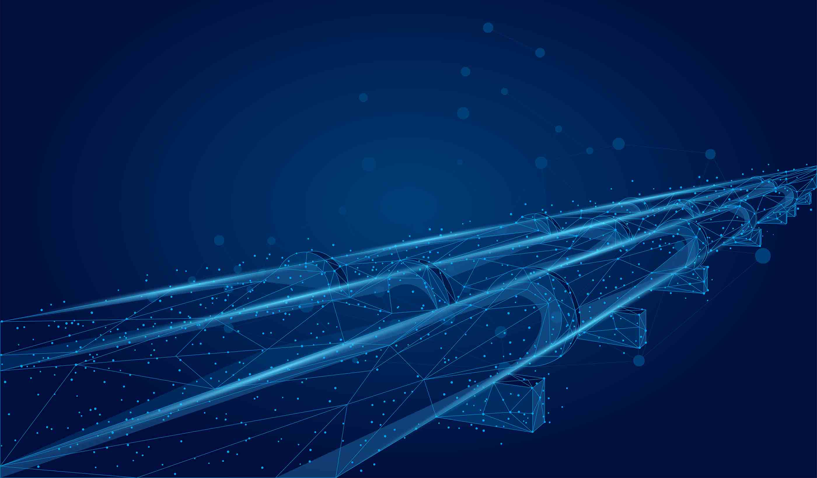
How do you monitor hundreds or thousands of miles of pipelines? Using today’s standard tools can cause delays in identifying and fixing spills and, when one small leak can mean disaster for your customers and the environment, that’s a problem. Be the first to know about potential issues with PipeWATCH, Stantec’s pipeline right-of-way management tool that uses highly sensitive satellite imagery to monitor safe transfer of your product.
Time: 10:55 am - 11:10 am MT
Traditionally, we monitor infrastructure using ground-based surveying, inspection, and instrumentation—all expensive and risky to the health and safety of operators. Stantec developed Groundwatch as an efficient monitoring method for dams, tailings facilities, roads, railways, and pipelines. Groundwatch couples InSAR measurements with expert engineering and scientific experience to provide actionable recommendations to clients.
Time: 11:10 am - 11:25 am MT
Presenter: Cyrus Garner
Universal access to safe drinking water, adequate sanitation, and hygiene could save millions of lives. You have the power to make an impact today with Stantec’s WaterWatch. Using the latest advances in space science, computer applications, and computing power, our comprehensive water monitoring service provides early warnings and identifications of water contamination sources and zones of impact so you can act quickly.
Time: 11:25 am - 11:40 am MT
Presenter: Sanaz Imen