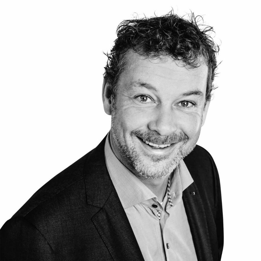
Bringing a degree in geology and more than 23 years’ experience in remediation and soil research to his leadership role, Arthur currently leads a team of account managers working for utility clients. He uses the know-how gained from his extensive background to maintain relationships with some of the major utility and construction companies in the Netherlands.
Arthur’s experience and connections with utility clients give him extraordinary insights into the needs and wants of the market. He and his team developed our Soil Risk Map—an app that provides detailed information on soil quality and safety measures in the Netherlands before any underground utility work is performed. Laying the foundation for the app over a decade ago, he continues to improve and innovate the app by coupling the map with other fields of interests and data, such as unexploded devices and archeological data.
If you ask him, Arthur will say that he is passionate about being outdoors in every season. Every winter, he hits the slopes, tour skiing in Austria. In summer, you’ll find him on his mountain bike or touring with his race bike.
