Victor loves maps almost as much as he loves living and working in Hawaii. A 30-year professional surveyor, he’s passionate about map perfection. Victor pushes the boundaries of traditional surveying and is a pioneering force in Unmanned Aerial Systems (UAS), or drone, surveying within Stantec.
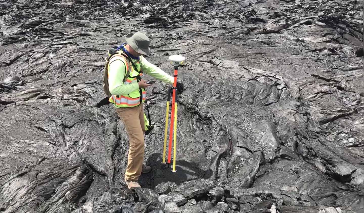
With a background in geomatics and having helped develop a hybrid online GIS curriculum, Victor is a notable geomatics lecturer at the University of Hawaii (UH) and Hawaii Community College. Working with Dr. Ryan Perroy (UH), he’s participated in groundbreaking UAS research relating to tracking lava flows based on reliable, accurate, and dependable (RAD) UAS data in 2014 and the eruption of Kilauea in 2018. Building upon this experience, Victor has become a central player in our rapidly growing geomatics practice, identifying new uses and markets for UAS surveys.
Although he lives a high-flying life, in his heart, Victor is well grounded. He’s a dedicated family man who loves spending his off time with his kids.