At a Glance
-
95-99
Percent Field Correlation
-
4.4K
Network Kilometres Covered
- Location
- Dunedin, New Zealand
- Offices
-
- Location
- Dunedin, New Zealand
- Offices
Share
Aurora Energy Powerline Vegetation Encroachment
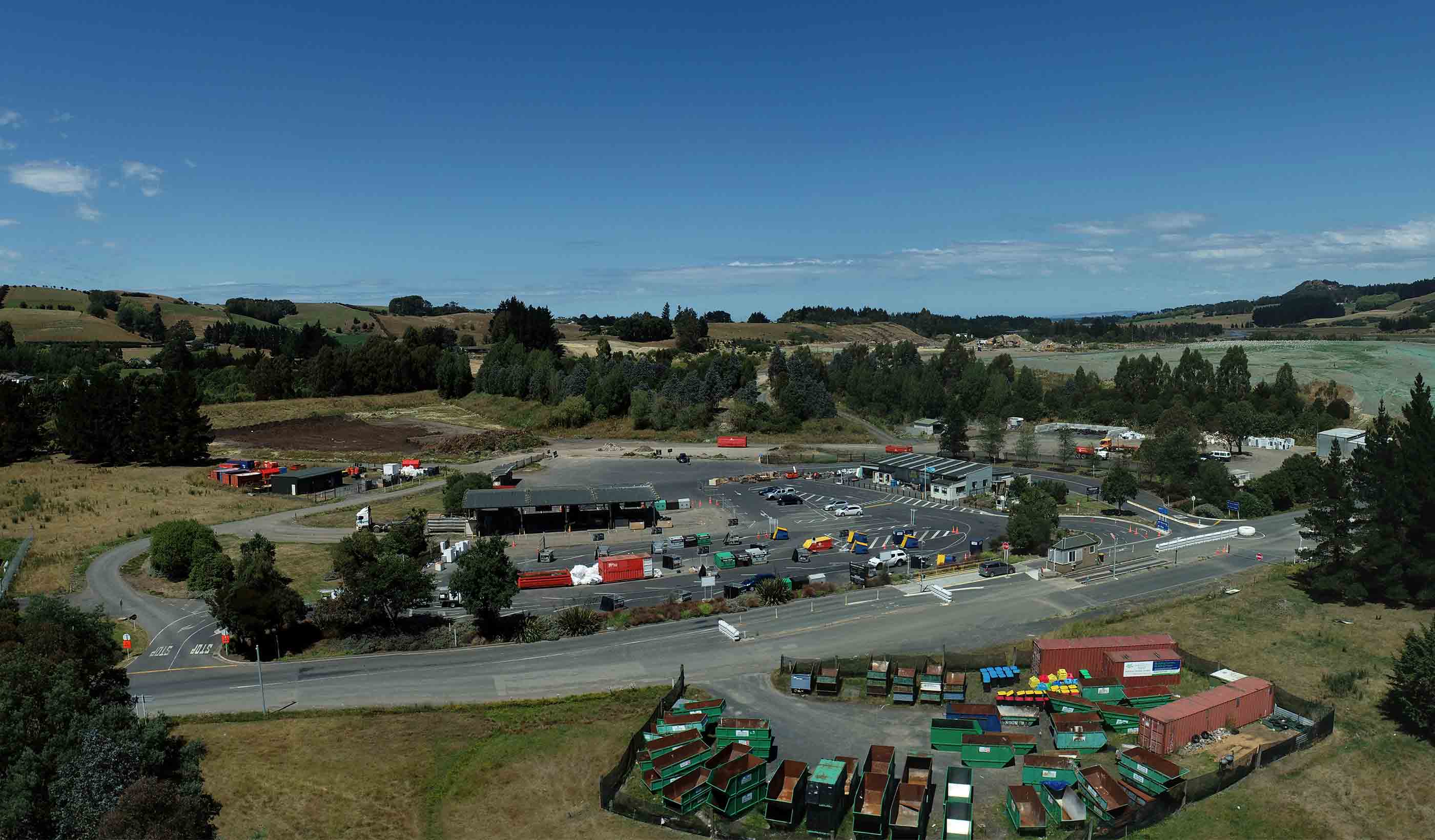
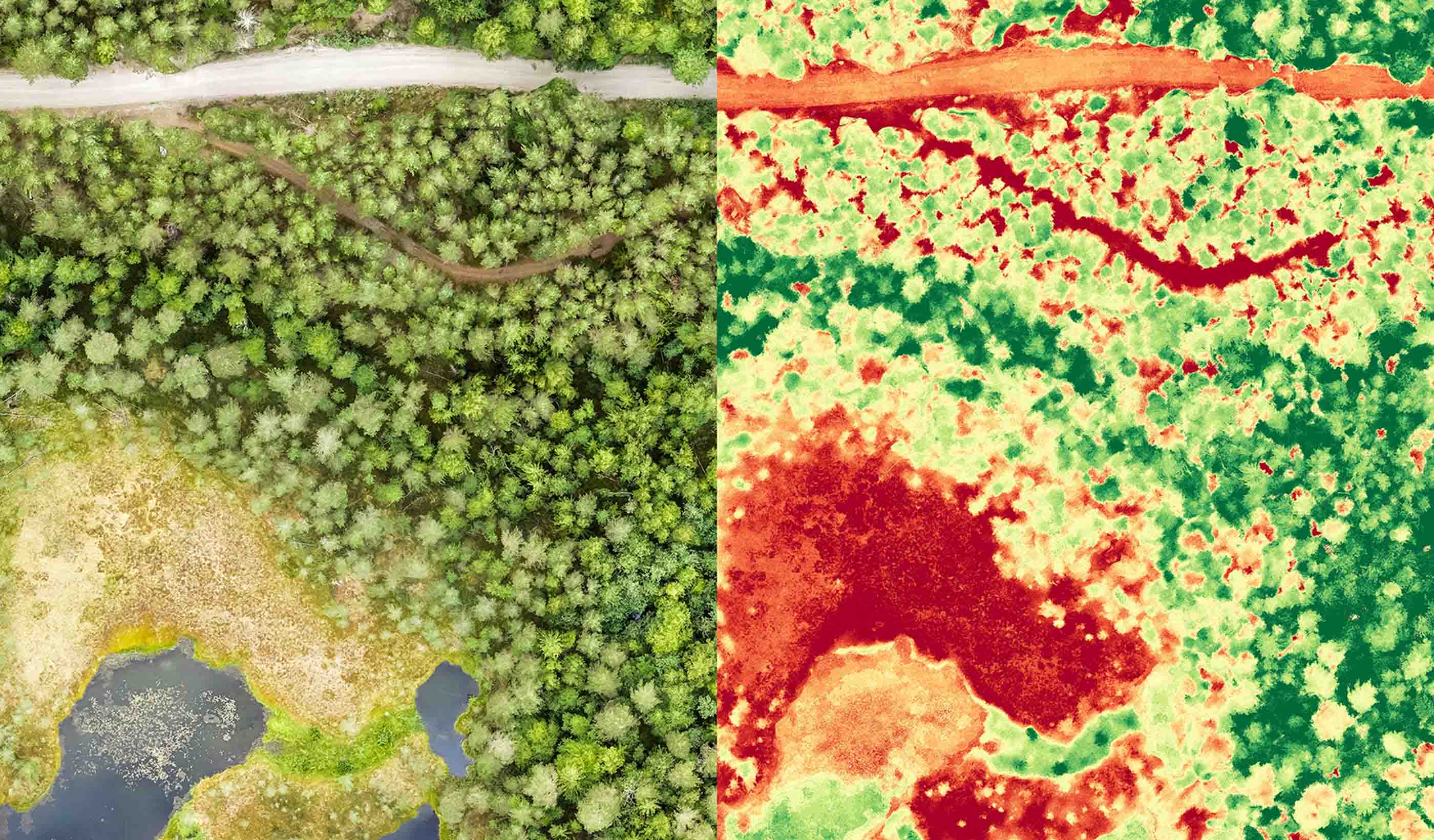
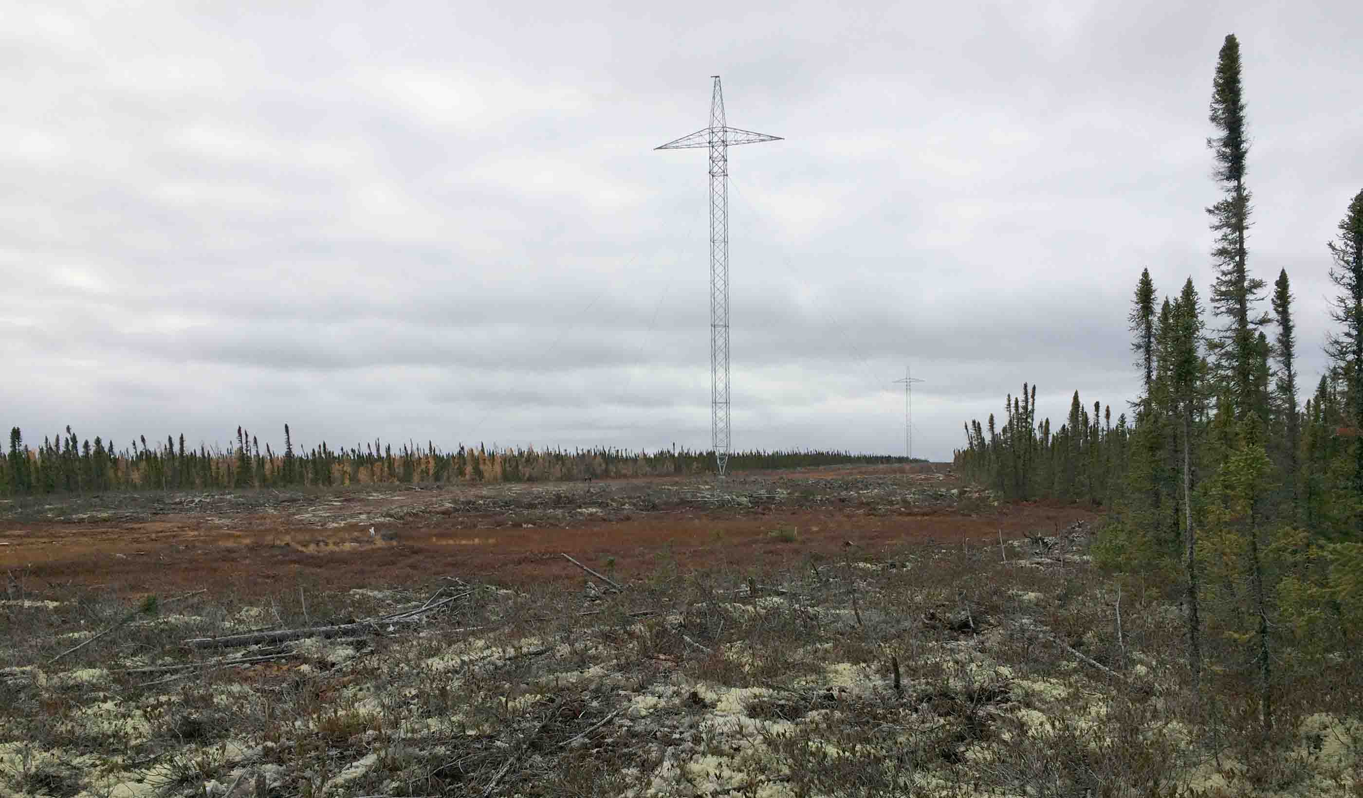
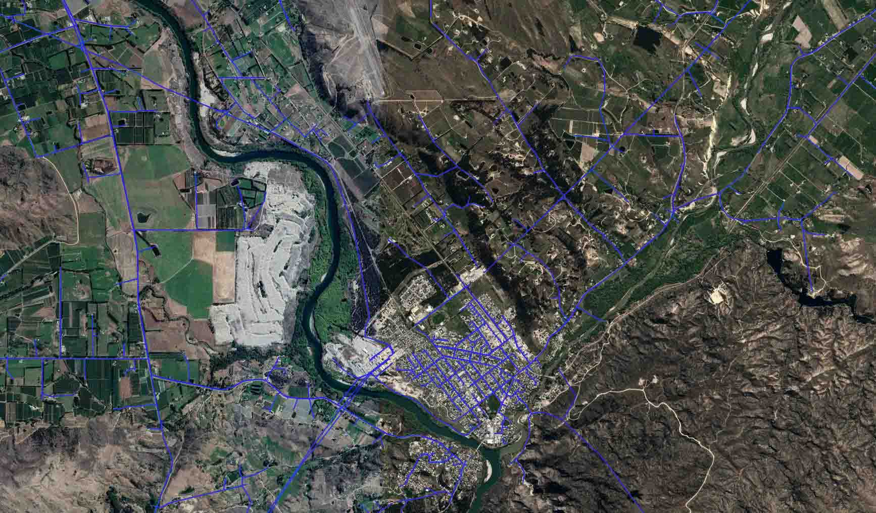
Aurora Energy is the owner and operator of a 4,400-kilometre (2,734 miles) network of distribution powerlines near Dunedin, New Zealand. When they wanted a cost-effective method to identify locations along their right-of-way network where vegetation was encroaching on powerlines, they looked to our team for help.
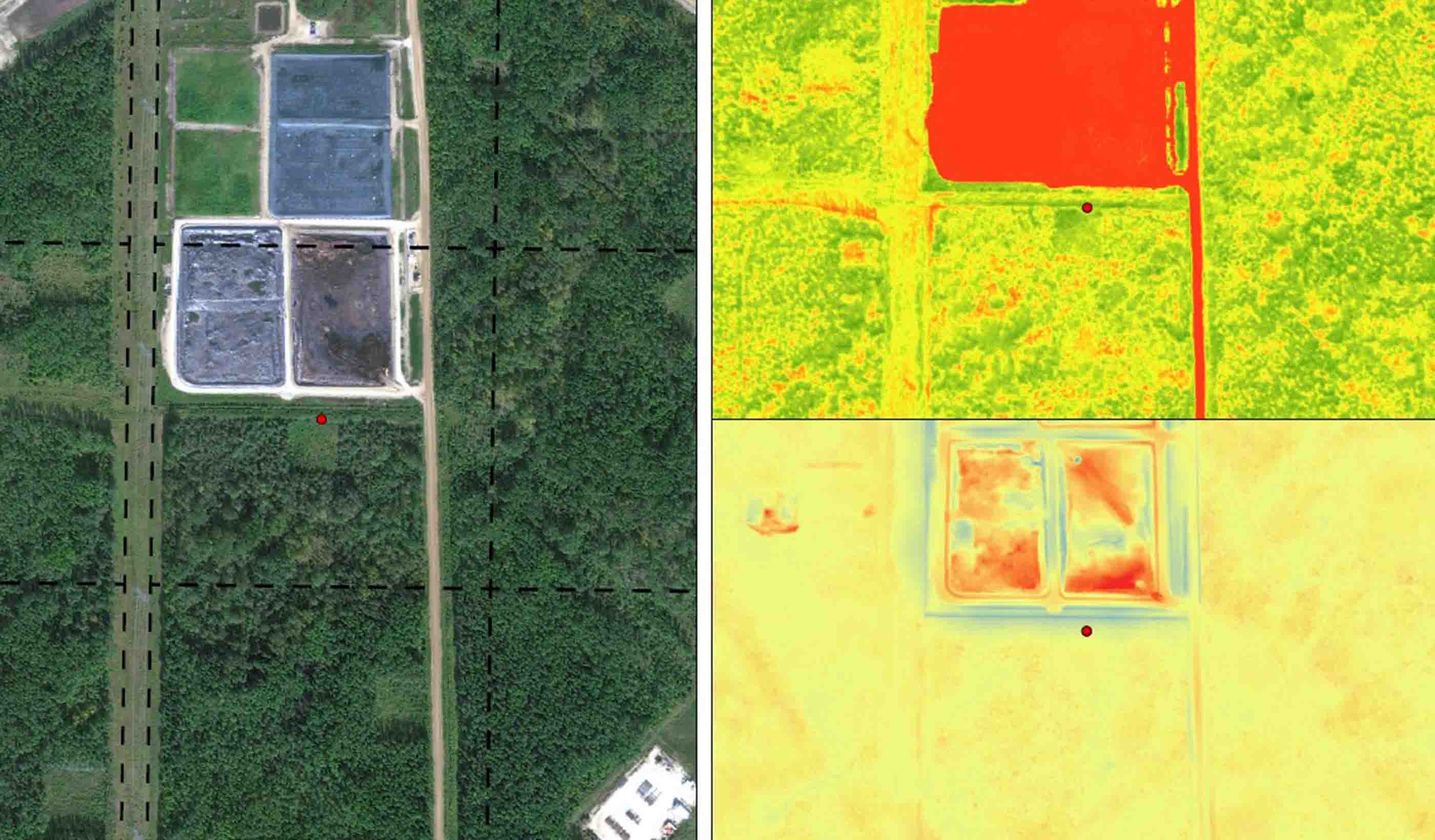
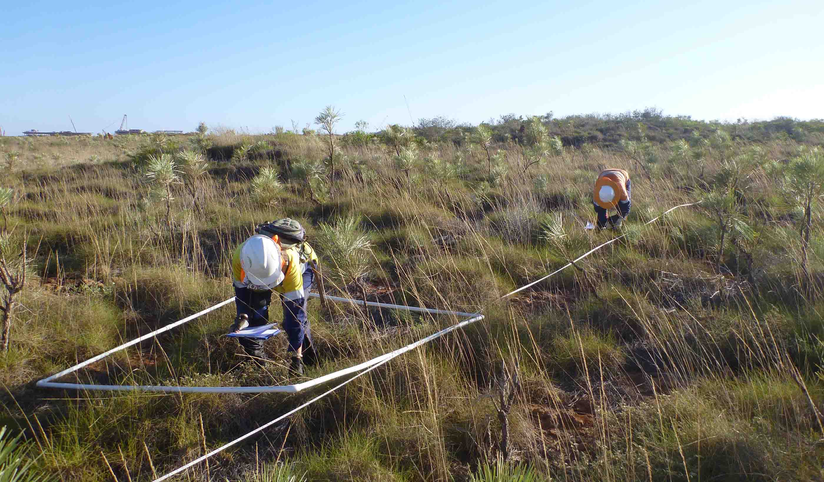
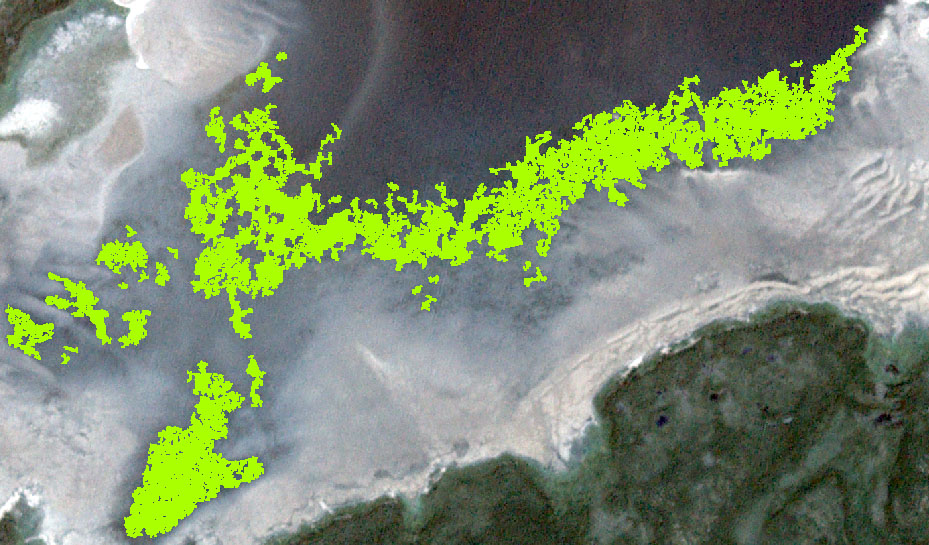
Vegetation interference can cause electrical service disruptions or worse, spark wildfires. In the past, Aurora sent field teams out to only portions of the network to assess encroachment severity. This was costly, open to human bias, and can be dangerous. Our team recommended WireWatch™, a satellite imagery service to measure the amount of vegetation biomass found on individual powerline rights-of-ways for their entire distribution network. Using highly-sensitive vegetation index data, we successfully replicated encroachment surveys conducted by field teams with 95-99% correlation.
The result? We were able to dramatically reduce Aurora’s costs for vegetation encroachment surveys and provided a complete assessment of their entire network. WireWatch™ enabled Aurora Energy to prioritize vegetation removal practices in an efficient and effective manner, further saving time and money while reducing health and safety risks.
At a Glance
-
95-99
Percent Field Correlation
-
4.4K
Network Kilometres Covered
- Location
- Dunedin, New Zealand
- Offices
-
- Location
- Dunedin, New Zealand
- Offices
Share
We’re better together
-
Become a client
Partner with us today to change how tomorrow looks. You’re exactly what’s needed to help us make it happen in your community.
-
Design your career
Work with passionate people who are experts in their field. Our teams love what they do and are driven by how their work makes an impact on the communities they serve.
