- Location
- Rockdale, NSW, Australia
- Offices
-
-
Client
-
-
NSW Department of Planning
-
and Environment
-
- Location
- Rockdale, NSW, Australia
- Offices
- Client
-
- NSW Department of Planning
- and Environment
Share
Murrumbidgee River Hydrographic Survey
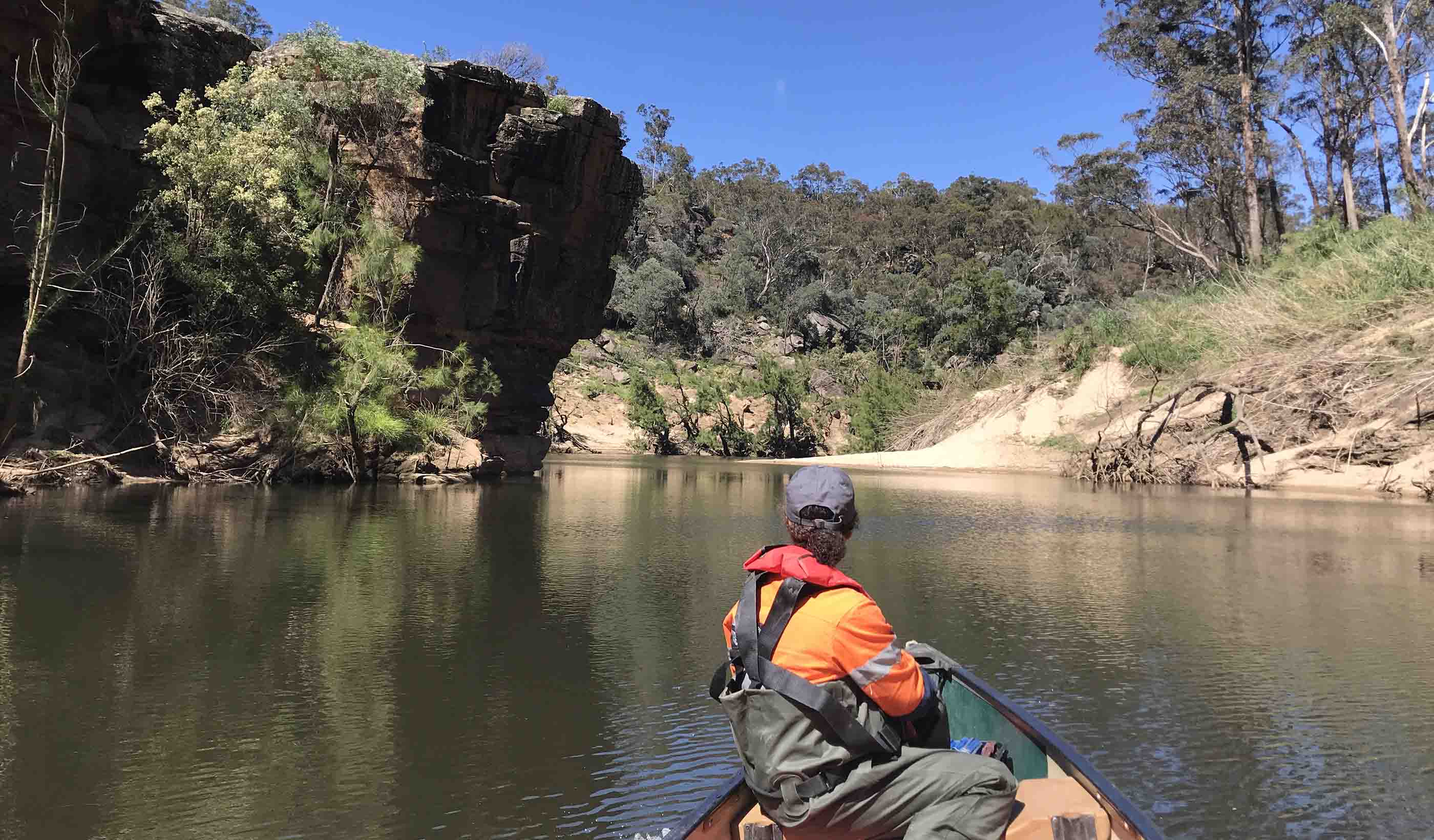
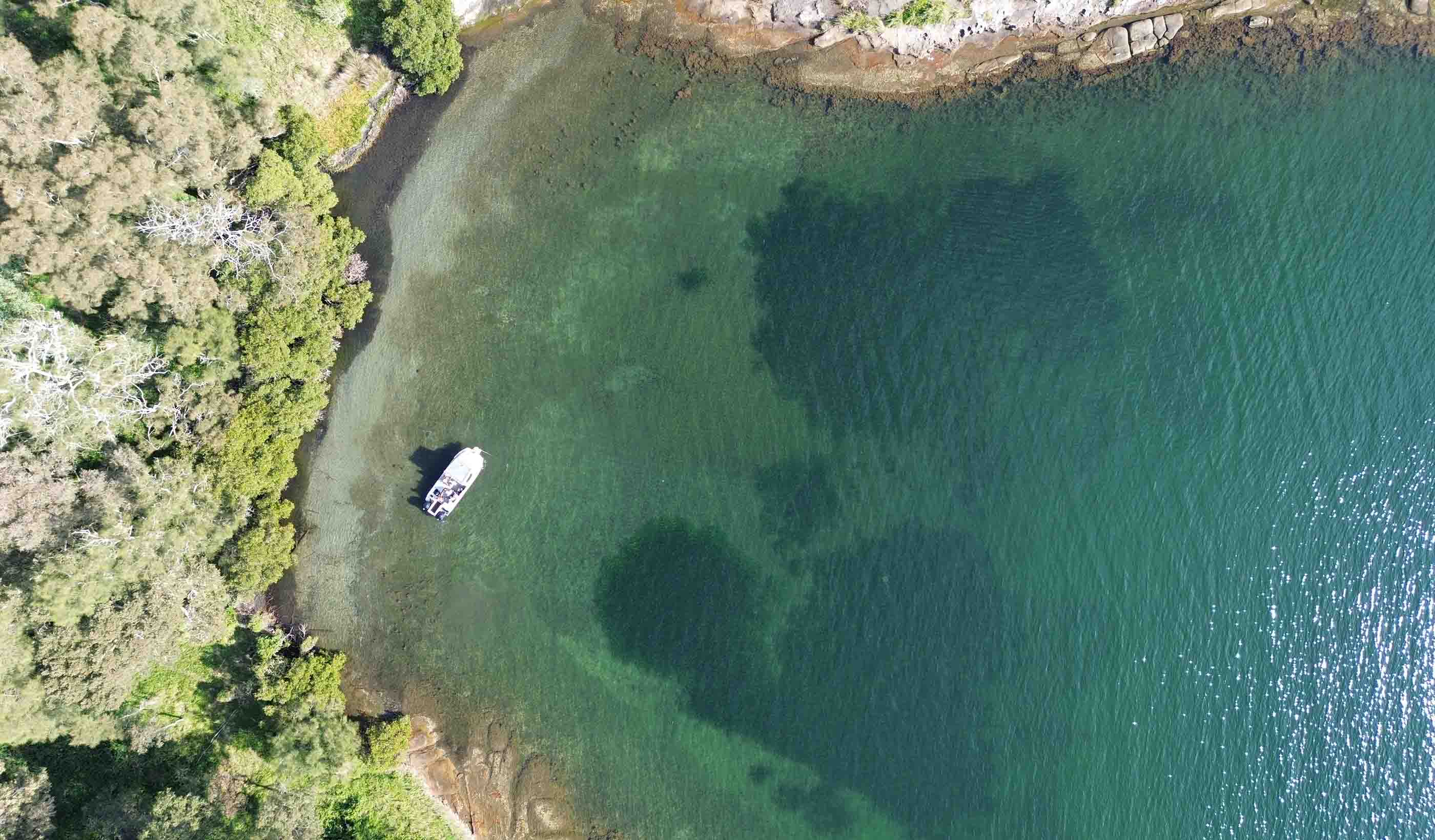
The next time you see a small boat snaking along a river with people busy around some equipment, there’s a chance that they are not fishing or having a lazy day on the river—they could be running a hydrographic survey,
The Murrumbidgee River is a major tributary of the Murray River within the Murray–Darling basin and is the second longest river in Australia. We were engaged by the Murray Darling Basin Authority, to run a hydrographic survey over 300 kilometres of the river, covering sections from the Tumut River to Wagga Wagga and Yanco Weir to Carrathool.
Using SONAR to map the riverbed and LIDAR to map the surrounding area, the survey was run from a boat which was driven in gentle “S” shapes up the river to form overlapping data points. This data was processed to form detailed surveys of the riverbed and the riverbanks. and was fed into a model to provide a better understanding of the impacts of changes in water flow conditions such as floods, and low water.
The survey is critical in the evaluation of water flow impacts across the Murray Darling basin which supports much of the agriculture and natural vegetation through New South Wales, Queensland, Victoria, and South Australia.
- Location
- Rockdale, NSW, Australia
- Offices
-
-
Client
-
-
NSW Department of Planning
-
and Environment
-
- Location
- Rockdale, NSW, Australia
- Offices
- Client
-
- NSW Department of Planning
- and Environment
Share
Adam Warburton, Group Leader, Survey Construction
There is no substitute for effort—all the best projects are the ones where you are totally committed.
Pierre Hartzenberg, Business Leader, Geospatial
Surveying is always the first discipline carried out on site. We form the backbone for all other work that follows.
Amy Steiger, Geospatial Discipline Lead, ANZ
Spatial science and digital technology is expanding at a rapid pace, and I love how we can use this knowledge to improve project outcomes.
We’re better together
-
Become a client
Partner with us today to change how tomorrow looks. You’re exactly what’s needed to help us make it happen in your community.
-
Design your career
Work with passionate people who are experts in their field. Our teams love what they do and are driven by how their work makes an impact on the communities they serve.
