Remote Sensing
Monitoring environmental progress is easier than ever
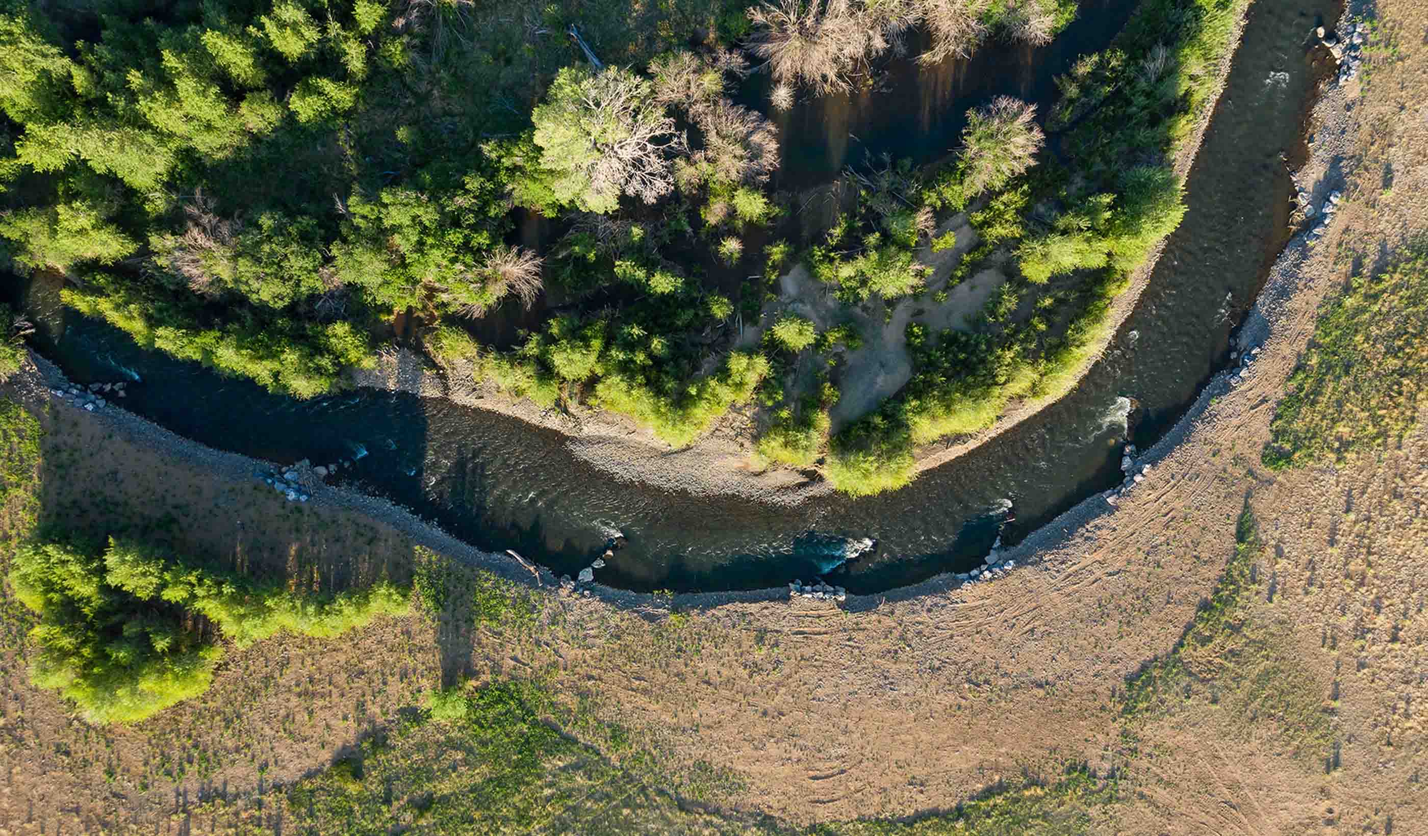
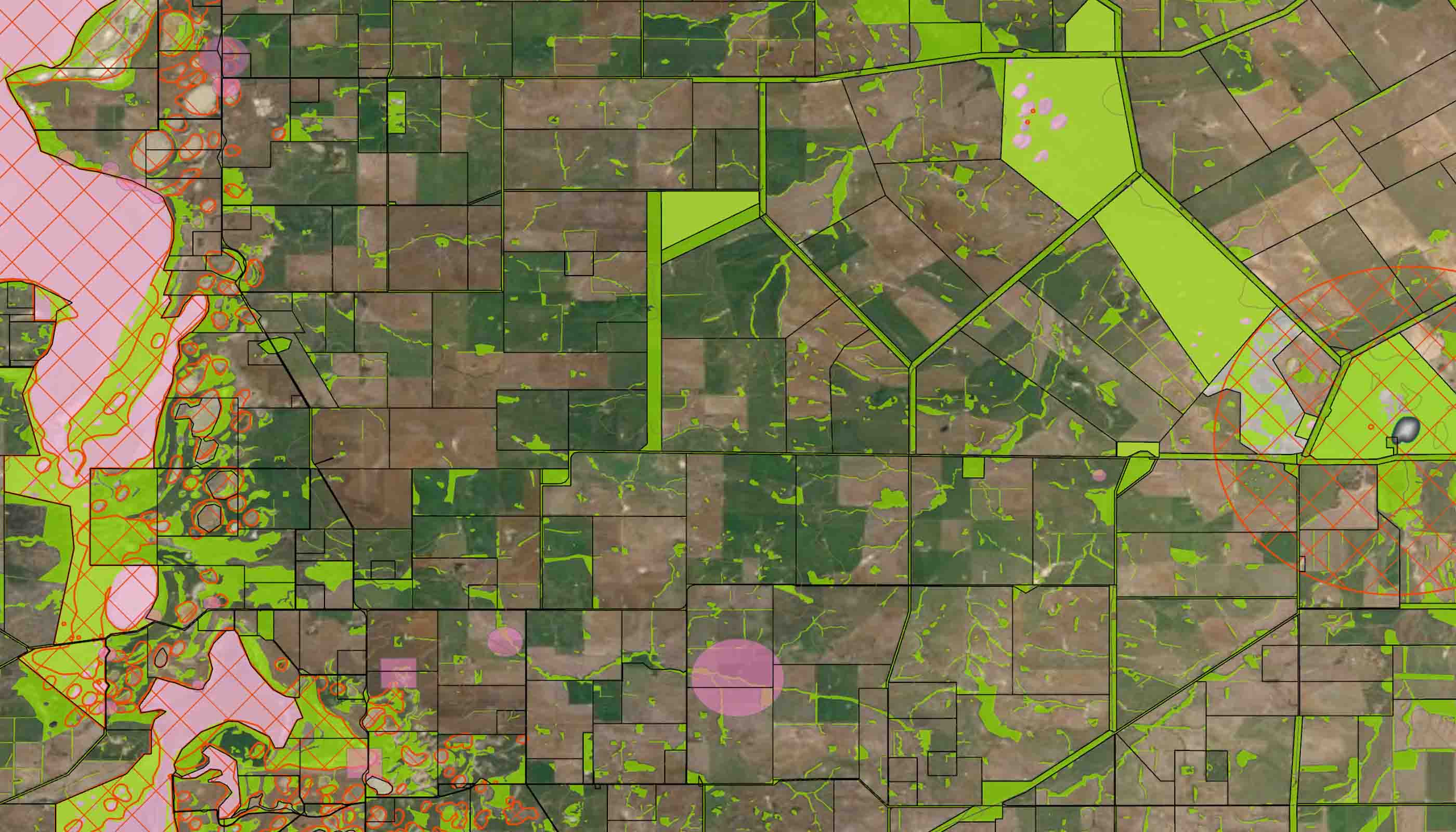
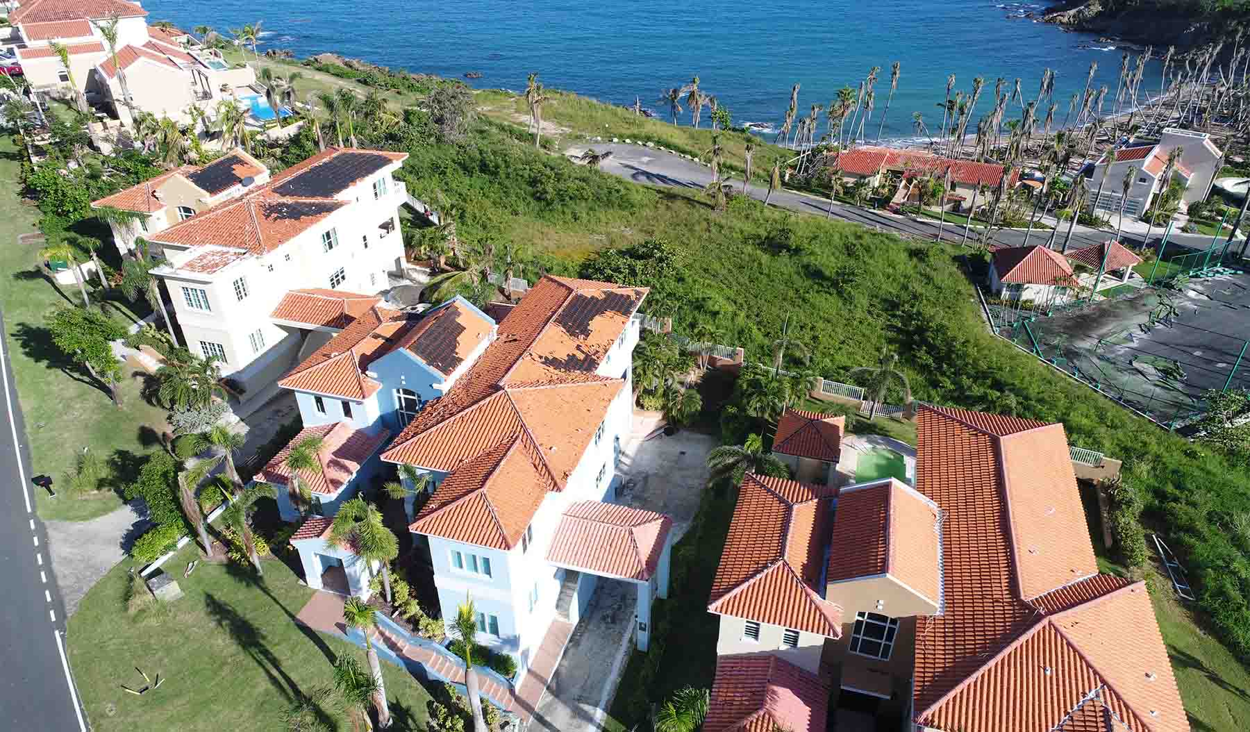
Our GlobeWATCH services use Earth observation imaging solutions to offer new ways to scan, detect, and identify changes in the environment. Using a range of remote sensing technologies—unmanned aerial systems (UAS), photogrammetry, LiDAR, underwater acoustics, and satellite imagery—in combination with in-person investigations, we provide comprehensive and repeatable methods to monitor and measure environmental changes to sites over time.
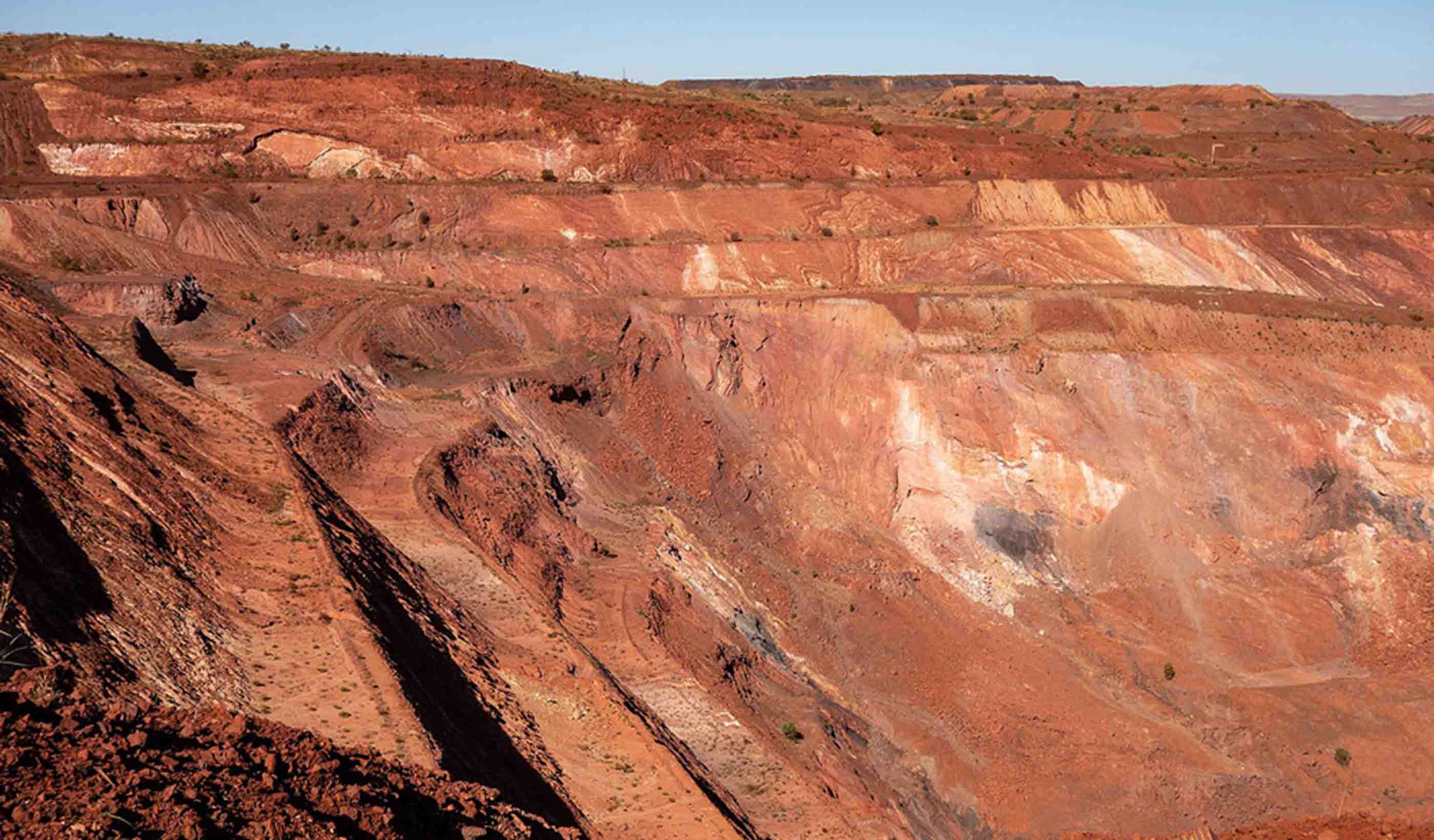
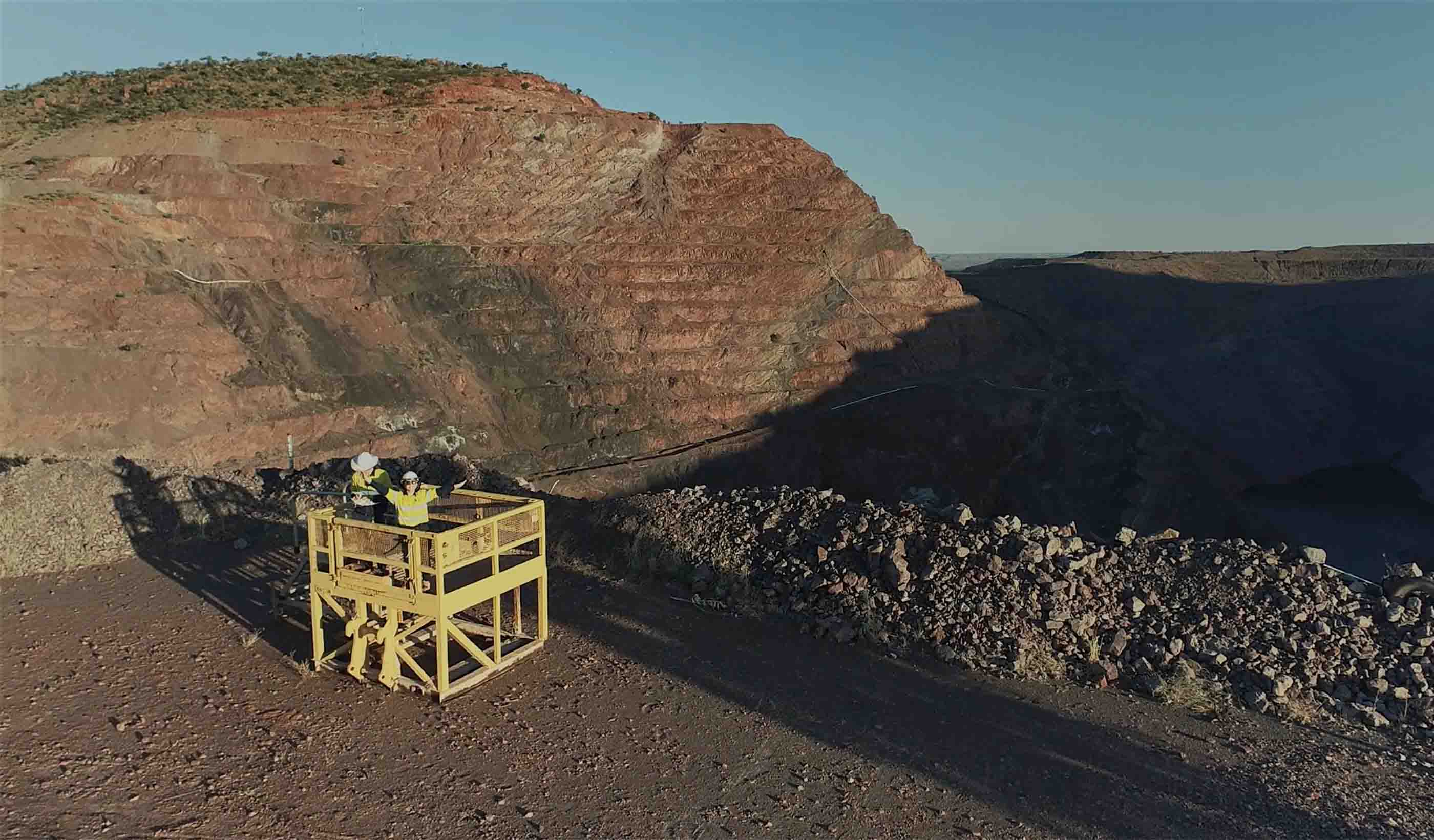
Our remote sensing analysts and environmental specialists collaborate to generate accurate and reliable data about almost anything related to the surface of the earth. In the resources sector, we use our remote sensing services to monitor rehabilitated mine sites for environmental performance. Monitoring over time provides a record of information, which we can help you use to plan your relinquishment or remediation.
Reducing project costs and the health and safety risks of field work, our Remote Sensing team offers accurate, efficient service to you—regardless of your project's size or location.
Monitoring environmental impacts for the mining and energy industry
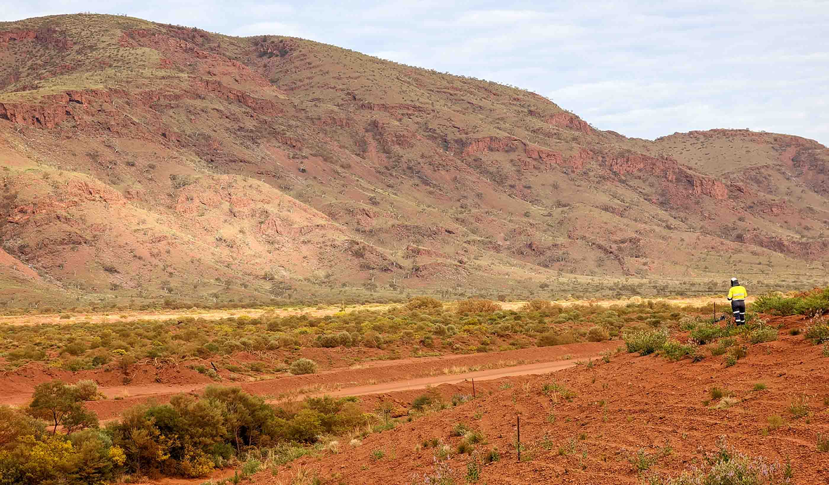
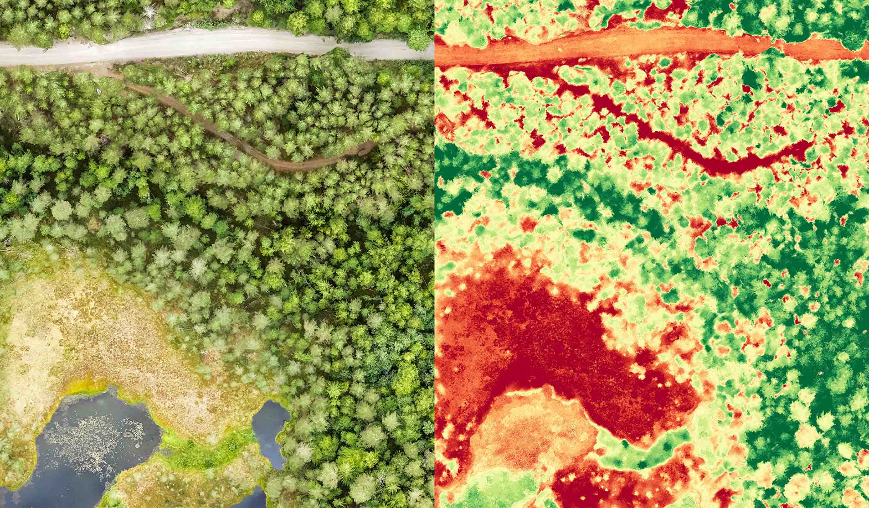
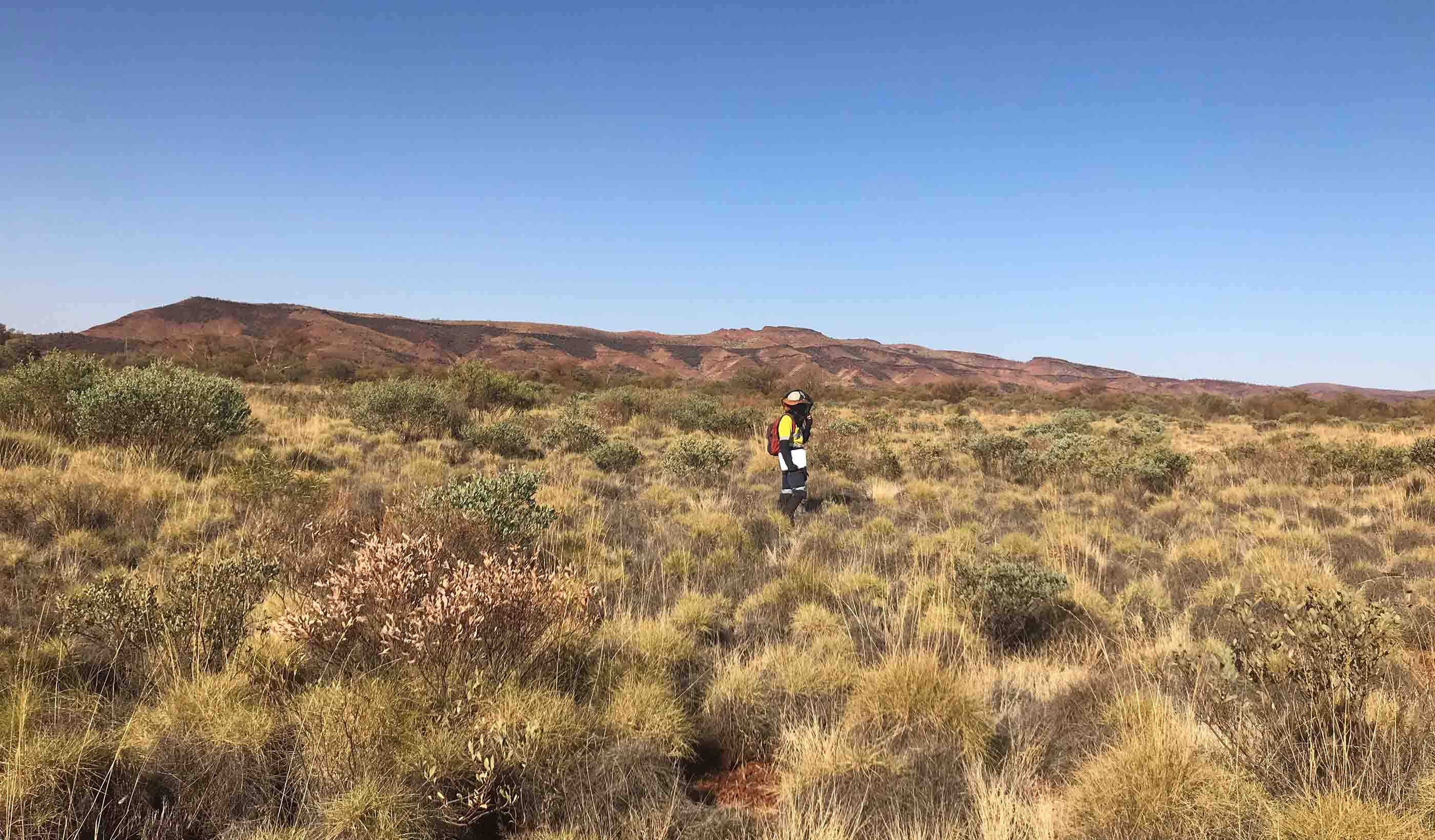
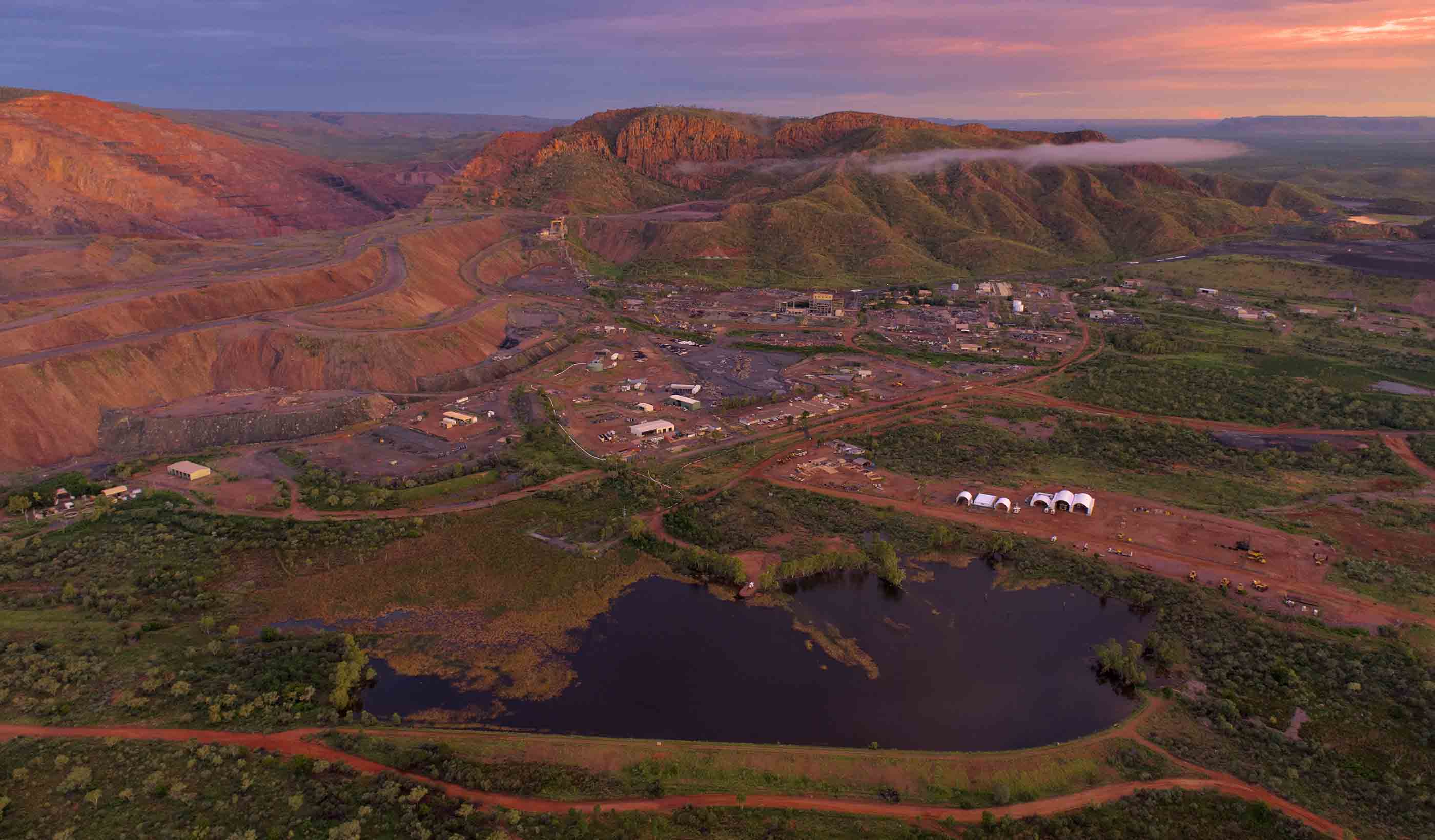
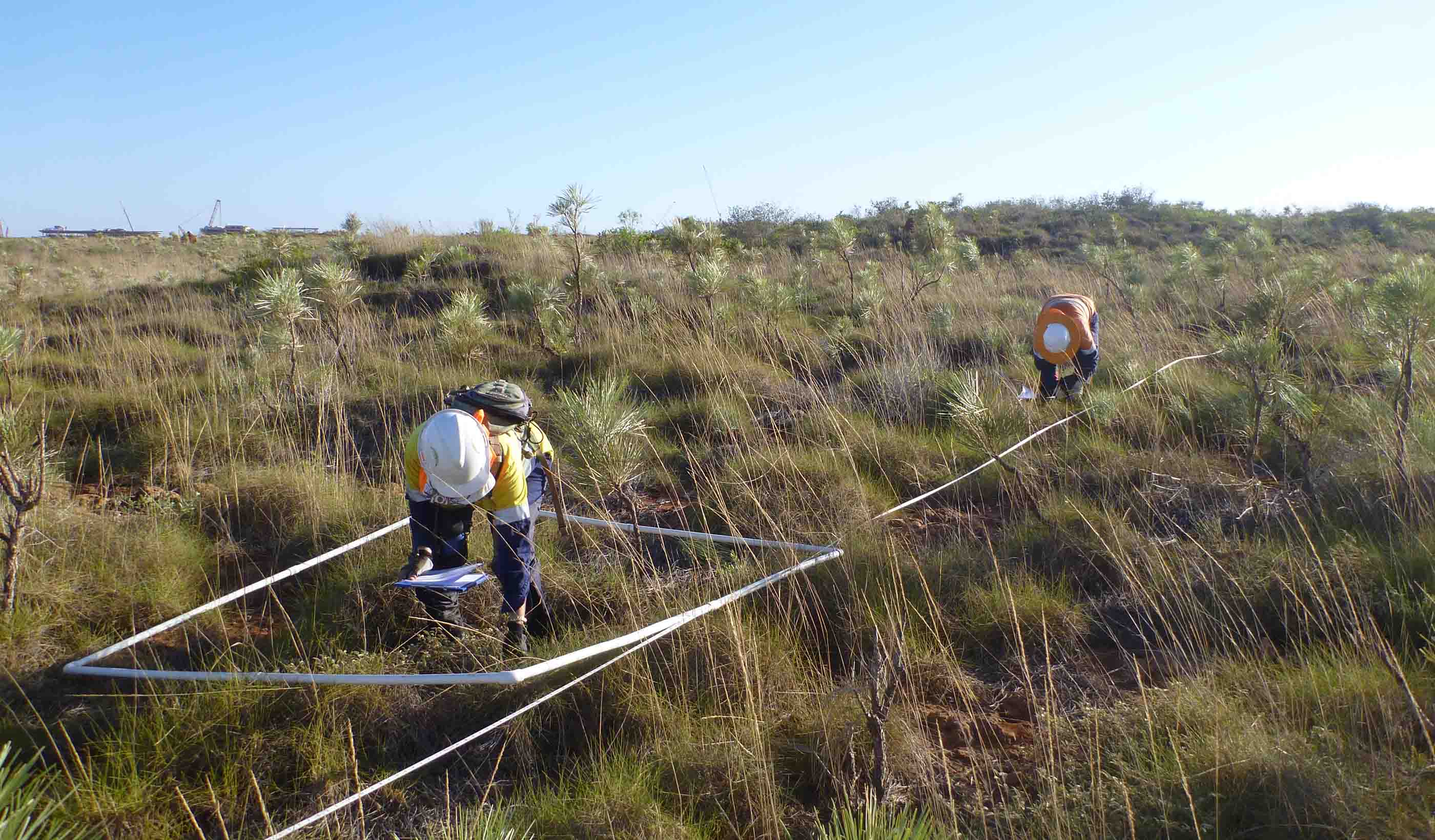
Using our remote sensing technologies to analyse changes in vegetation, we support the mining and energy sectors by monitoring environmental impacts and measuring the success of rehabilitation programs. With sites often in remote locations and difficult to access for traditional rehabilitation monitoring methods, remote sensing can provide a more efficient option by reducing the field survey effort required and minimising health and safety risks. Read MoreMeasuring carbon stored in your soil with CarbonWATCH
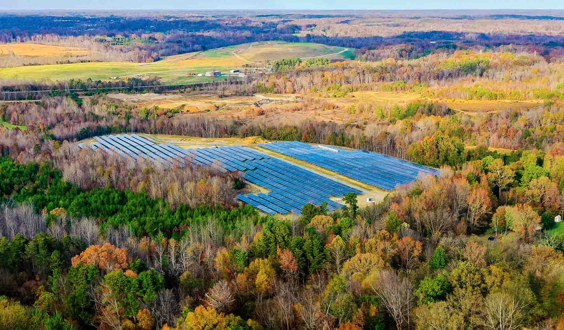
Using remote sensing and machine learning, we can build accurate soil carbon models—and knowing how much carbon is stored in your soil can help you achieve your environment, social, and governance (ESG) goals. Our CarbonWATCH service monitors carbon across large sites and in remote areas, calculating carbon across space and time. This method can save you time and money by reducing the need for manual soil sampling. As part of this service, we’re working with clients to identify areas with the greatest carbon sequestration potential.Pipeline leak detection monitoring using PipeWATCH
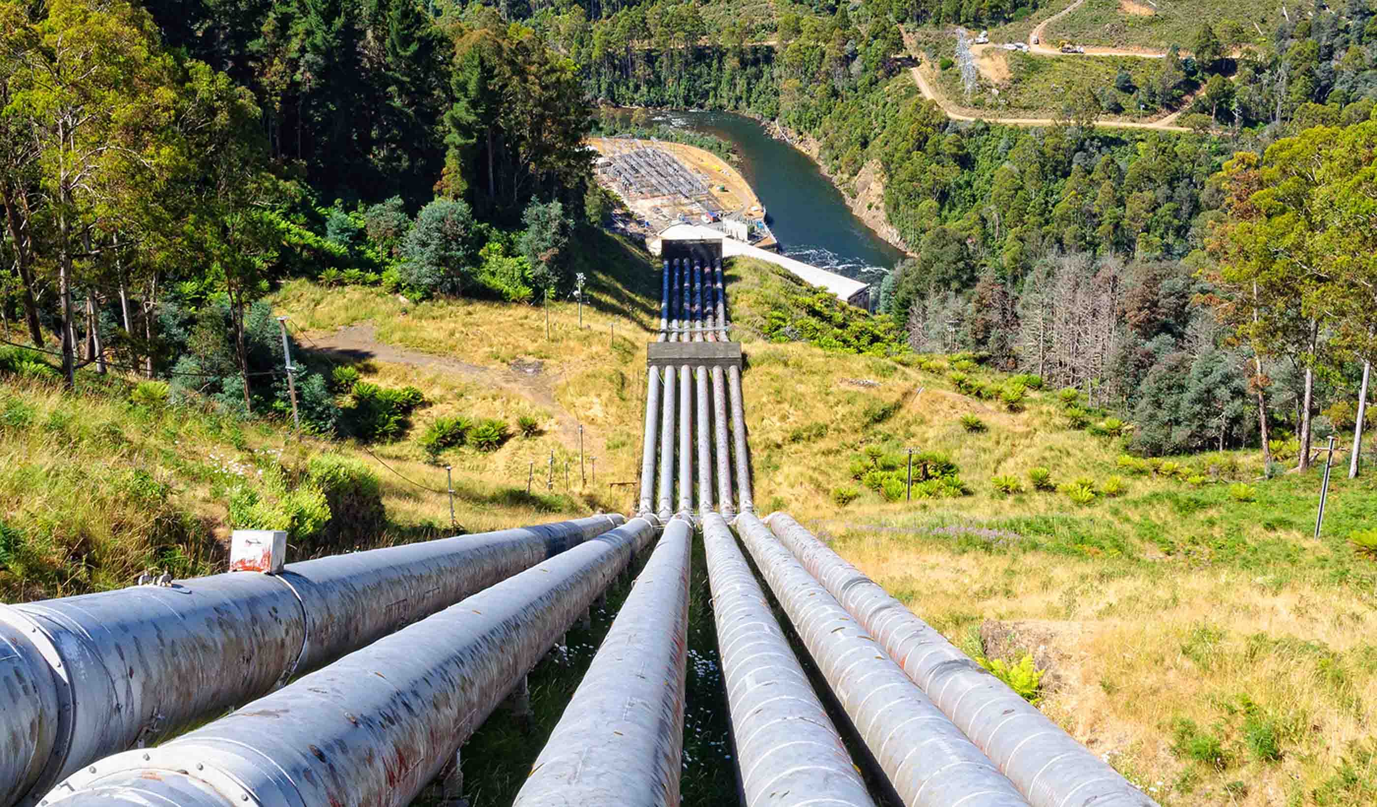
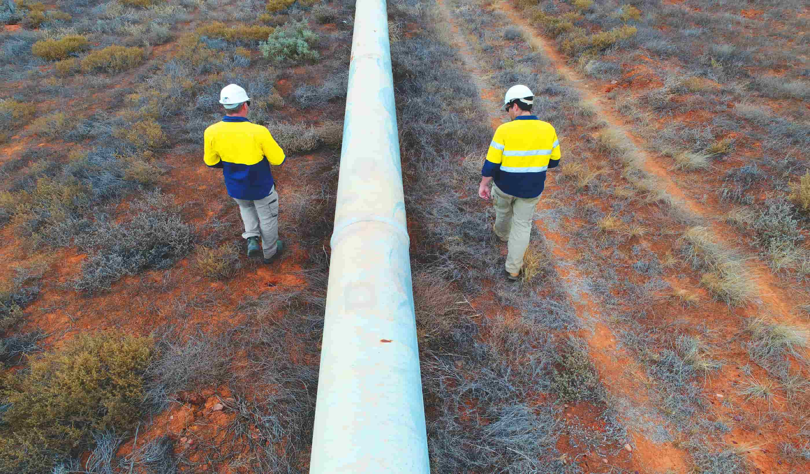
An automated, web-based tool, PipeWATCH collects daily, high-resolution satellite imagery to compare vegetation signatures over time and identify areas where a subsurface leak might have occurred. These plant foliage measurements are highly sensitive, monitoring foliar absorption and reflection to detect vegetation health decline. You can use our growing satellite database to employ a reliable and finely tuned alert system to monitor your pipeline network, minimising environmental impacts as well as field work.Natasha Banning, Group Lead, Rehabilitation, Closure and Geoscience
I love that I can work towards restoring ecosystems that have been disturbed while improving the environmental outcomes for our projects.
Ben McMillan, Team Lead, Rehabilitation
I support our mining clients with environmental rehabilitation and restoration services to achieve successful mine closures and remediation.
David Jasper, Environmental Science Technical Leader
Our Perth office serves a geographically diverse state, with a large and diverse resources industry—which means a lot of opportunity.
Amy Steiger, Geospatial Discipline Lead, ANZ
Spatial science and digital technology is expanding at a rapid pace, and I love how we can use this knowledge to improve project outcomes.
We’re better together
-
Become a client
Partner with us today to change how tomorrow looks. You’re exactly what’s needed to help us make it happen in your community.
-
Design your career
Work with passionate people who are experts in their field. Our teams love what they do and are driven by how their work makes an impact on the communities they serve.
