Geohazards
Getting ahead of geohazards
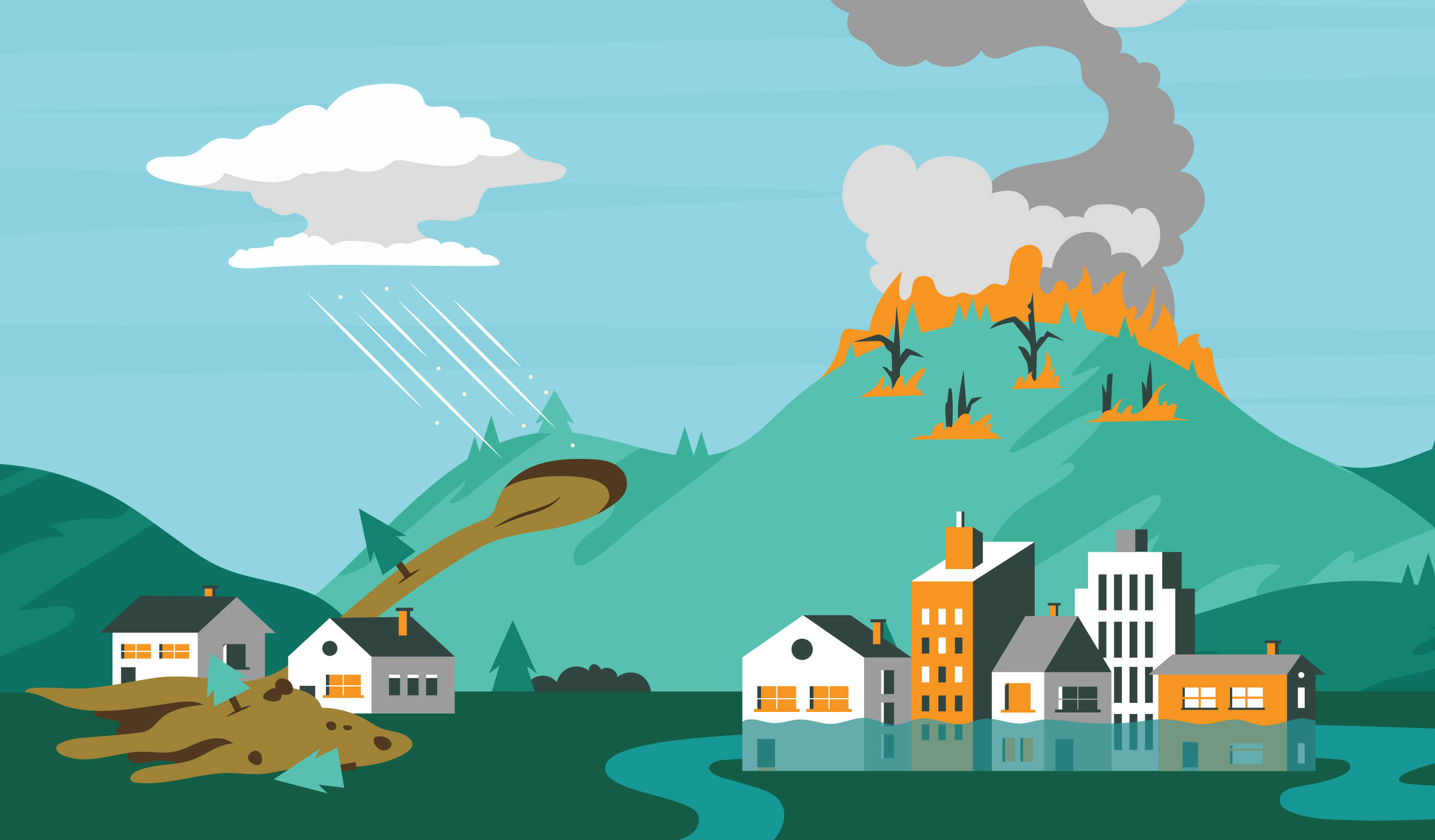
Geohazards are geological and geomorphological processes, phenomena, or conditions that may pose a threat to the safety and well-being of communities, infrastructure, property, and the environment.
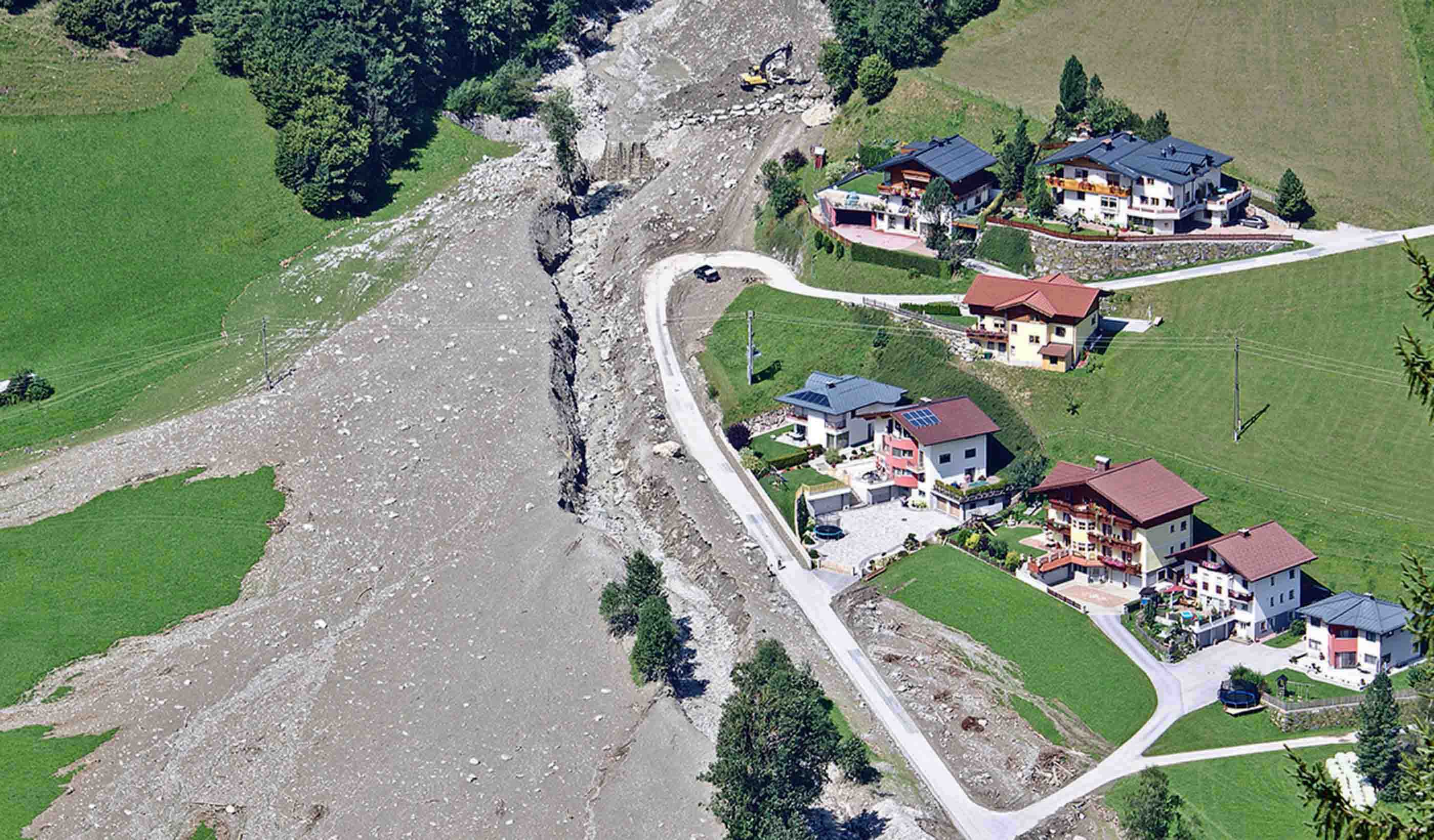
Natural and man-made cavities, landslides, floods, subsidence, and coastal erosion are common geohazards that affect millions of people around the world every year. Your communities rely on the safe and environmentally sound development of natural resources, and these hazards make that process more challenging.
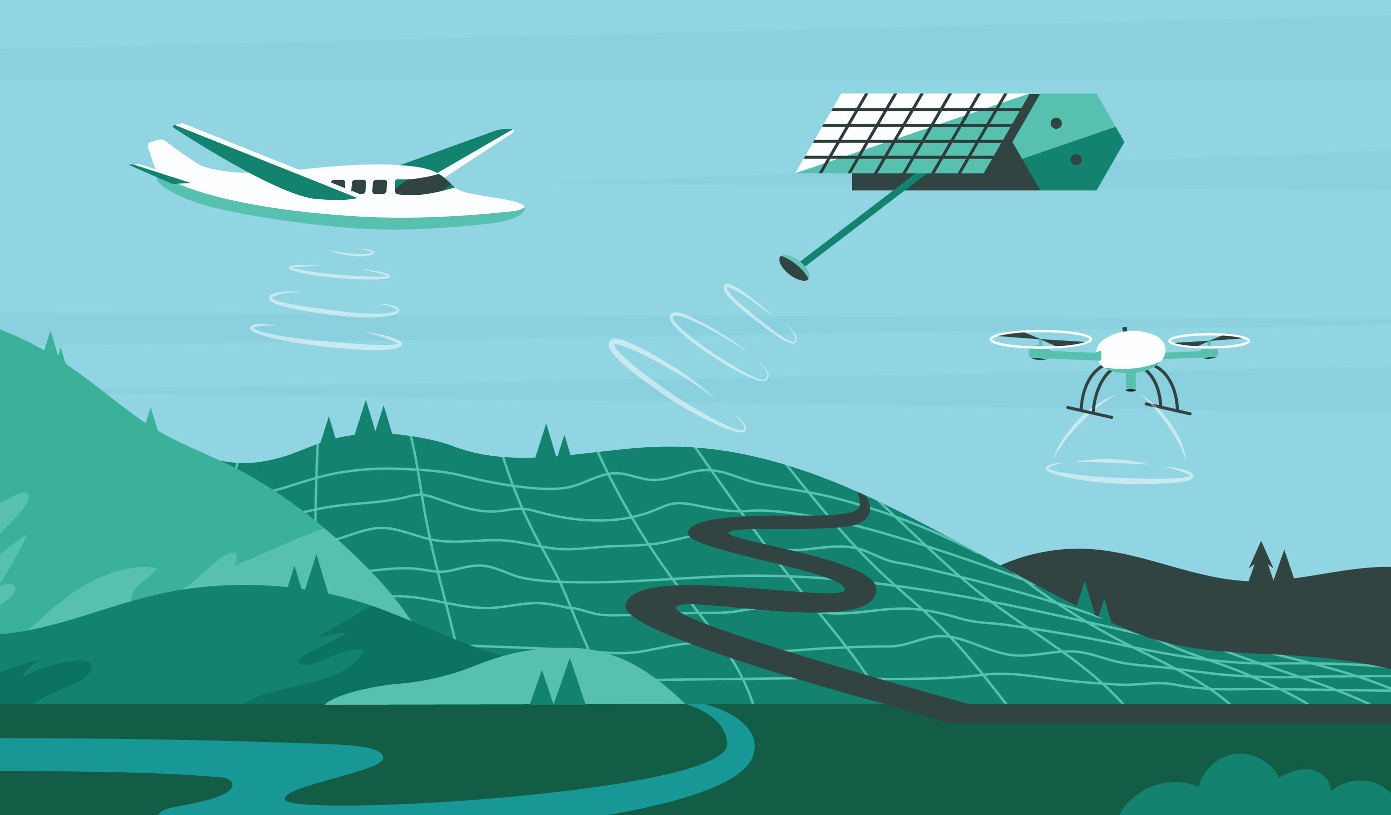
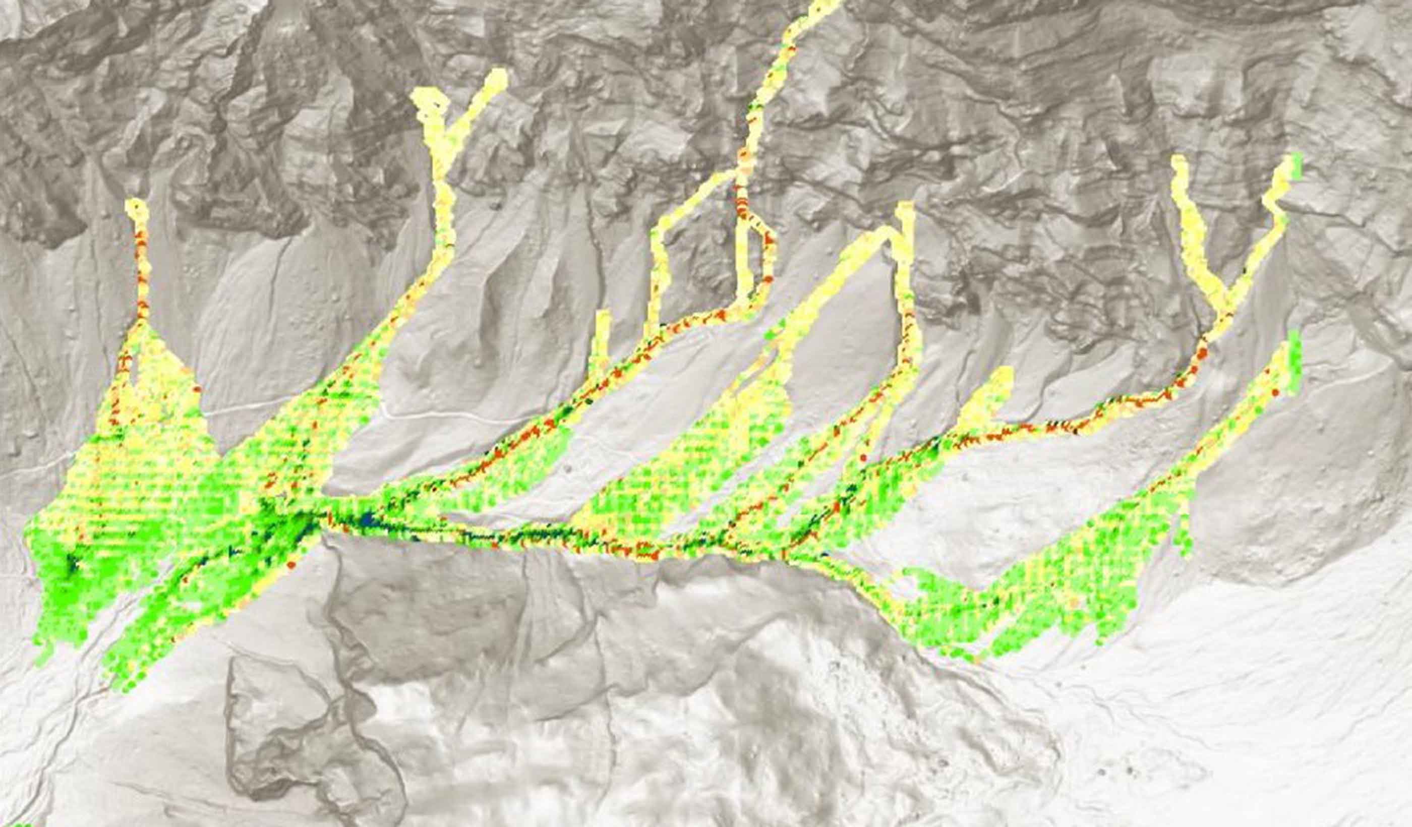
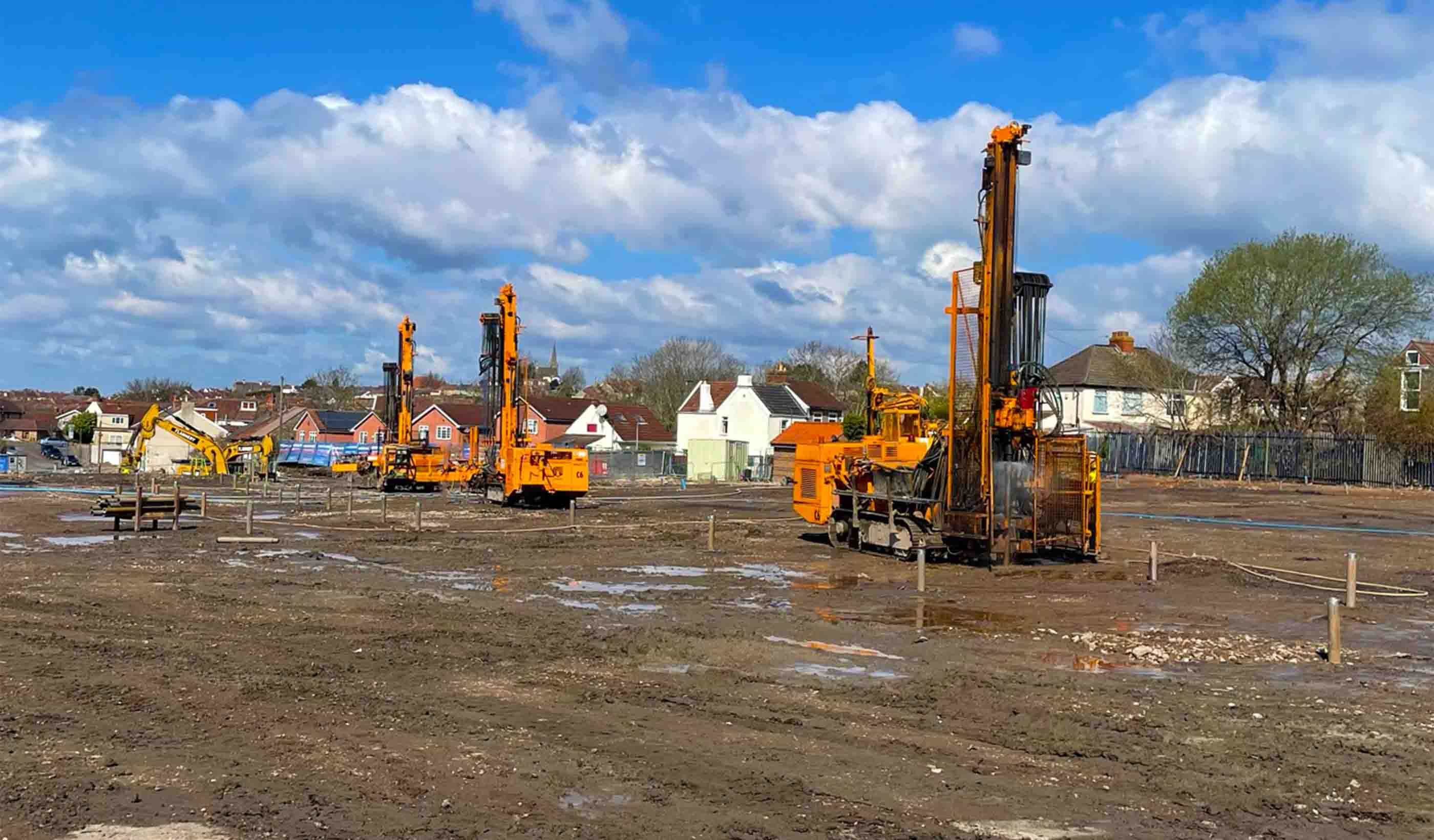
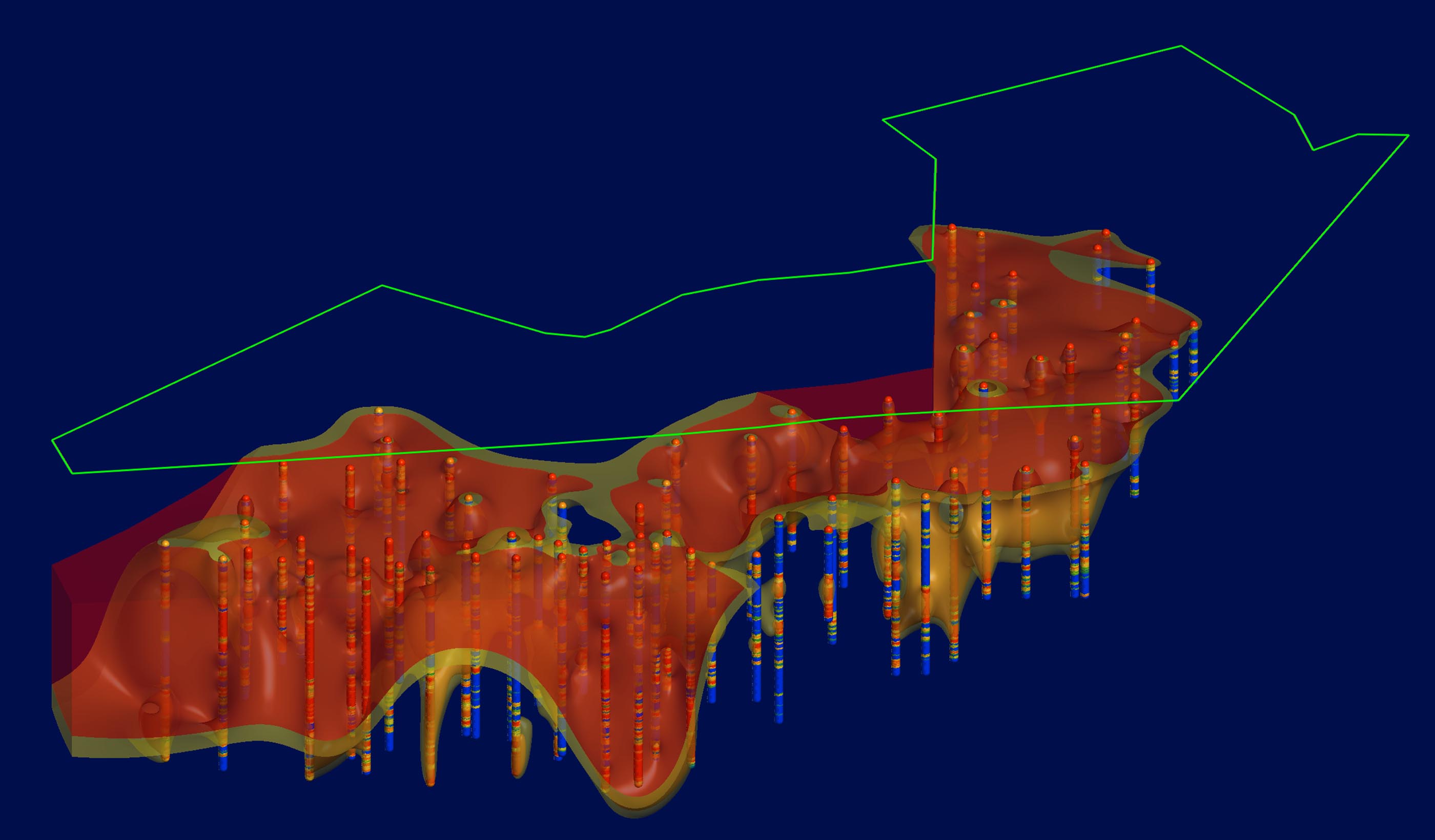
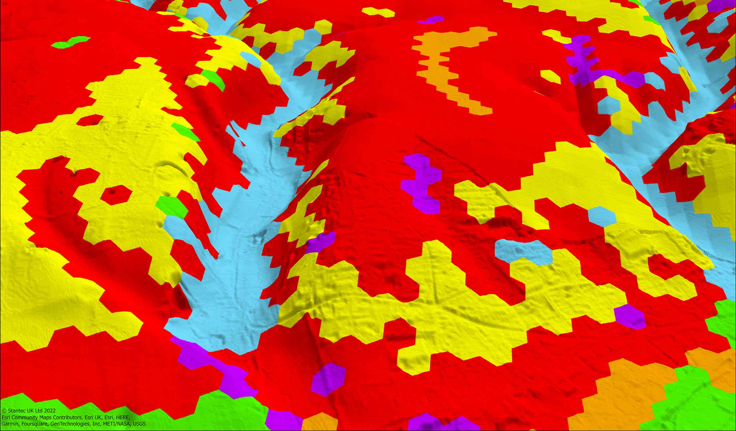
Our team conducts risk assessments on both existing infrastructure and proposed new development. We combine detailed digital mapping, field reconnaissance, intrusive site investigation, and instrumentation with geophysical and remote sensing techniques. This suite of tools helps us to assess potential hazards and to deliver engineering solutions.
Our teams are dedicated to reducing impacts, preserving critical infrastructure, safeguarding the environment, and educating communities.
Connect with one of our geohazard specialists to learn how we can help you with your next project.
Stantec shortlisted twice in 2023 Ground Engineering Awards
Two Stantec projects have been shortlisted in the Technical Excellence category at the Ground Engineering Awards 2023. The award recognises a high-tech advancement or concept that has helped a company improve its performance or overcome a challenge. Read MoreCavities Database
Understand your ground instability risks using Cavities Database, a Stantec digital solution that compiles over 32,000 records. Our Cavities Database allows you to quickly check for potential instability and identify locations for further assessment. The services can be scaled to enhance the level of detail, and we can also incorporate ground investigation data. Read MoreJames Weddle, Senior Associate
Helping clients solve complex geohazard challenges to help them make effective risk mitigation decisions is what drives me.
Harry Gordon, Senior Engineer
Gaining an early understanding of how soluble rocks can present complex constraints to any project is becoming an increasingly crucial task.
Richard Guthrie, Vice President
Geohazard innovation is about designing new, novel, and safe solutions that benefit clients, project teams, and our field of work.
Emma Reid, Principal Engineering Geomorphologist
I help clients understand and visualise hazards so they can make the best decisions to protect their infrastructure and communities.
We’re better together
-
Become a client
Partner with us today to change how tomorrow looks. You’re exactly what’s needed to help us make it happen in your community.
-
Design your career
Work with passionate people who are experts in their field. Our teams love what they do and are driven by how their work makes an impact on the communities they serve.
