- Location
- British Columbia
- Offices
-
- Location
- British Columbia
- Offices
Share
Cowichan Valley Landslide Hazard Assessment
On Vancouver Island, the Cowichan Valley Regional District (CVRD) manages approximately 350,000 hectares (865,000 acres) of forested mountainous terrain and coastal land that includes several towns, rural communities, and gulf islands. In order to protect lives and property, the CVRD follows their Natural Hazard Risk Tolerance policy that limits development where the annual risk of loss of life from natural hazards is less than one in ten thousand (1:10,000). They turned to us for help with identifying areas prone to their most common steep slope hazards—debris flows, debris avalanches, and rockfall.
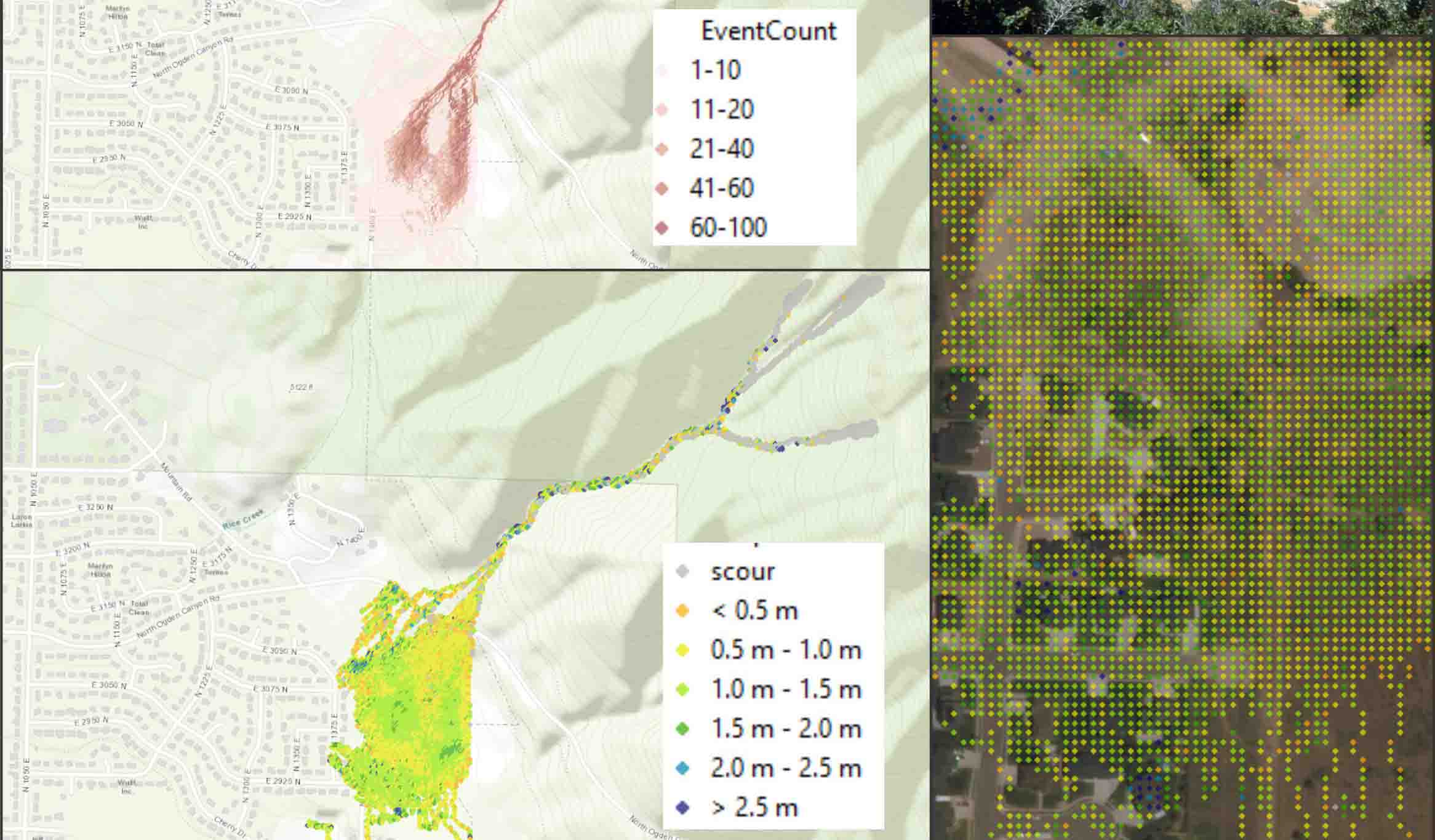
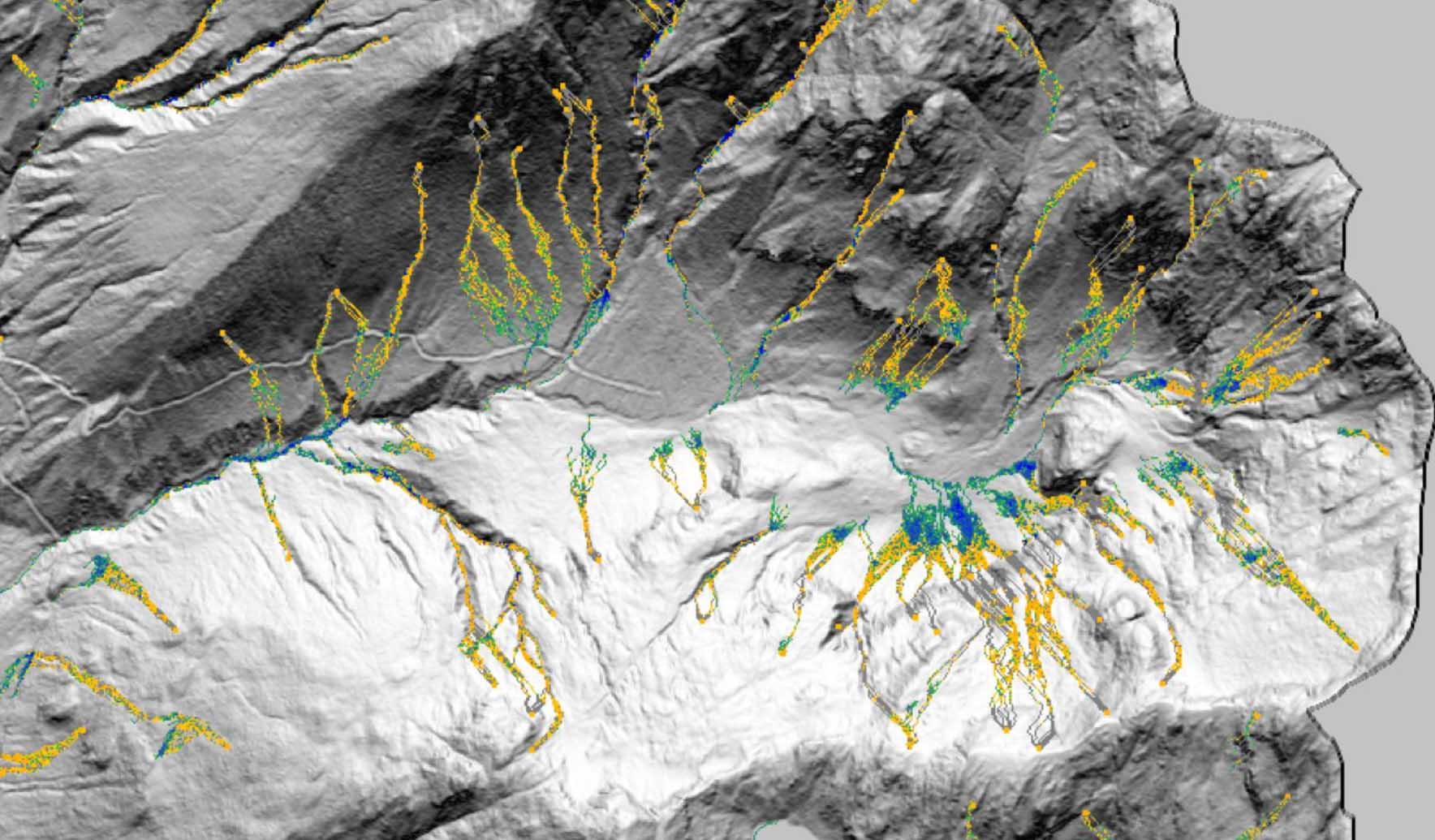
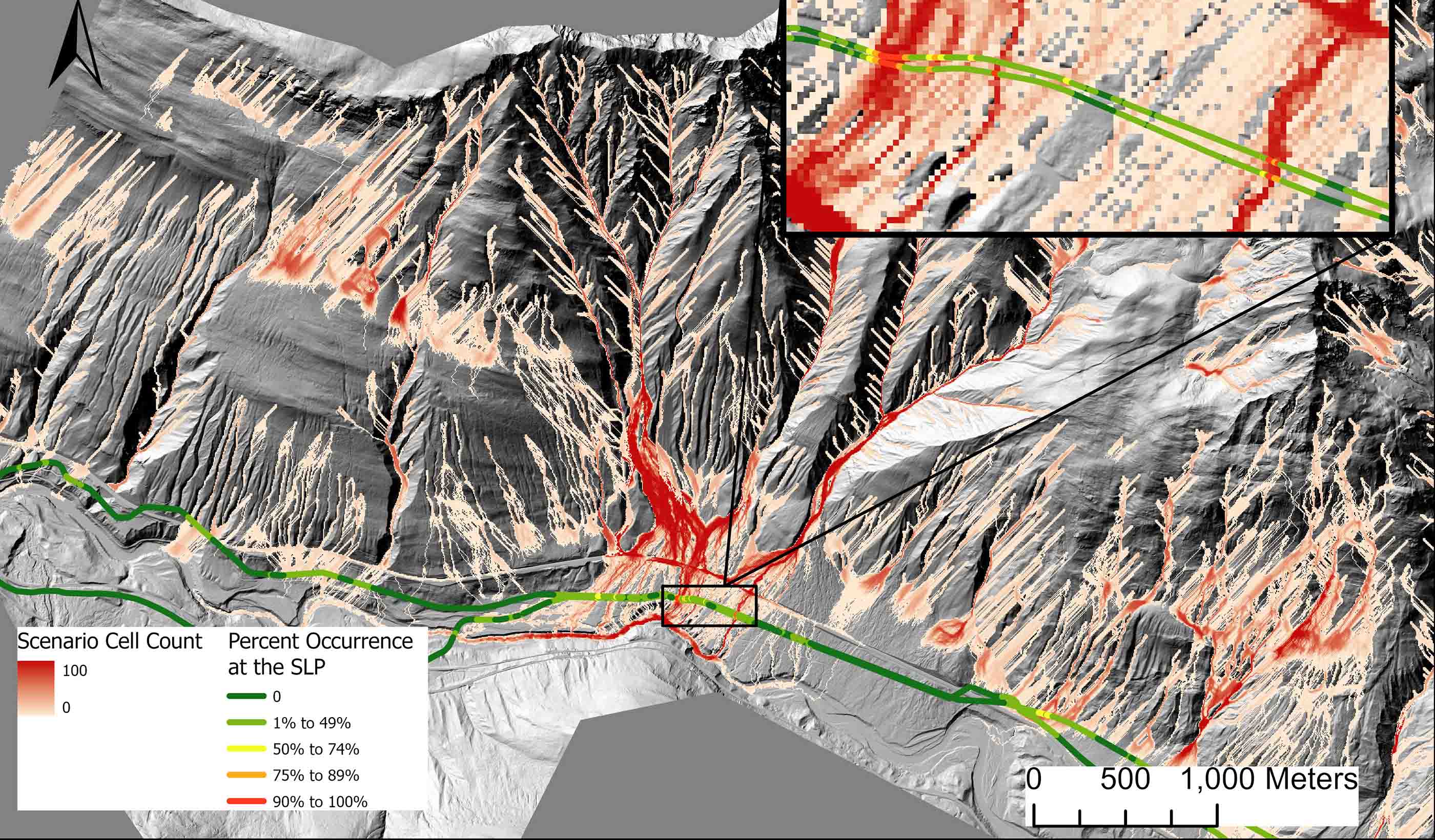
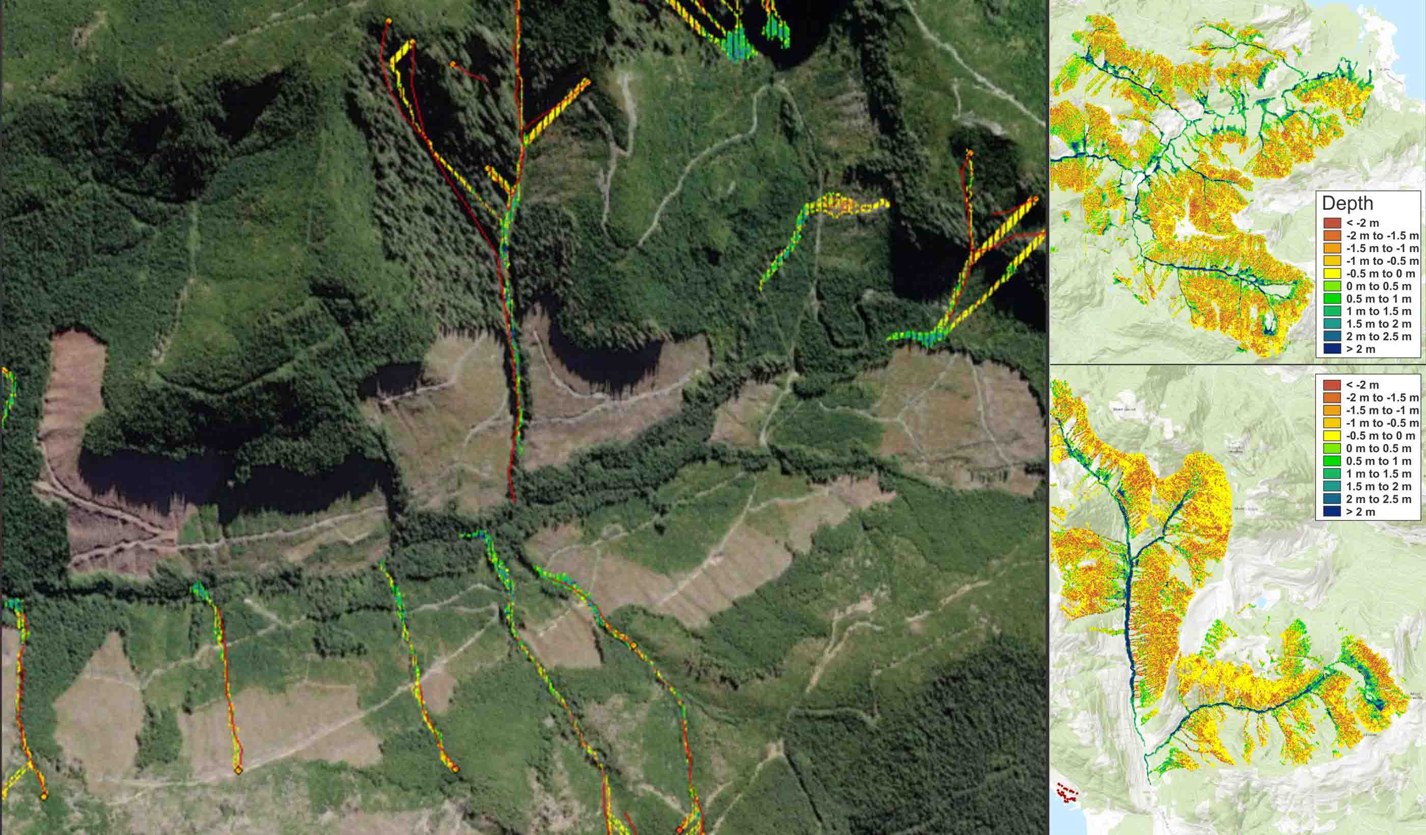
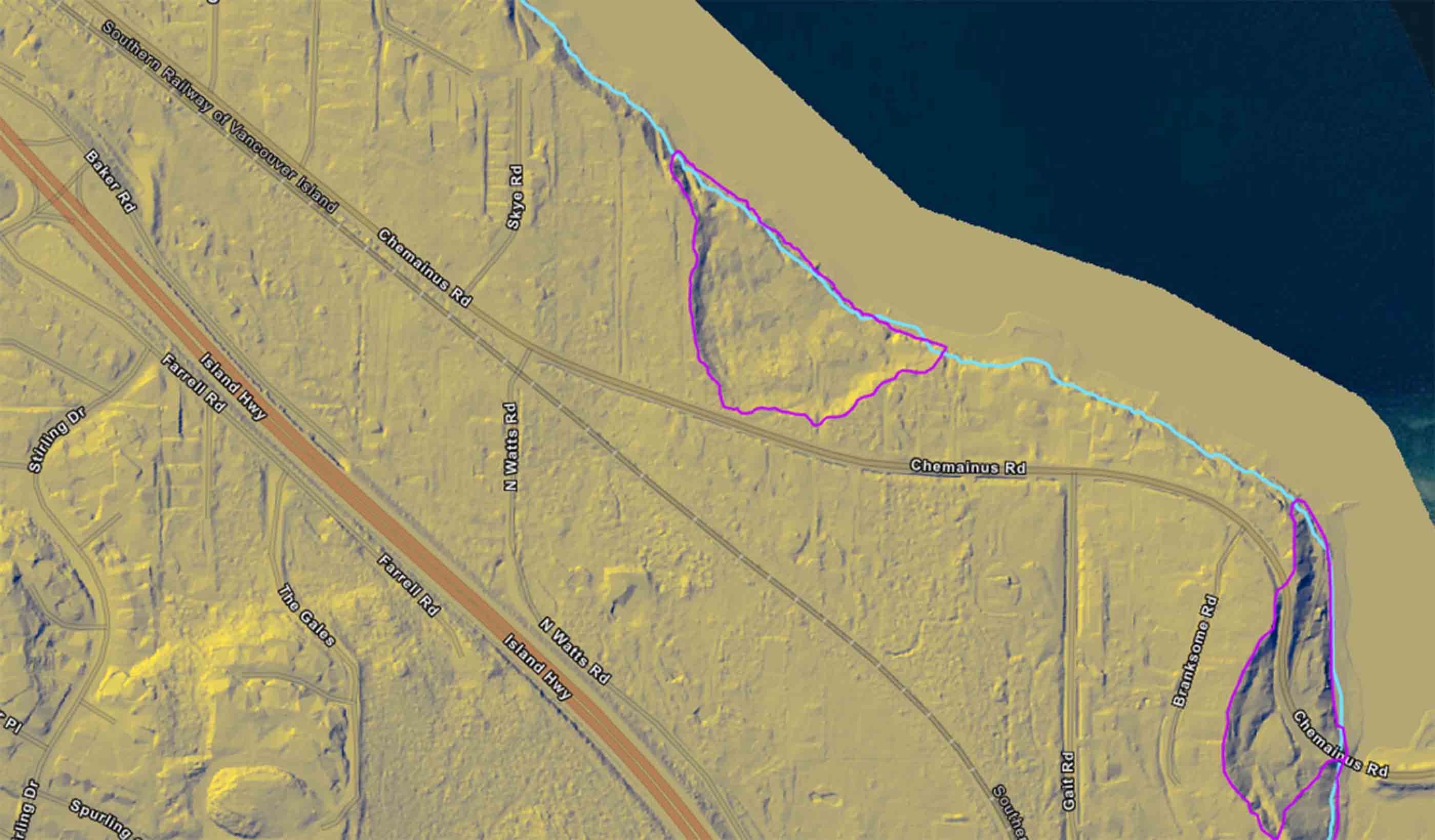
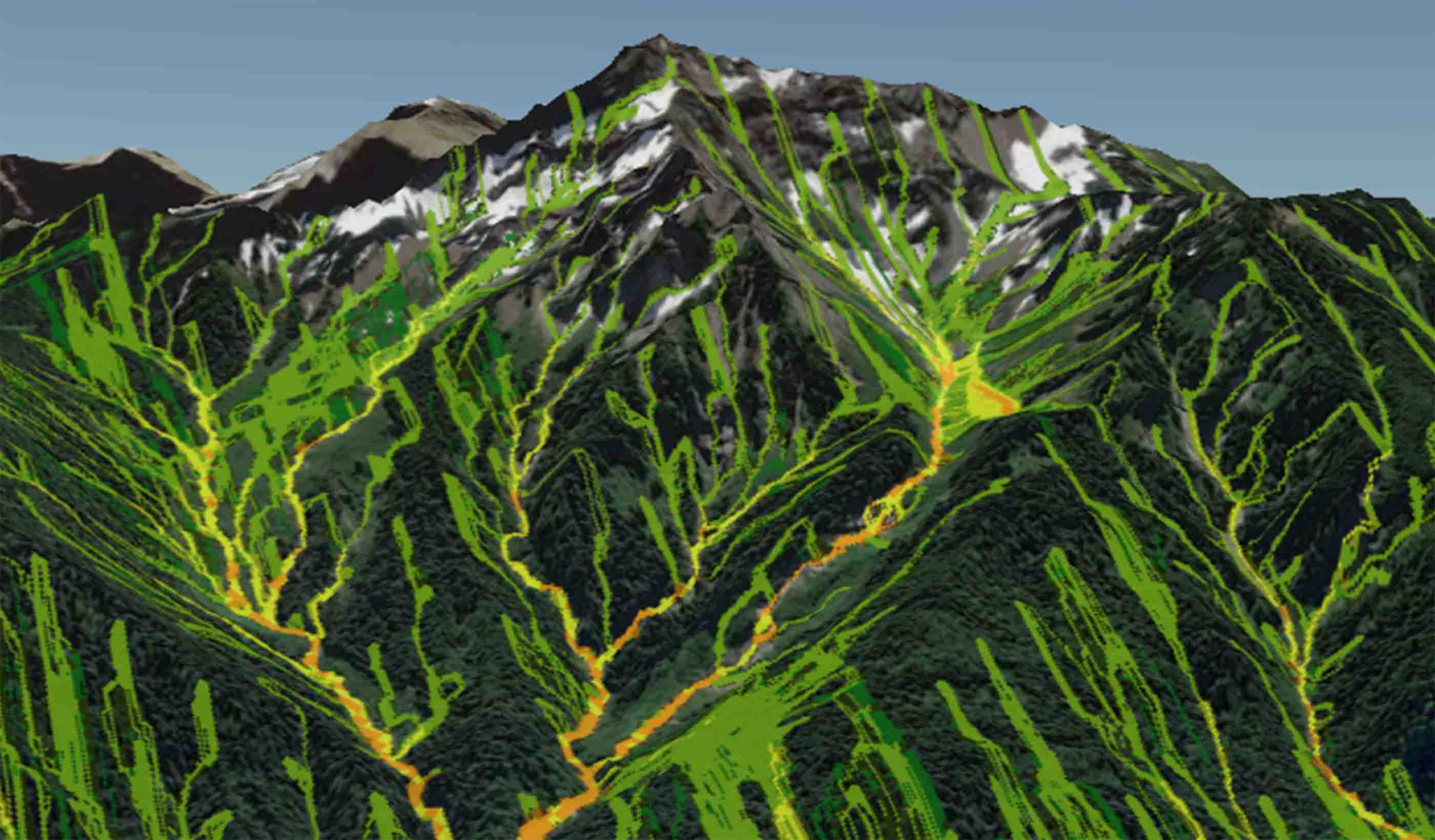
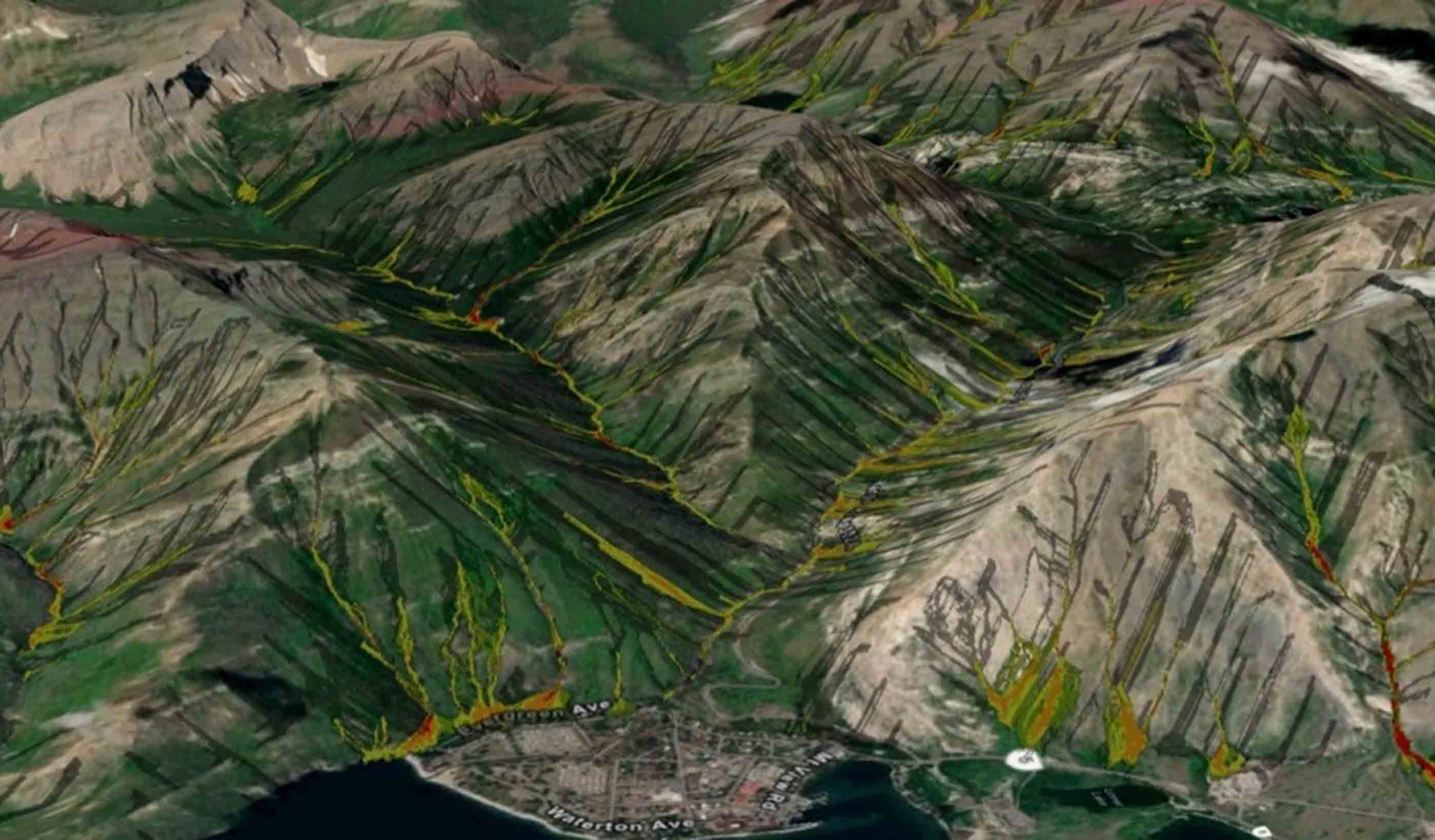
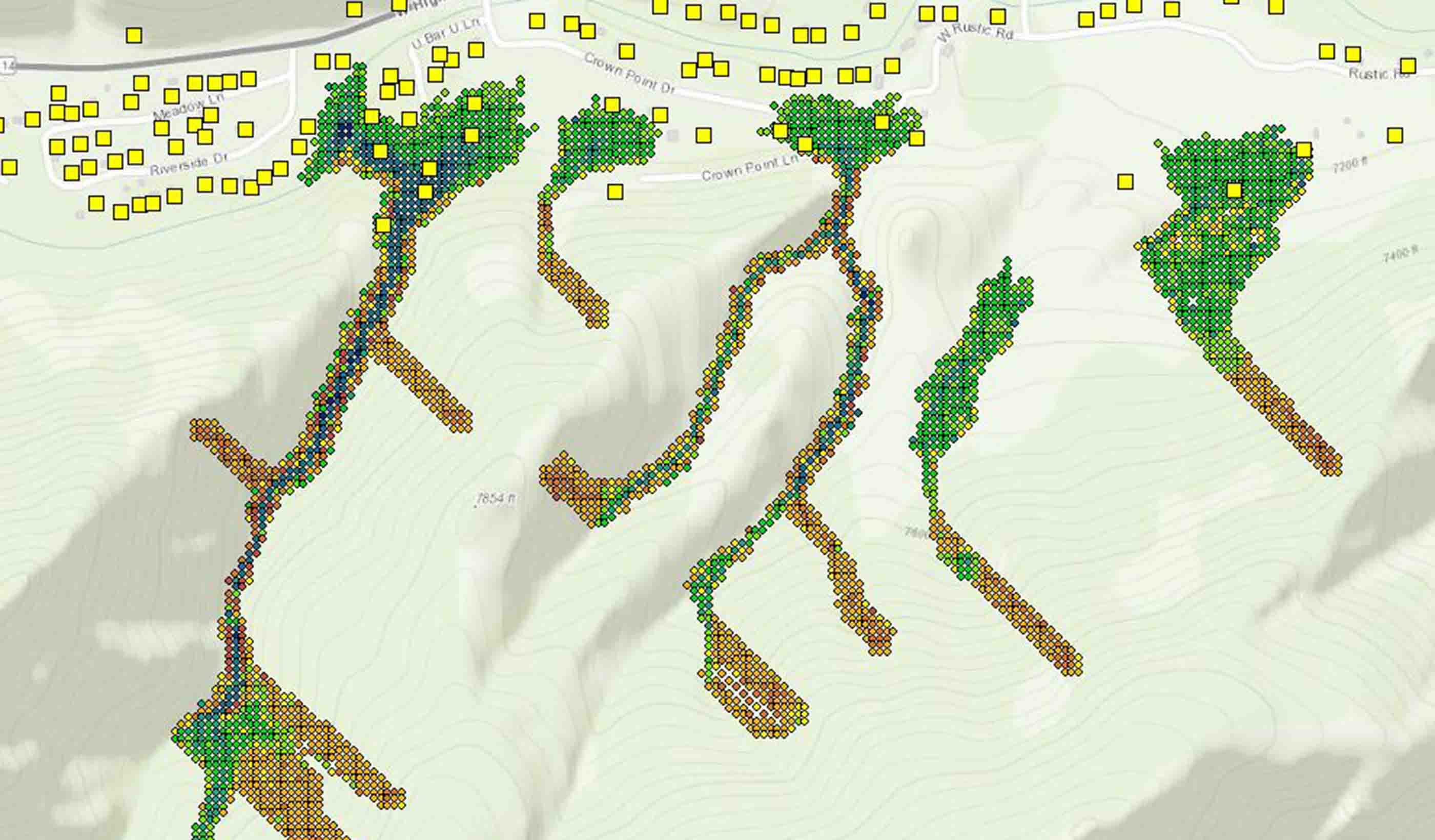
We partnered with Palmer to undertake this regional assessment for inland developed areas of the District (and our team also completed a coastal landslide assessment within a separate scope of work for the District). Our team of geohazard specialists deployed multiple innovative solutions to complement the assessment and provide the CVRD with reliable delineation of potential hazard zones. To determine debris flow and debris avalanche hazard, we completed a landslide inventory within a limited area of the district and developed a weights of evidence model from that inventory. The weights of evidence model enabled us to identify potential initiation locations and quantify the likelihood of landslide occurrence across the landscape. We then used our proprietary, agent-based landslide model, DebrisFlow Predictor, at over 150,000 source zones in the region to model landslide runout and determine the downslope hazard. To determine areas of potential rockfall hazard, we remotely identified source areas and adapted the rockfall shadow concept in GIS (geographical information software) to provide the spatial extent of rockfall downslope.
Based on our results, our team presented hazard zonation advice that provided the client with information to determine new development planning options—communities in the CVRD can be developed more safely because of our work.
- Location
- British Columbia
- Offices
-
- Location
- British Columbia
- Offices
Share
Richard Guthrie, Vice President
Geohazard innovation is about designing new, novel, and safe solutions that benefit clients, project teams, and our field of work.
Sid Tsang, Principal, Geohazards and Geomorphology
I am passionate about how applying aerial photo interpretation and terrain mapping can help guide land-based decisions for our clients.
We’re better together
-
Become a client
Partner with us today to change how tomorrow looks. You’re exactly what’s needed to help us make it happen in your community.
-
Design your career
Work with passionate people who are experts in their field. Our teams love what they do and are driven by how their work makes an impact on the communities they serve.

