- Location
- Utah
- Offices
-
- Location
- Utah
- Offices
Share
Utah Debris Flows
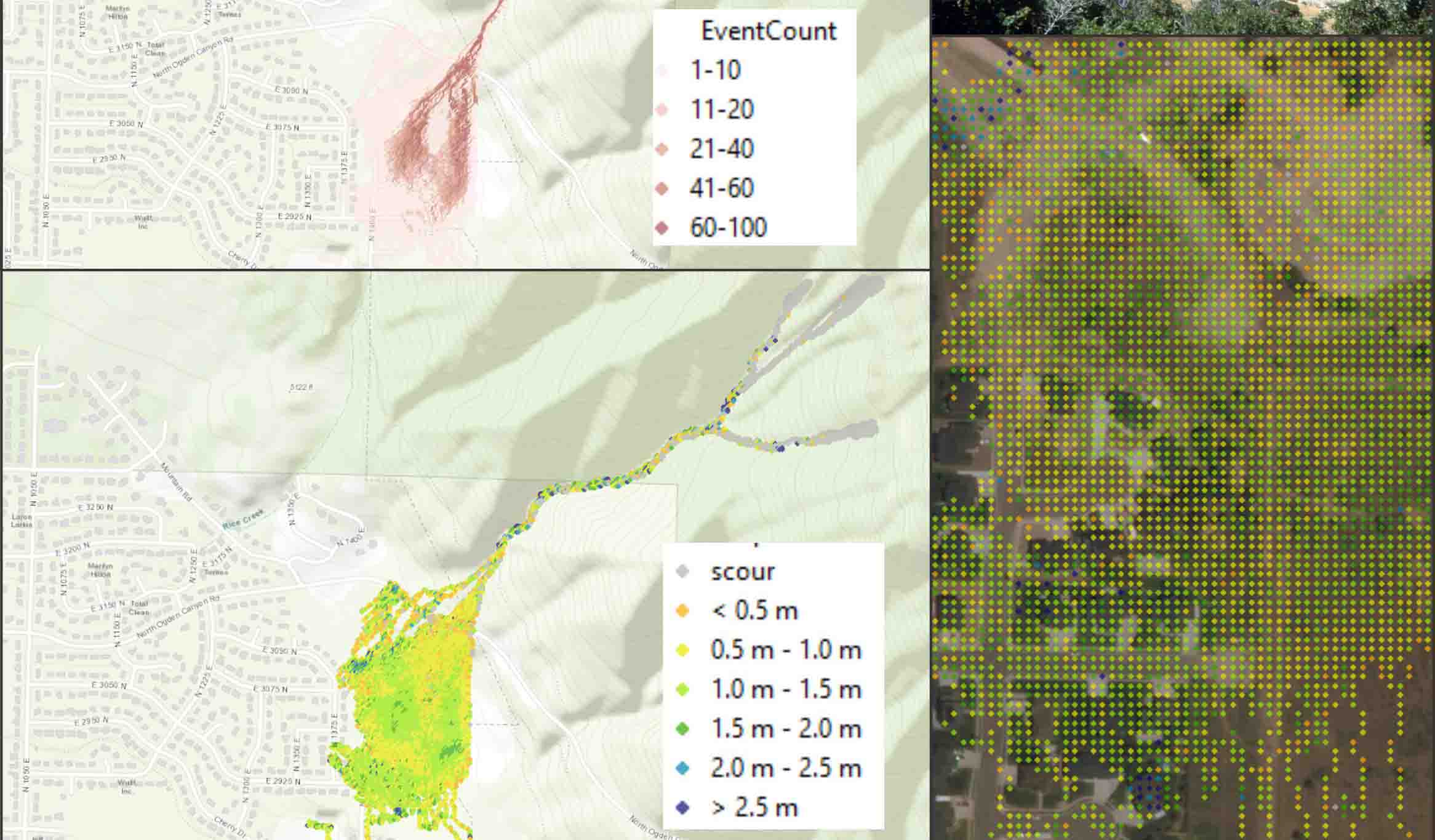
During a large rainstorm in 1991, a significant debris flow occurred from a canyon located in Utah’s Wasatch Ranges. An investigation into return frequencies suggested debris flows are triggered in the steep mountain watersheds every 100 to 300 years.
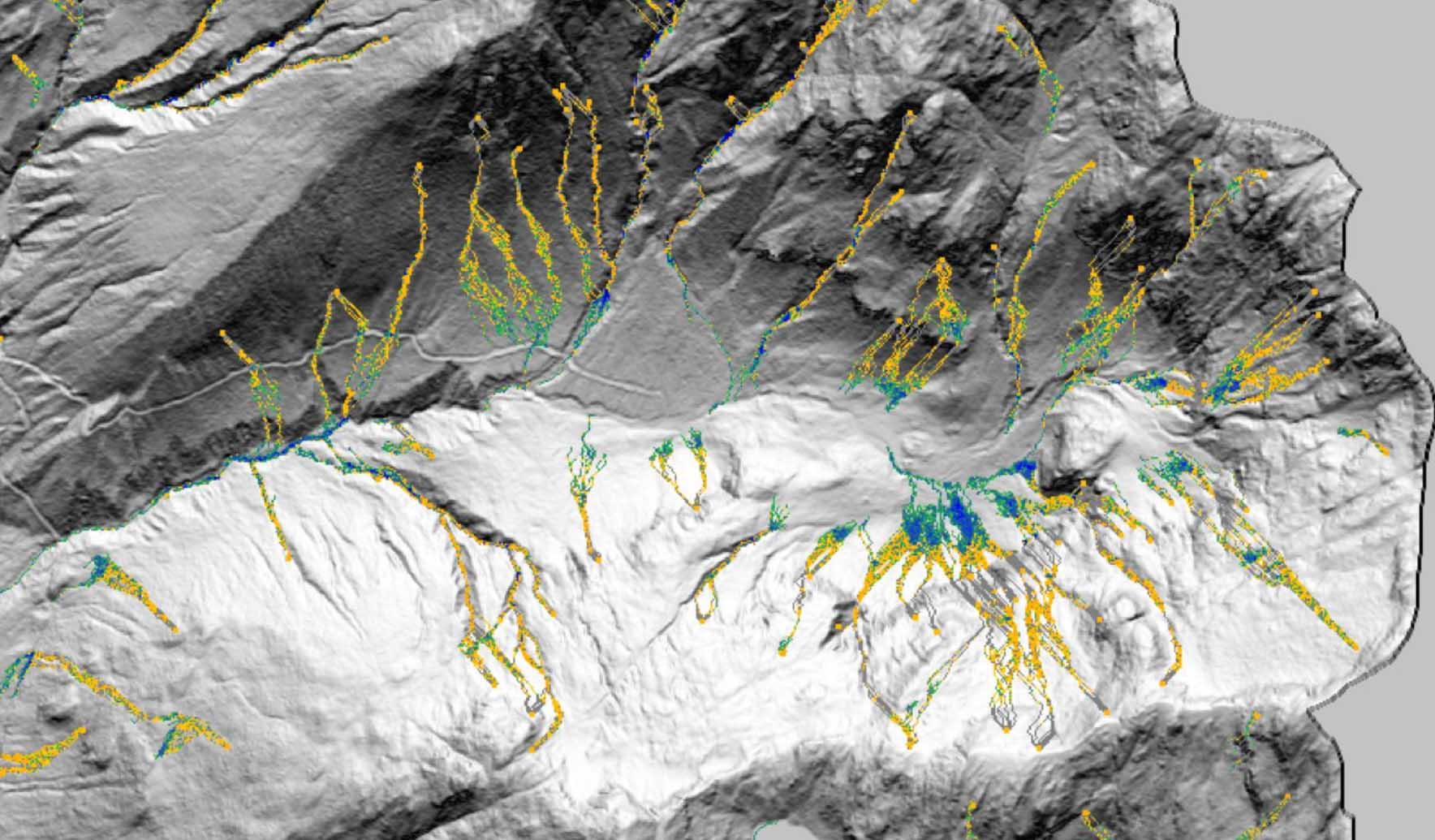
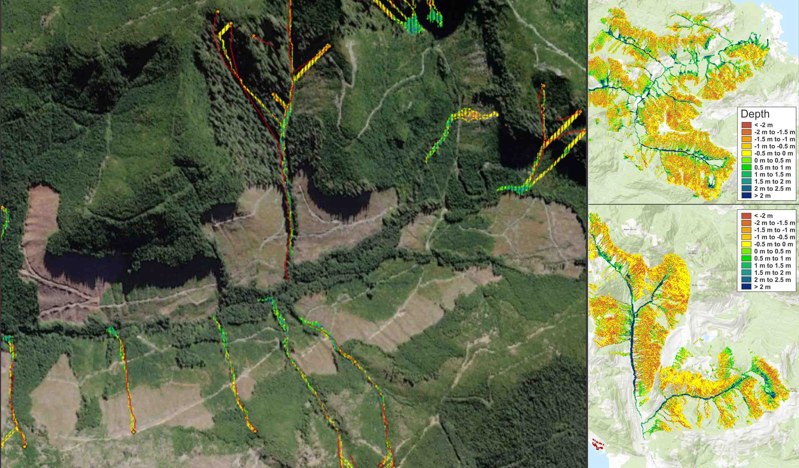
To protect lives and infrastructure, credibly predicting runout and volume characteristics is an important step to hazard and risk mapping. Using our DebrisFlow Predictor to recreate the 1991 debris flow, Stantec was able to predict future events. Our team initiated model landslide runs from the same three initiation zones that were mapped by the Utah Geological Survey. The model indicated that flows tended to be directed more southerly than in the 1991 debris flow but overall produced similar volumes, depths, and inundations even in multiple single runs. We ran the model 500 times to identify areas most likely to be threatened by a similar sized event today.
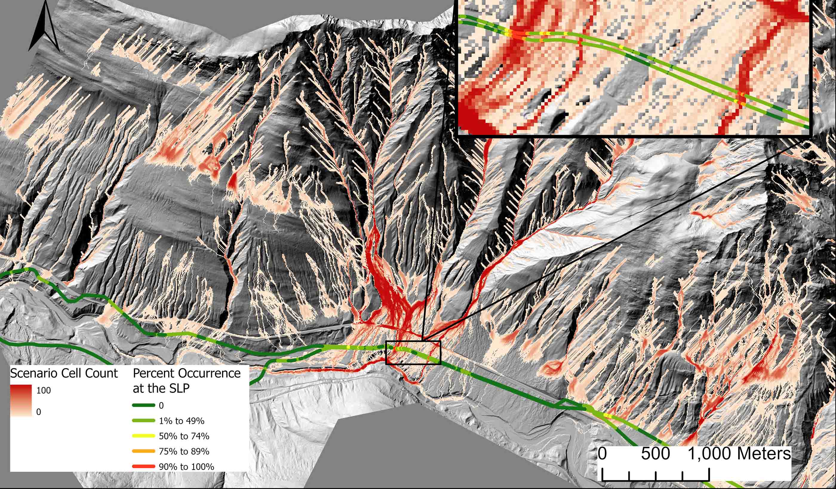
Using the results, our team created a probability map of debris flow runout under the current topography and buildout. Once calibrated, Stantec modeled similar sized events from adjacent watersheds to allow communities to assess the relative hazard to which they were exposed.
- Location
- Utah
- Offices
-
- Location
- Utah
- Offices
Share
We’re better together
-
Become a client
Partner with us today to change how tomorrow looks. You’re exactly what’s needed to help us make it happen in your community.
-
Design your career
Work with passionate people who are experts in their field. Our teams love what they do and are driven by how their work makes an impact on the communities they serve.

