- Location
- Terrebonne, Quebec
- Offices
-
-
Client
-
-
Terrebonne City
-
- Location
- Terrebonne, Quebec
- Offices
- Client
-
- Terrebonne City
Share
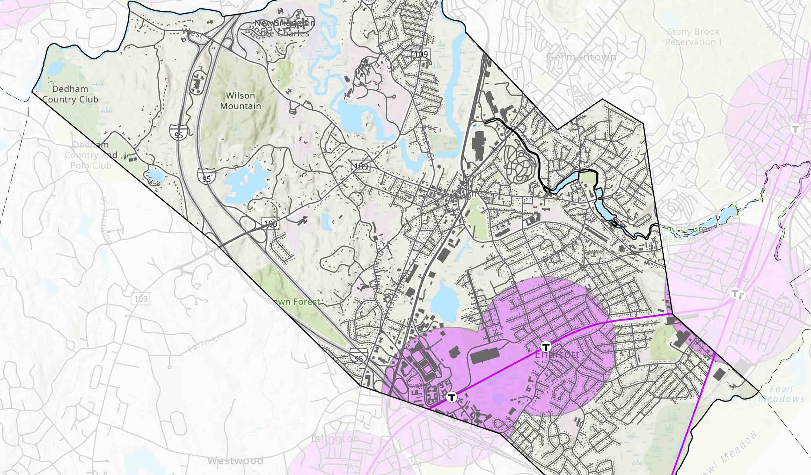
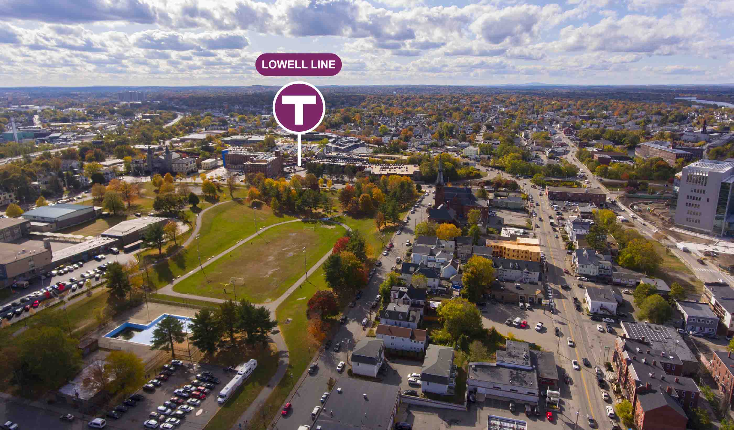
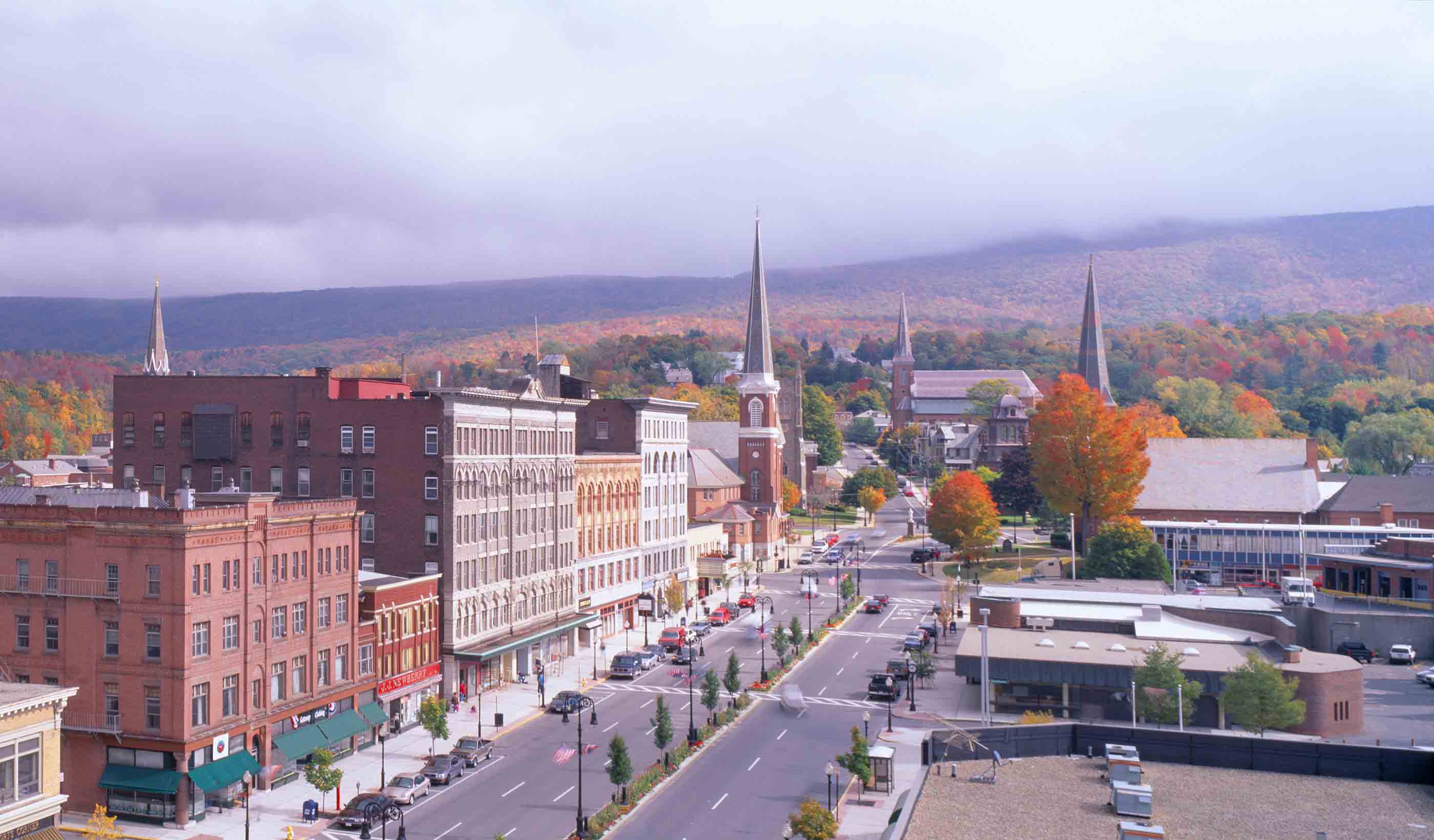
Geospatial services for the City of Terrebonne
Following its 2021–2025 strategic plan, the City of Terrebonne sought to strengthen the adoption of innovative information technology solutions and improve citizen access to municipal services. Through a framework agreement, our geospatial team was mandated to provide specialized expertise to support the City’s internal team across a range of projects. Stantec helped enhance the City’s asset management practices and simplify access to information for all residents.
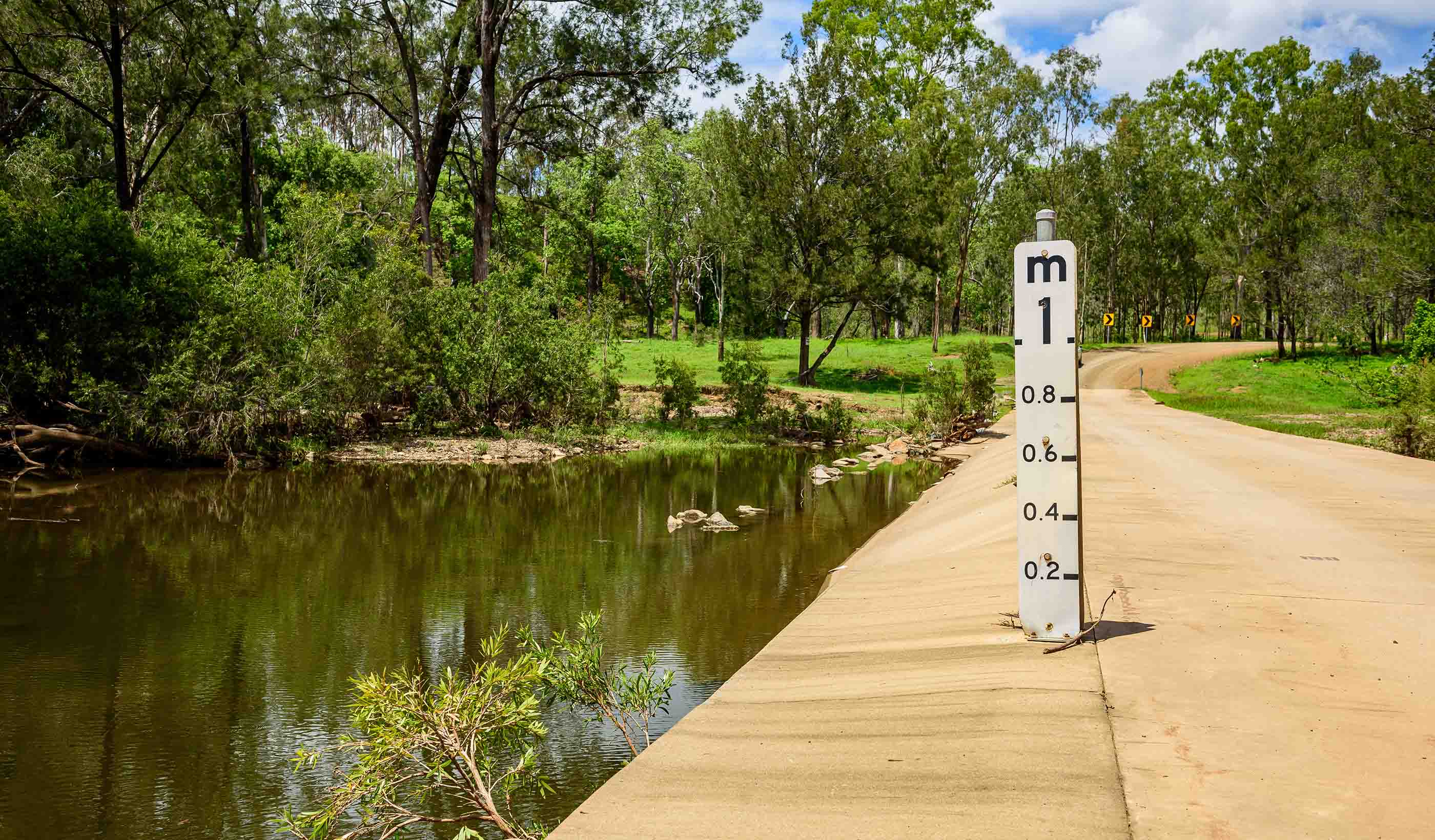
This collaboration led to the development of efficient web and mobile geospatial solutions that increased the City’s operational effectiveness—both in delivering public services and managing daily activities. Guided by these priorities, our team designed and deployed a dozen digital tools. These solutions support, among other things, the inventory of parks and equipment, the management of easements and mowing contracts, and the tracking of vegetation maintenance. Our specialists also redesigned the municipality’s official mapping, signage catalog, and streetlight inventory across the entire territory. The solutions were built using the ArcGIS Enterprise platform, including ArcGIS Field Maps, Survey123, Experience Builder, ArcGIS Dashboard, and FME, Safe Software’s ETL solution.
With these tools and resources, the City of Terrebonne’s administration is now more efficient and more agile in communicating municipal updates to its residents.
- Location
- Terrebonne, Quebec
- Offices
-
-
Client
-
-
Terrebonne City
-
- Location
- Terrebonne, Quebec
- Offices
- Client
-
- Terrebonne City
Share
Martin Chevrier, Business Center Operation Leader, Geospatial and Data Services
Every day, I put technology at the service of man, whether in its simplest or most extraordinary forms.
Cristian Graf, GIS, Data Management Specialist
As illuminated beings, we need to make bright decisions.
Elizabeth Duong, Geomatics, GIS, and Cartography Specialist
Working collaboratively is one of the key factors that leads to a project's success.


We’re better together
-
Become a client
Partner with us today to change how tomorrow looks. You’re exactly what’s needed to help us make it happen in your community.
-
Design your career
Work with passionate people who are experts in their field. Our teams love what they do and are driven by how their work makes an impact on the communities they serve.