At a Glance
-
$965M
Resilience Plan
-
10&30
Year Plans
- Location
- Tauranga, New Zealand
- Offices
-
-
Client
-
-
Tauranga City Council
-
-
Award
-
Survey and Spatial New Zealand, Spatial Excellence Awards: Spatial Enablement Award 2021
- Location
- Tauranga, New Zealand
- Offices
- Client
-
- Tauranga City Council
- Award
- Survey and Spatial New Zealand, Spatial Excellence Awards: Spatial Enablement Award 2021
Share
Tauranga Infrastructure Asset Resilience
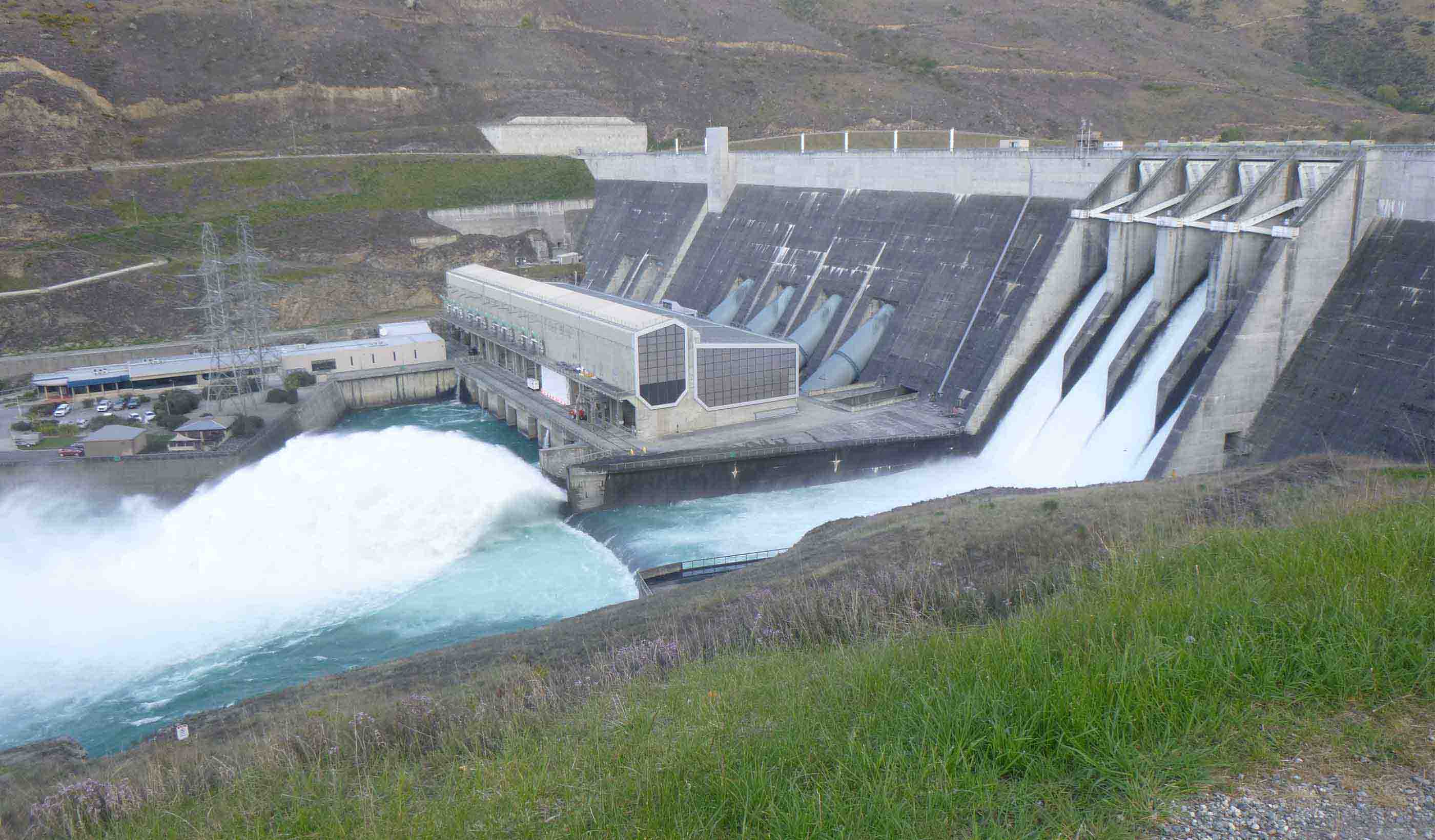
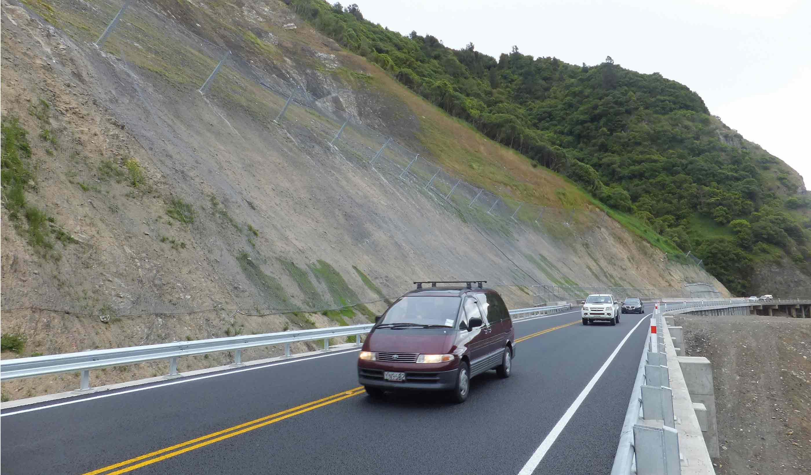
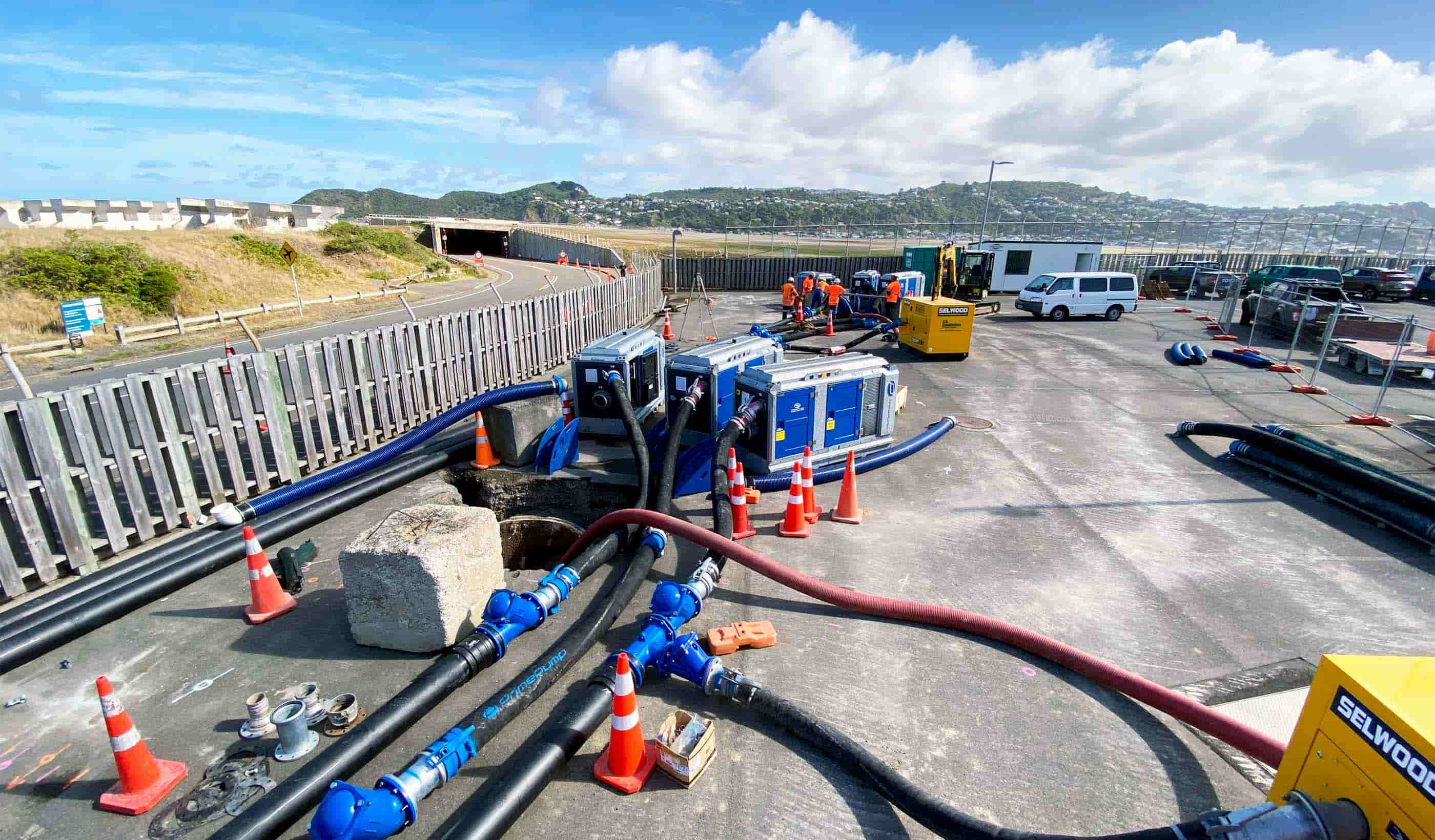
When natural hazards pose risks to infrastructure and communities, identifying where to invest often considers the type of asset and hazard in isolation. The Tauranga City Council decided to embark on a project to understand and mitigate a combination of natural threats to their water and transport infrastructure to enhance their resilience. They reached out to us to help.
We developed—and automated—a tool to prioritise all water and transport assets. This involved a robust data science exercise focusing on multi-hazard risk exposure to understand the criticality, consequence, and likelihood of potential asset failure during disasters.
We then transformed this data into a web-based application (app), allowing multiple consultants to work in parallel across the city to identify long-term mitigation project opportunities. The app’s collaboration space allowed everyone to work on a single source of data and have access to live updates. Plus, online operations could continue seamlessly during the height of COVID-19 restrictions.
The Council has used this too to develop a 10-year plan of approved mitigation projects and a 30-year, $965 million plan to make Tauranga’s assets more resilient to natural hazards.
At a Glance
-
$965M
Resilience Plan
-
10&30
Year Plans
- Location
- Tauranga, New Zealand
- Offices
-
-
Client
-
-
Tauranga City Council
-
-
Award
-
Survey and Spatial New Zealand, Spatial Excellence Awards: Spatial Enablement Award 2021
- Location
- Tauranga, New Zealand
- Offices
- Client
-
- Tauranga City Council
- Award
- Survey and Spatial New Zealand, Spatial Excellence Awards: Spatial Enablement Award 2021
Share
Louisa Bloomer, Digital Practice Leader, Asia Pacific
Enabling digital technology across all our services creates efficiencies that have the power to change how we deliver solutions.
We’re better together
-
Become a client
Partner with us today to change how tomorrow looks. You’re exactly what’s needed to help us make it happen in your community.
-
Design your career
Work with passionate people who are experts in their field. Our teams love what they do and are driven by how their work makes an impact on the communities they serve.
