Geospatial
See the bigger picture
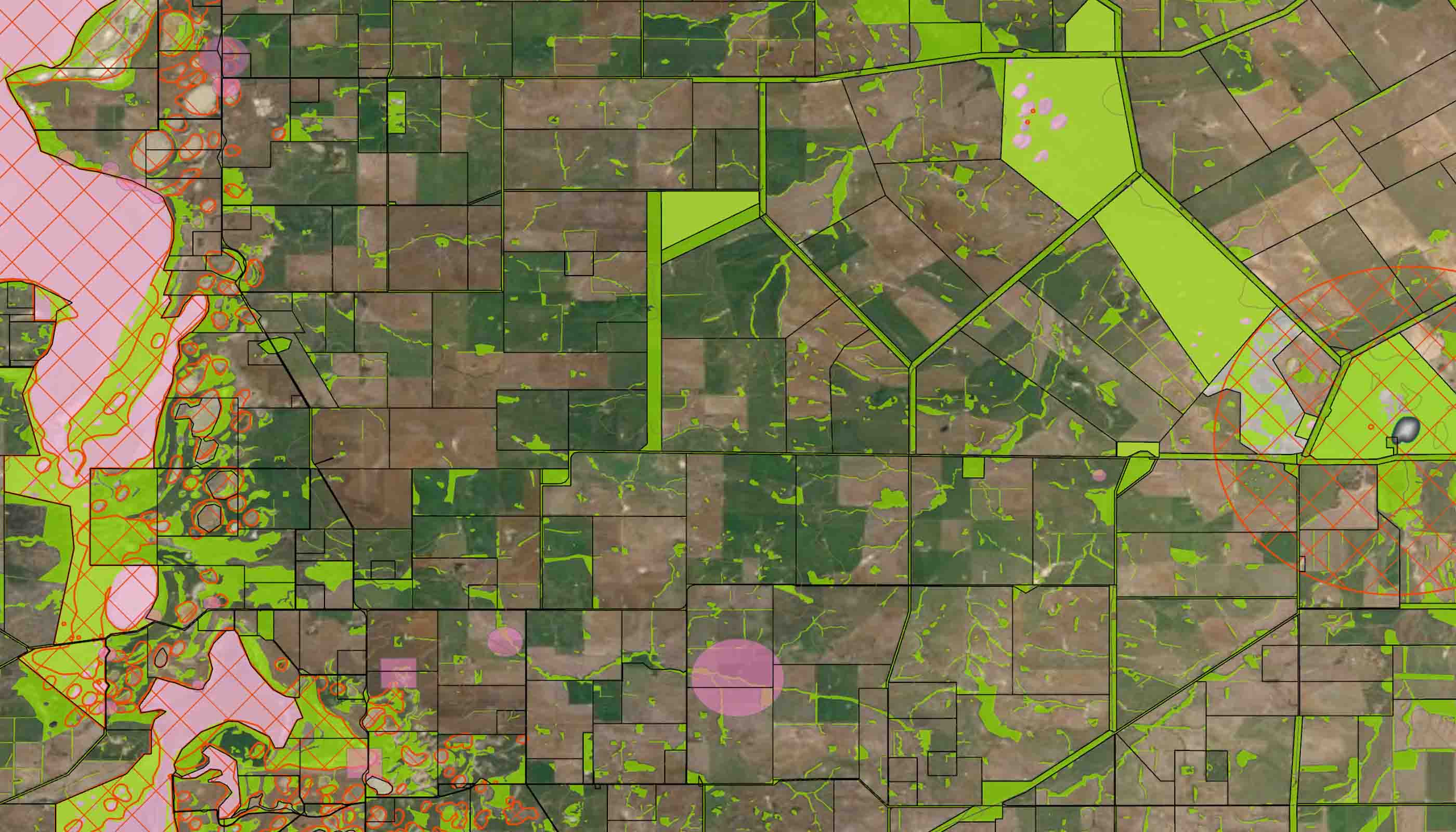
We’re seeing an increased demand for the use of geospatial technologies from our clients, who are using geographic information system mapping to simplify workflows and enhance information delivery for internal and public use.
Our specialists collect, store, retrieve, distribute, display, and analyse geospatial data from multiple sources. By integrating data with a visual map that can be accessed through a user-friendly interface, we help you extrapolate and manipulate information in new and creative ways.
The result? Increased productivity and operational efficiencies—making geospatial data interpretation a powerful tool to help you set key priorities.
Remote sensing technology, your options are endless
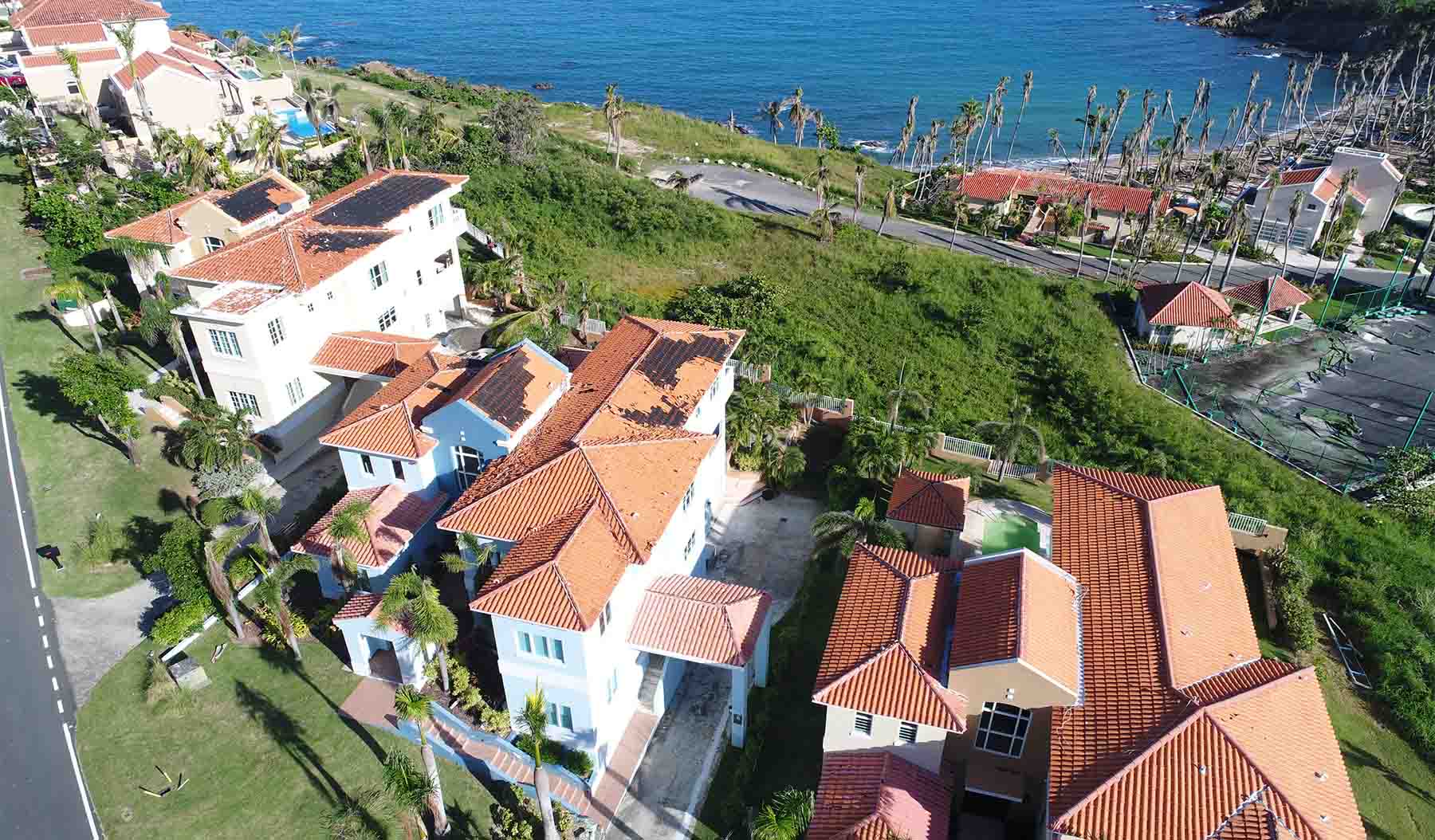
Remote sensing generates accurate and reliable data about almost anything related to the surface of the earth. This data helps you make informed decisions about how best to manage the natural and built environments. Reducing project costs and decreasing health and safety risks, our Remote Sensing team offers accurate, efficient services for any project. Read MoreLouisa Bloomer, Digital Practice Leader, Asia Pacific
Enabling digital technology across all our services creates efficiencies that have the power to change how we deliver solutions.
We’re better together
-
Become a client
Partner with us today to change how tomorrow looks. You’re exactly what’s needed to help us make it happen in your community.
-
Design your career
Work with passionate people who are experts in their field. Our teams love what they do and are driven by how their work makes an impact on the communities they serve.
