Mining, Minerals & Metals
What does decarbonizing mining look like?
Learn More
Beth Tomlinson, Senior Principal, Carbon and Climate Discipline Leader, Buildings
There’s no greater good than supporting healthy, safe, vibrant communities. I strive to serve by applying climate science in engineering.
Brianna Daniels, Vice President
People are the lifeline of our community and our company. Motivating others to grow and succeed is my passion.
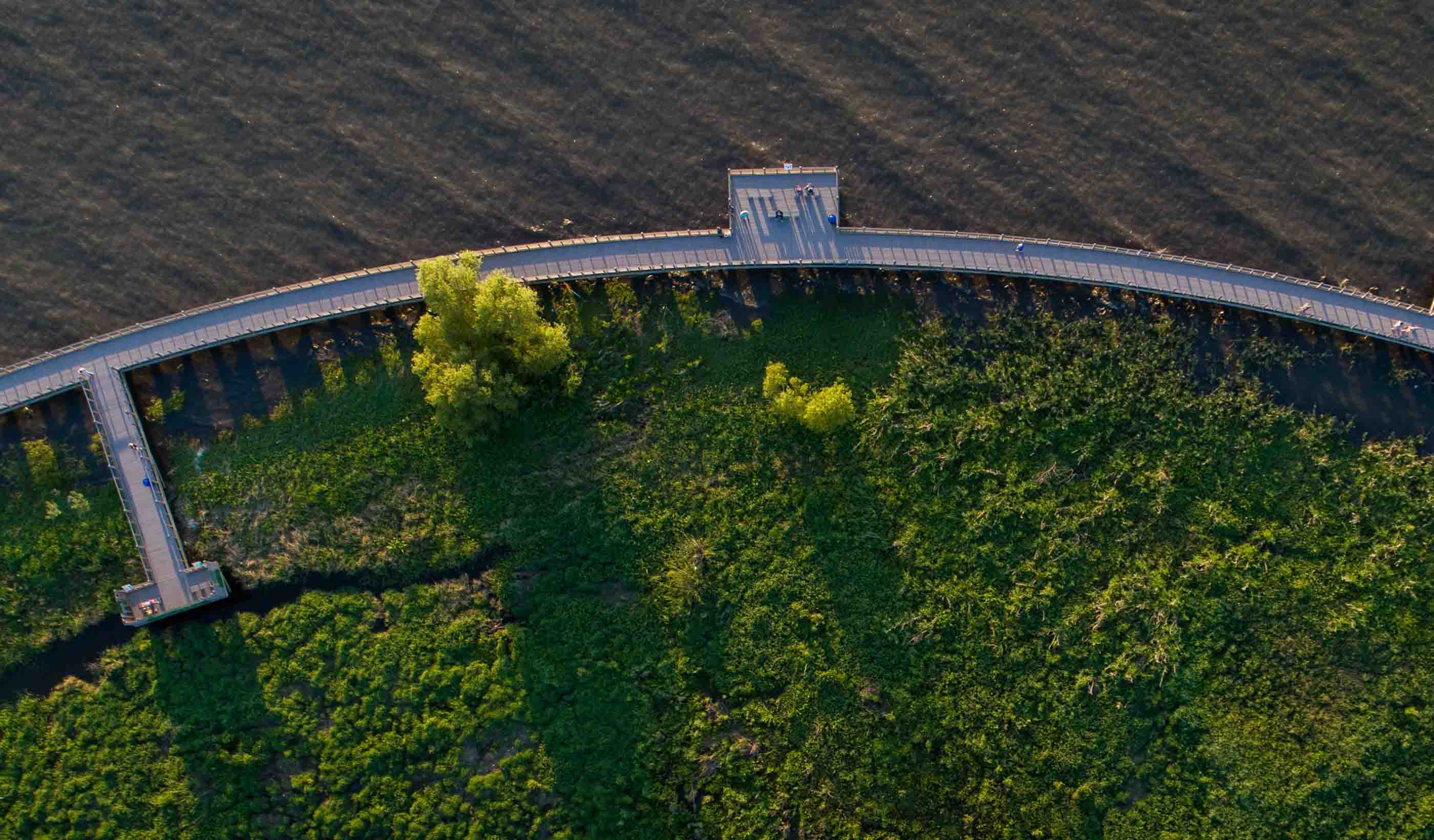
Mike Perry, Vice President, Regional Business Leader, Transportation (US Southeast & North Central)
As a father of three, safety is always my priority. One day, my boys will be driving the roads and bridges that I design.
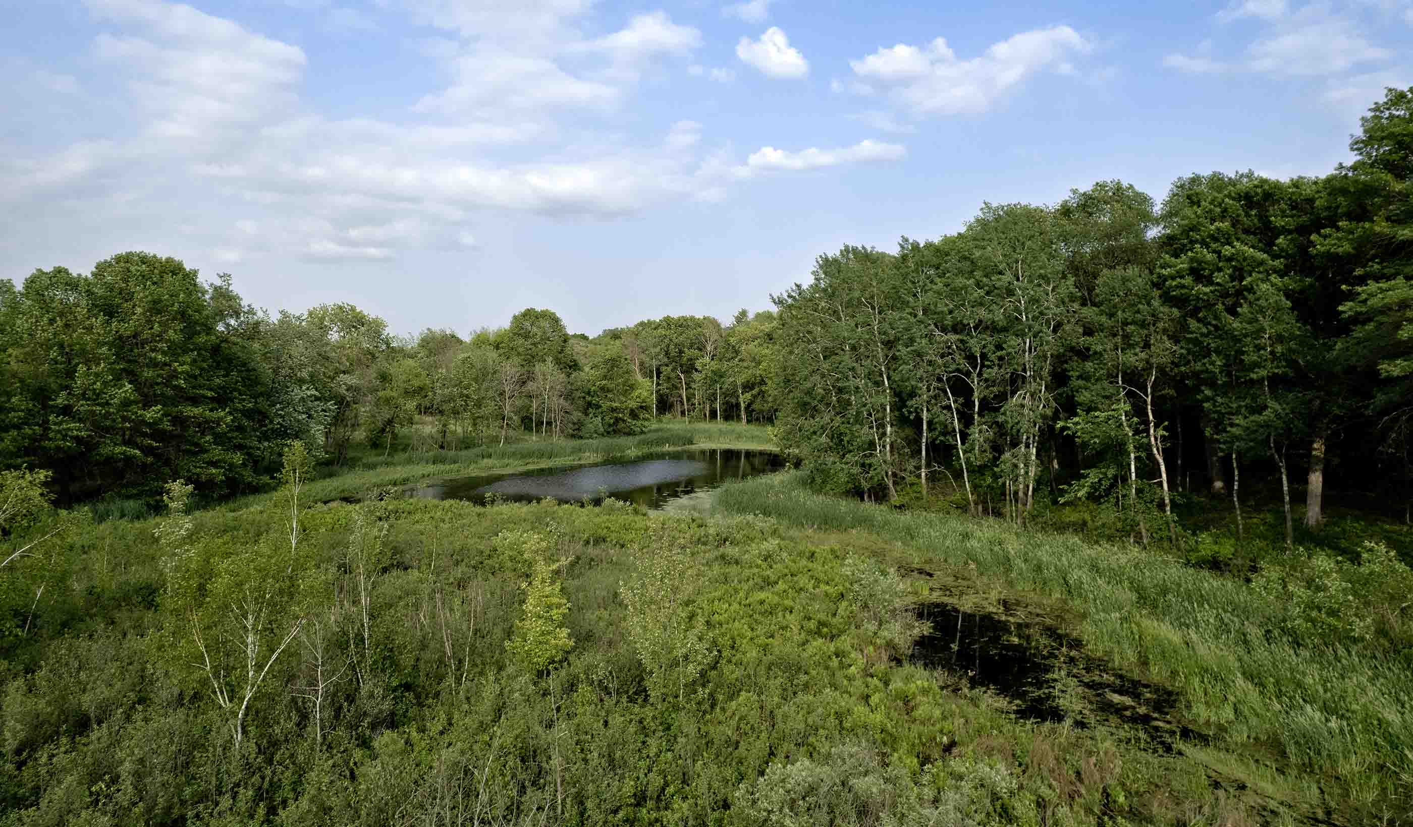
Nicolle Boulay, Vice President, Water Treatment Sector Leader
I love working in an industry that delivers a critical public service—the projects we design and build have a lasting impact on society.
Arielle Kadoch, Principal, Sector Leader, Power Delivery Canada & International
Our team is interested in new technologies and market trends in order to provide our clients with comprehensive engineering services in terms of sustainable energy projects.
David Martin, Vice President, Design Director, Buildings
My passion is engaging with our clients, synthesizing their needs and opportunities into a convergence of form, function, and beauty.
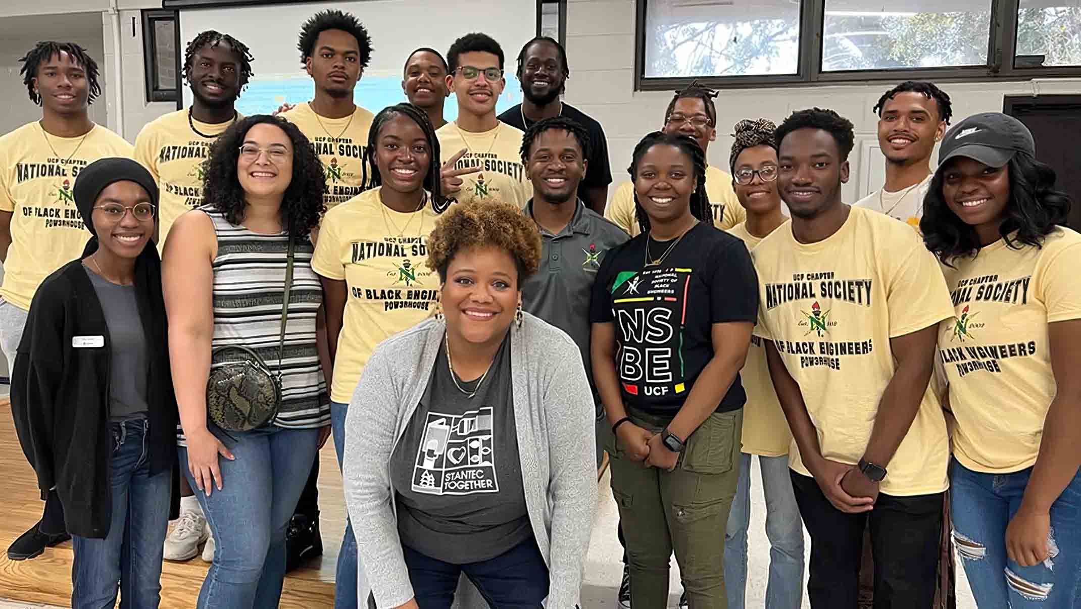
Amanda Adams, Principal, Operations Leader, Mining, Minerals & Metals
My passions are leading diverse teams to solve complex problems for mine waste storage and sharing my love of my job with future engineers!
Partner with us today to change how tomorrow looks. You’re exactly what’s needed to help us make it happen in your community.
Contact UsWork with passionate people who are experts in their field. Our teams love what they do and are driven by how their work makes an impact on the communities they serve.
Join the Team