SUSTAINABILITY
2025 Sustainability Report: Highlighting Stantec’s contributions to our communities
READ MORE
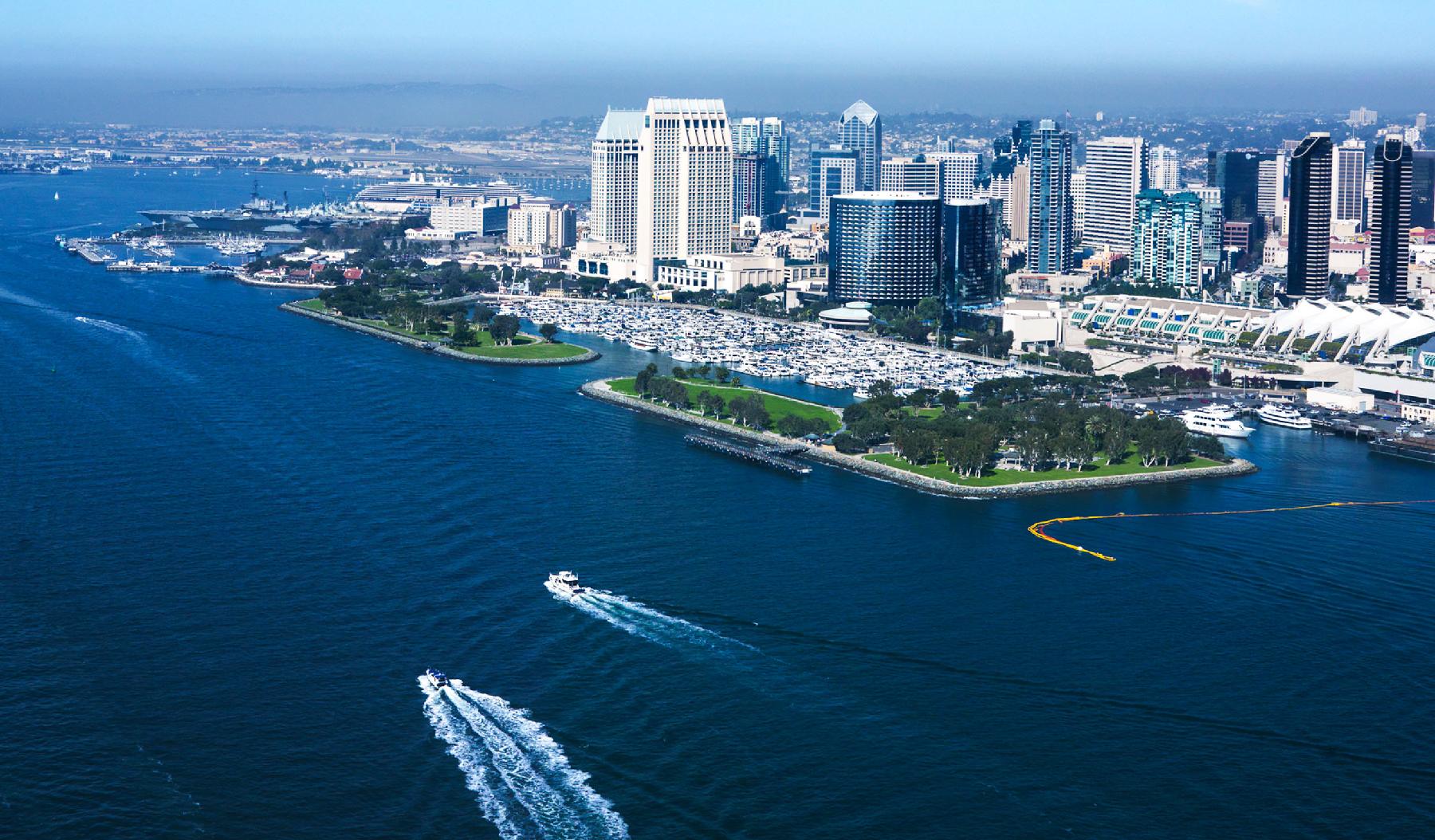
Michelle Fraser, Principal, Technical Discipline Leader, Water Resources (Canada)
Work together—no one is successful on their own, there’s always a network of people and experiences behind them.
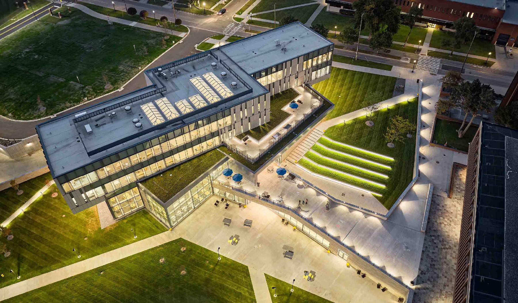
Brendan Mullins, Principal, Discipline Leader, Design Computing
The key to my success has been to remain passionate that my ideas will better the company.
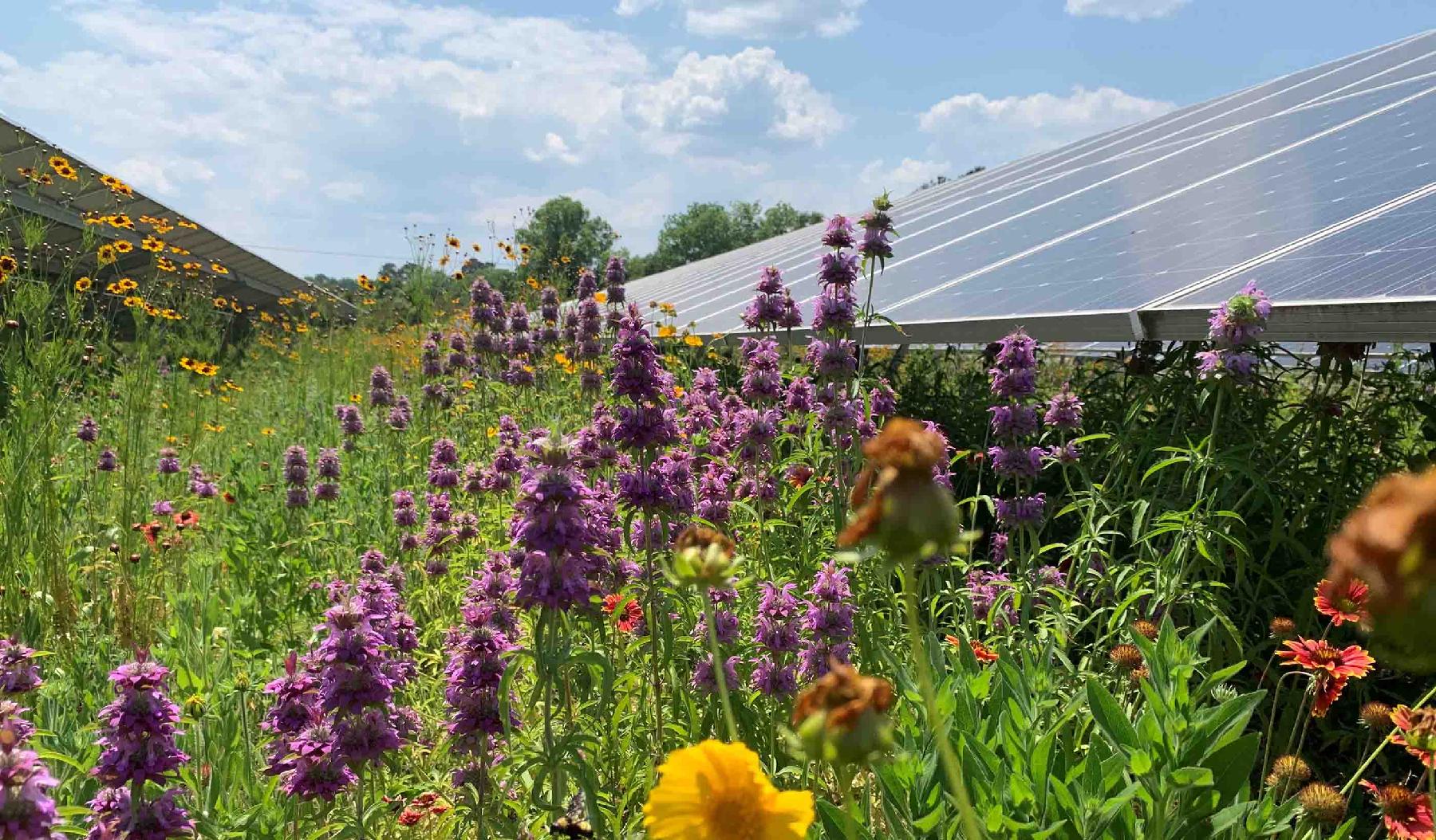
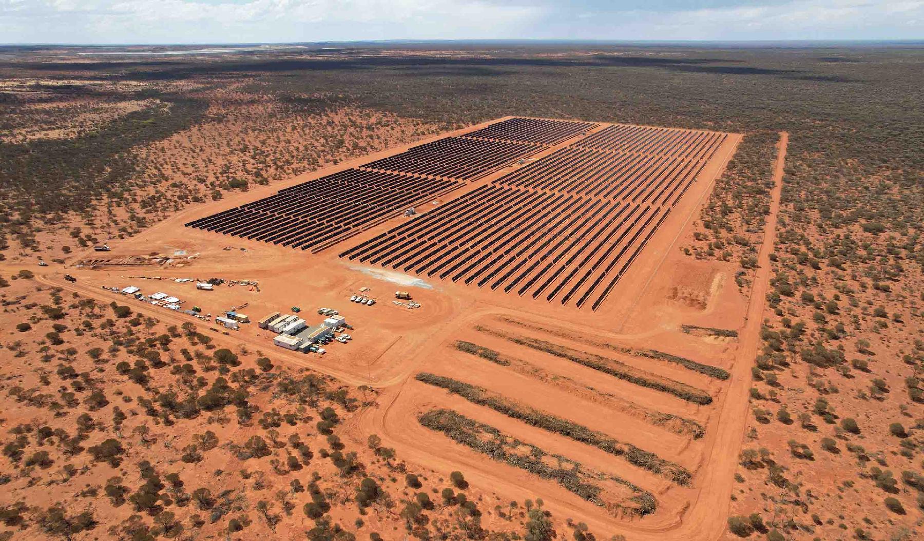
Carmen Bernedo Sanchez, Senior Principal, Energy
Embracing the challenges of finding solutions for clients amidst diverse environments and complex technical requirements is something I really enjoy.
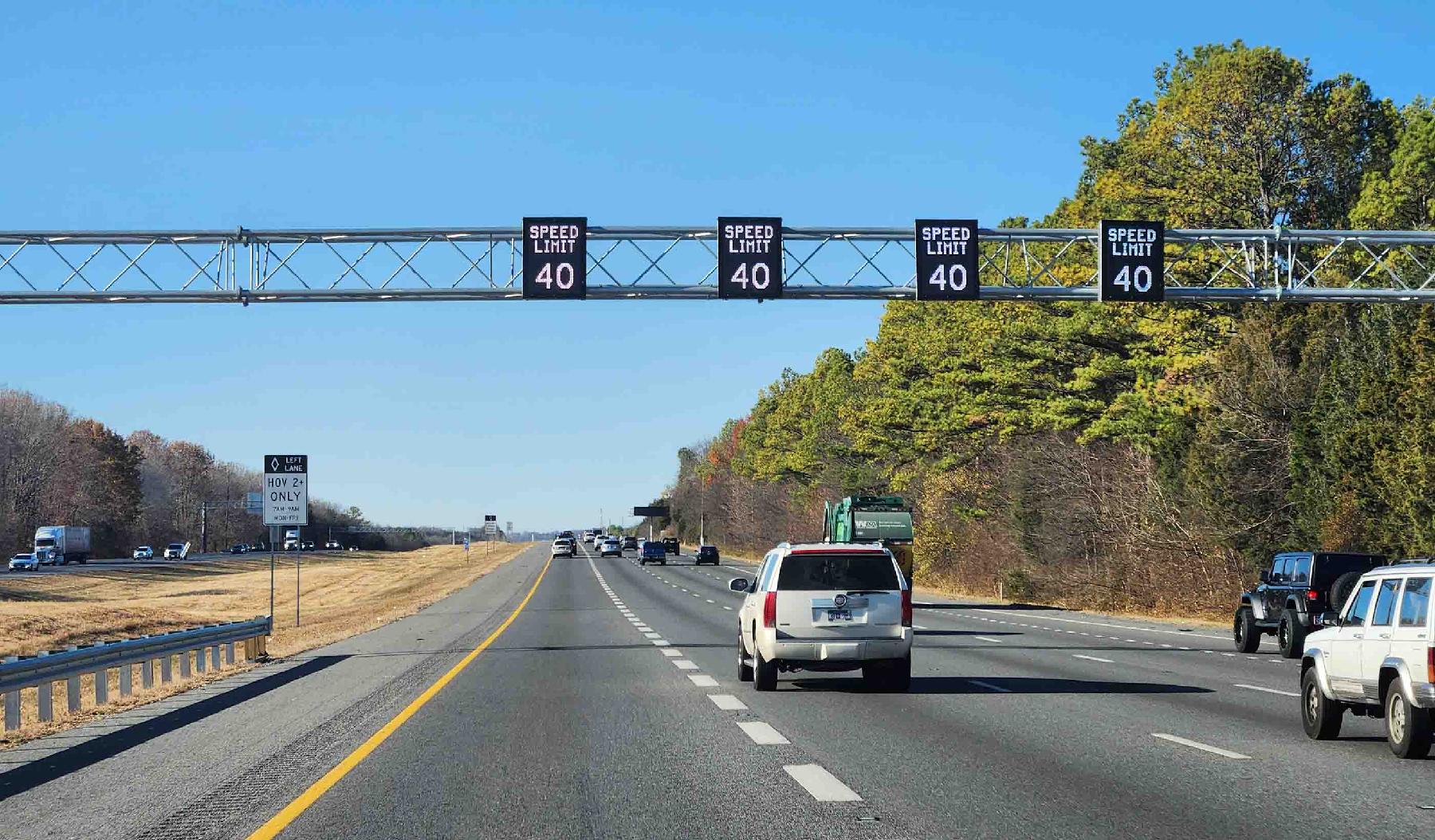
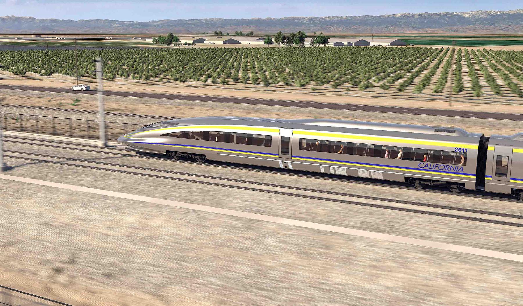
Jennifer Ducey, Vice President, Regional Business Leader, Transportation (US Northeast)
No two projects are exactly the same, and I’m always learning something new.
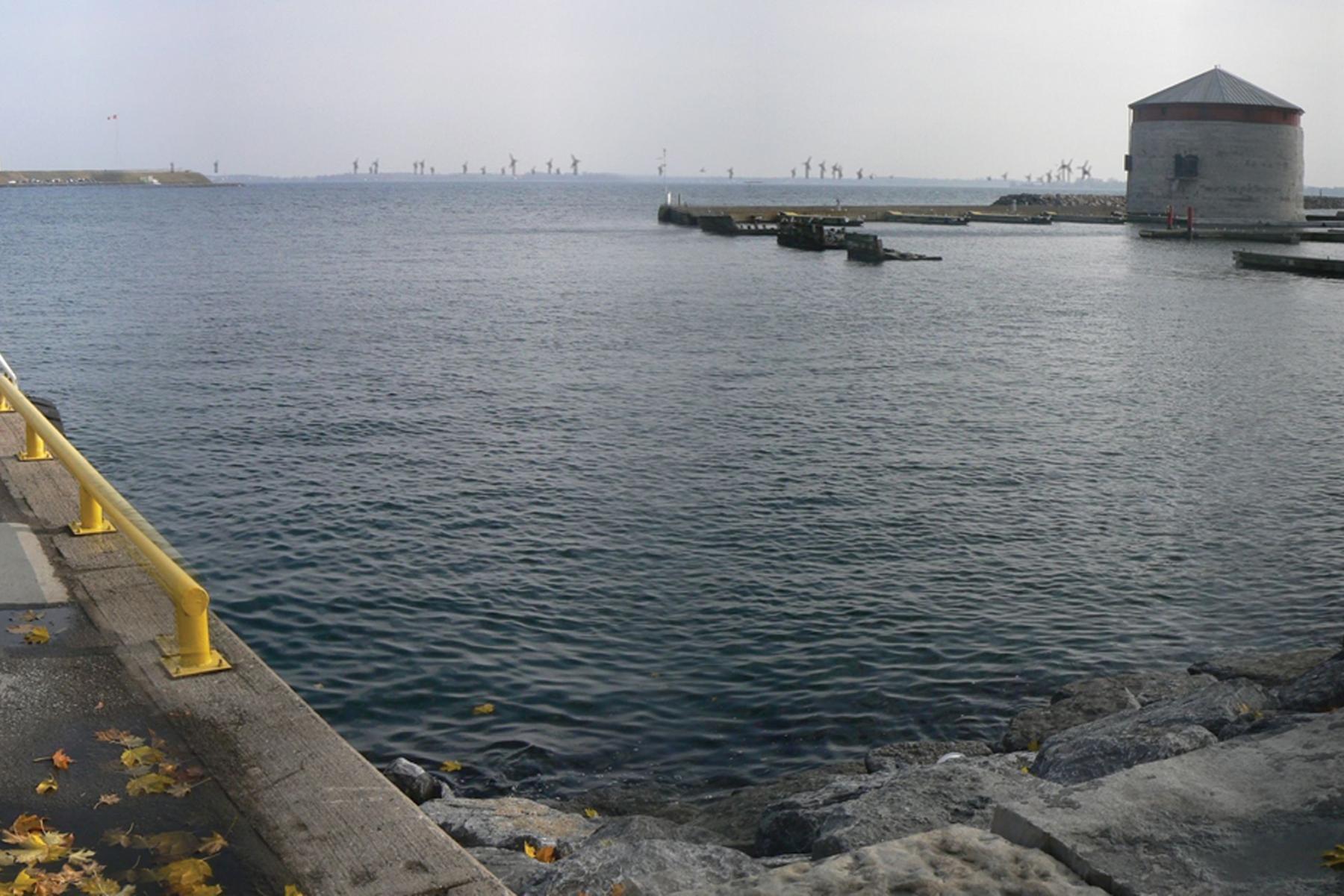
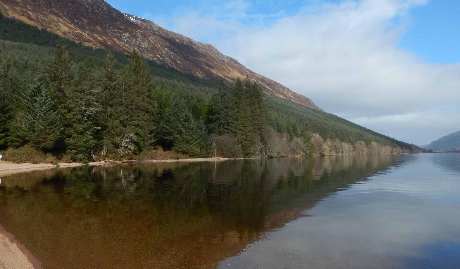
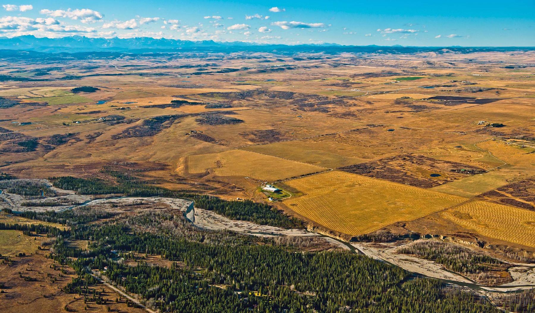
Scott Peyton, Vice President, Water Resources Sector Leader
It’s important to improve accessibility and connections with our streams, rivers and greenways through restoration and enhancement.
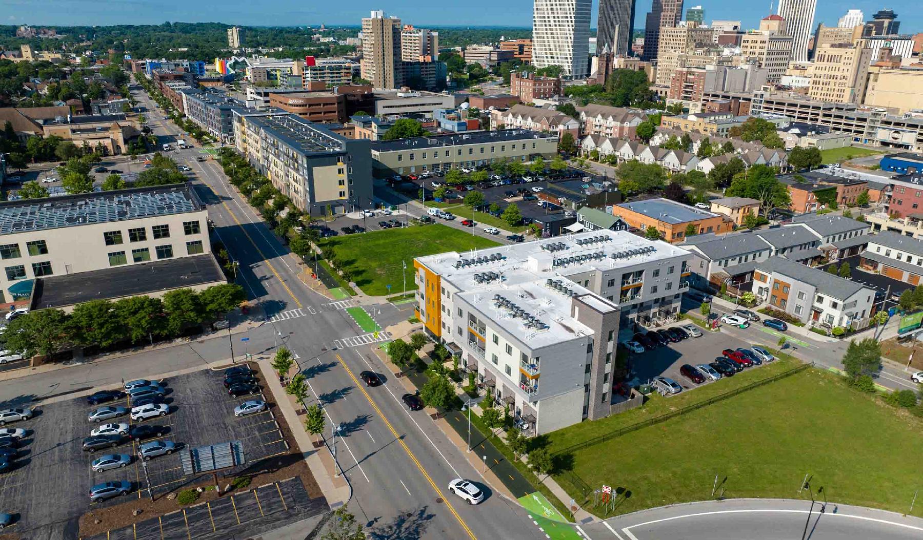
Beth Tomlinson, Senior Principal, Sustainability Discipline Leader
There’s no greater good than supporting healthy, safe, vibrant communities. I strive to serve by applying climate science in engineering.
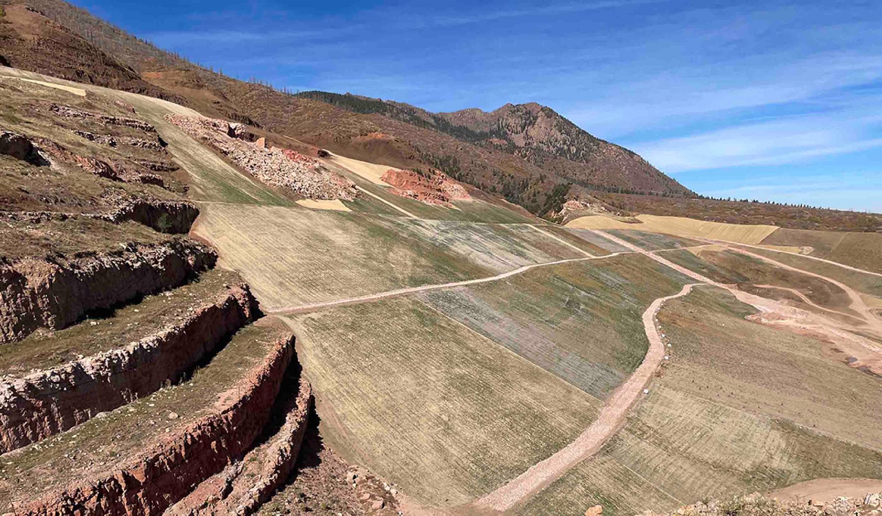
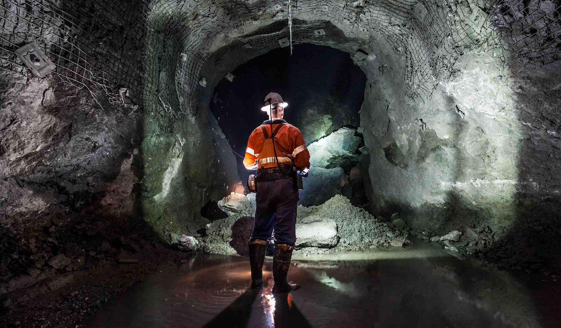
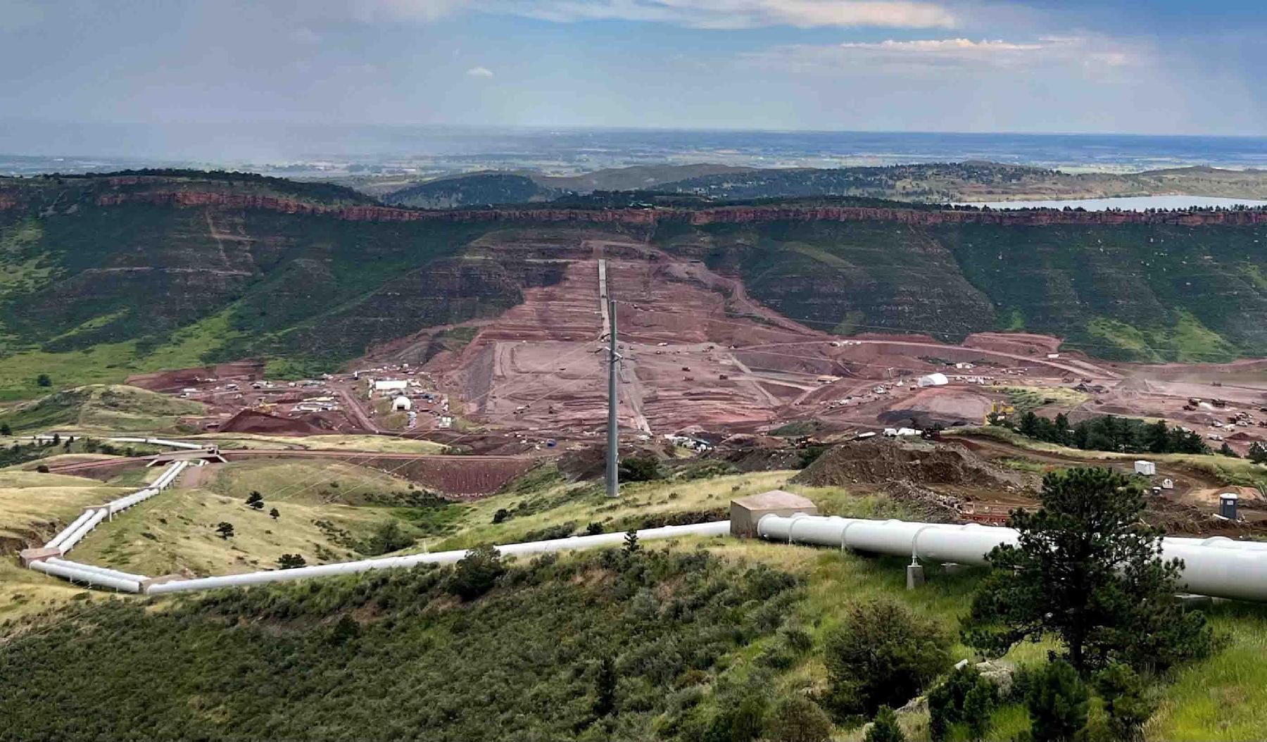
Amanda Adams, Principal, Operations Leader, Mining, Minerals & Metals
My passions are leading diverse teams to solve complex problems for mine waste storage and sharing my love of my job with future engineers!
Partner with us today to change how tomorrow looks. You’re exactly what’s needed to help us make it happen in your community.
Work with passionate people who are experts in their field. Our teams love what they do and are driven by how their work makes an impact on the communities they serve.