- Location
- Sacramento, California
- Offices
-
- Location
- Sacramento, California
- Offices
Share
Sunset Campground Rehabilitation
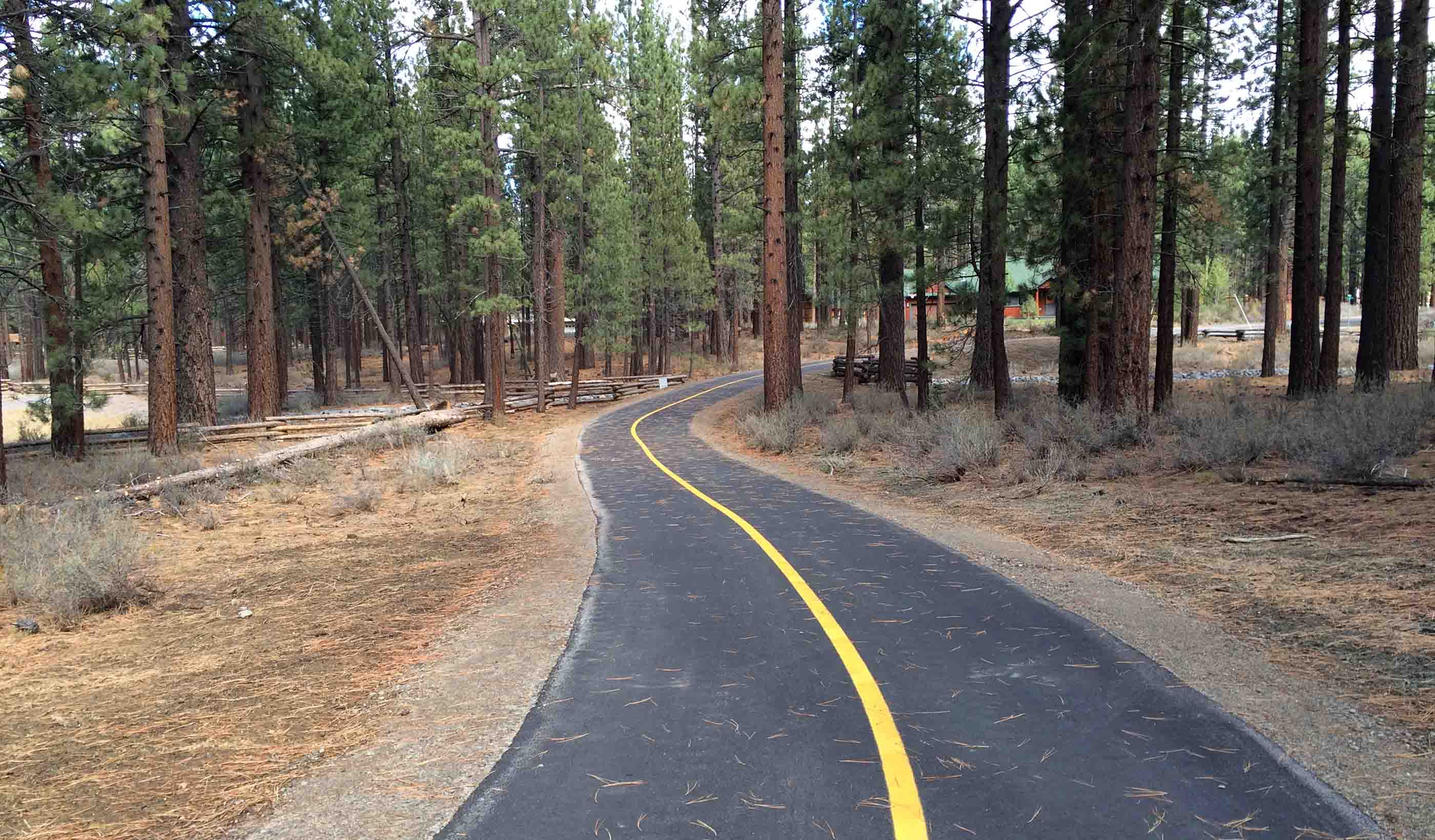
Camping is one of the most popular forms of recreation in the US, and it’s gotten more popular during the pandemic period when air travel was restricted. When the Sacramento Municipal Utility District saw a need to redesign its Sunset Campground, we were able to help with topographical data produced digitally in AutoCAD.
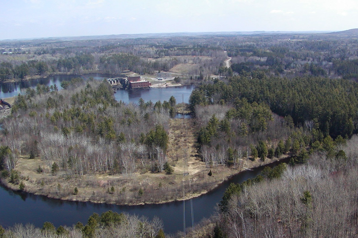
We then supplemented the topographical data with video and still images captured using an unmanned aerial system (UAS). Given the terrain and foliage of the site, this information couldn’t have been gathered with traditional methods.
Utilizing UAS, we produced high spatial resolution aerial images and videos so the clients could view the completed project from every possible angle. Armed with an accurate, digital representation of their site, our client can now look for ways to accommodate more patrons, and at the same time provide them a restorative, engaging interaction with nature.
- Location
- Sacramento, California
- Offices
-
- Location
- Sacramento, California
- Offices
Share
Jesse Carlson, Senior Project Engineer
My goal is to create accessible recreational facilities that I would want to visit and enjoy with my family.
Stephen Peck, Principal, Business Center Practice Lead
I’m passionate about working on projects that provide a direct benefit to the communities they are in—our work improves lives.
We’re better together
-
Become a client
Partner with us today to change how tomorrow looks. You’re exactly what’s needed to help us make it happen in your community.
-
Design your career
Work with passionate people who are experts in their field. Our teams love what they do and are driven by how their work makes an impact on the communities they serve.
