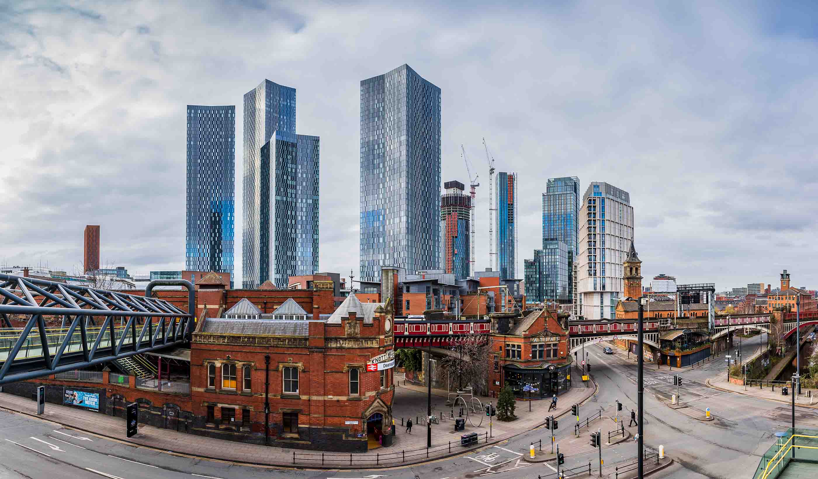
COMMUNITY DEVELOPMENT
New towns: Creating communities, building trust, realising the opportunity
Learn More
Cath Schefer, Executive Vice President, Chief Operating Officer – Global
I’m passionate about bringing the combined knowledge and expertise of Stantec’s people across the world to deliver great projects for our clients and communities.
Brian Yates, Managing Director
Diversity in the work you do fosters creativity and innovation—it’s what makes the consulting industry exciting.
Scott Jackson, Regional Director, Water
I have an open and honest leadership style which helps my team deliver innovative project solutions for our clients and communities.
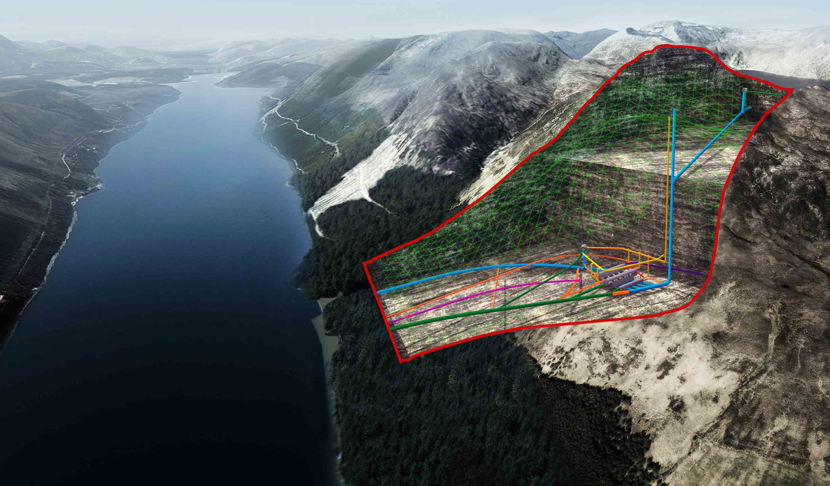
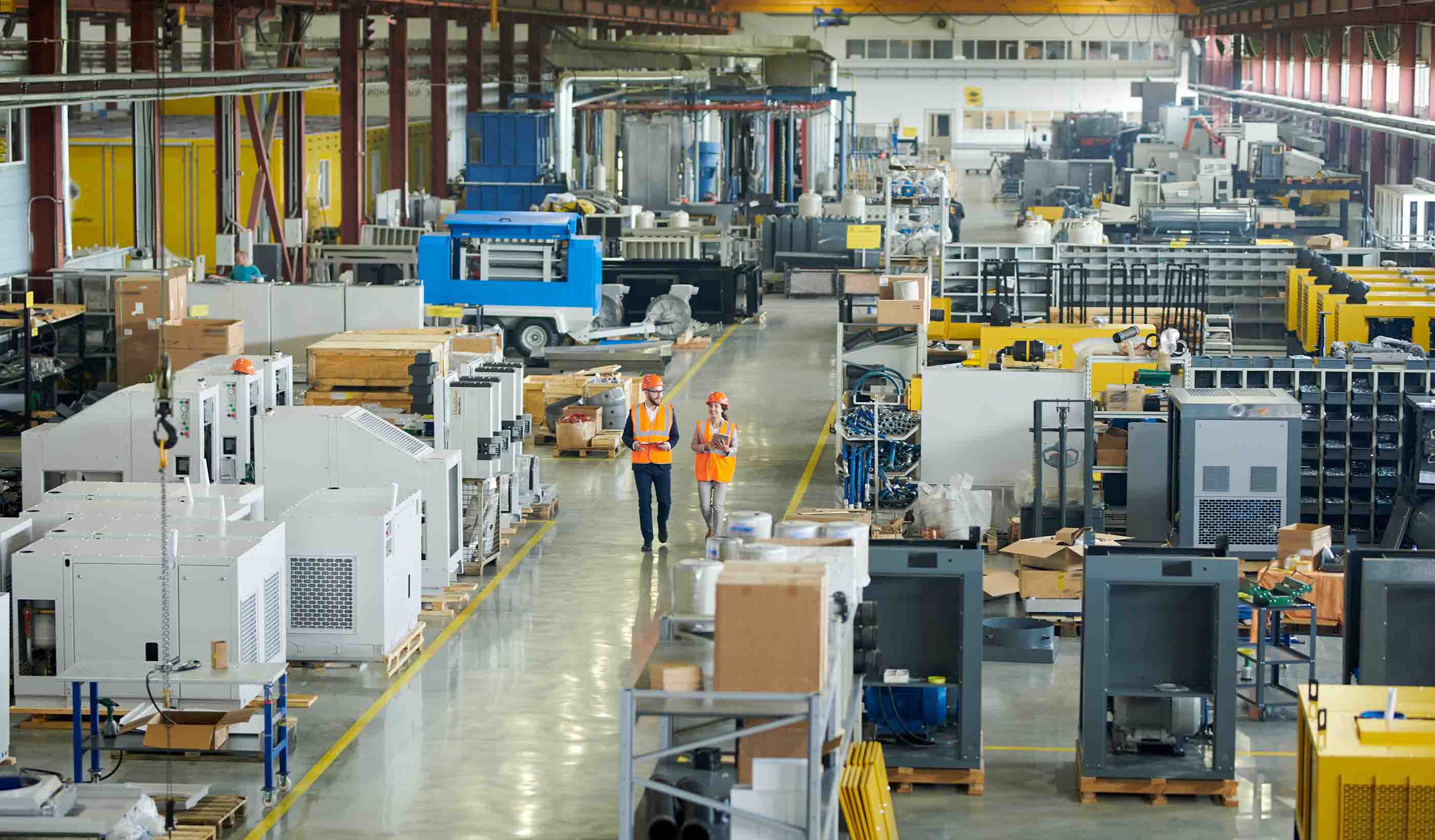
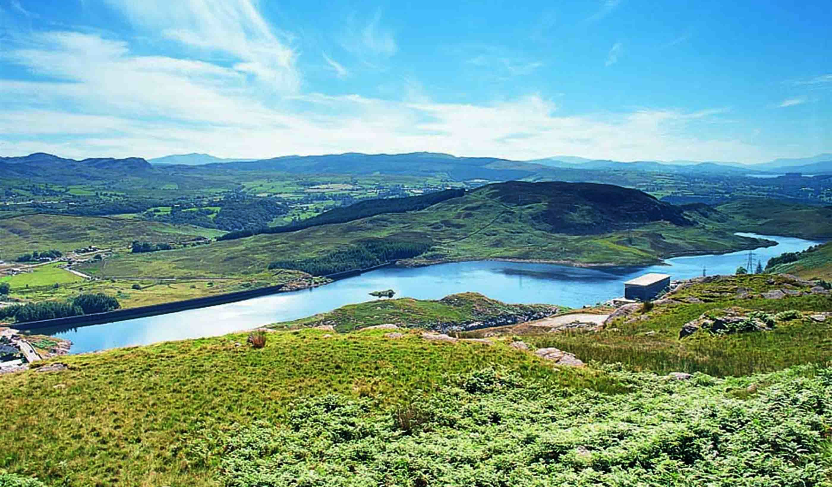
John Ord, Business Director, Energy & Resources
The UK energy business is changing rapidly. We assist our clients across the industry to shape and improve transitional and future energy projects.
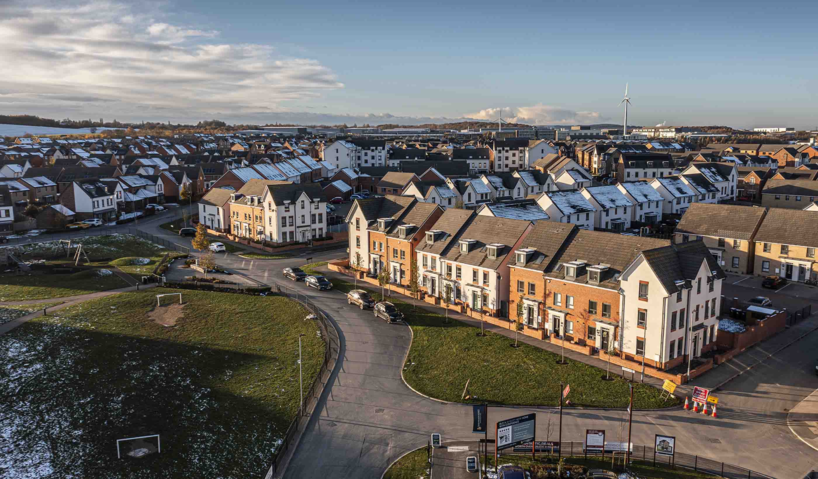
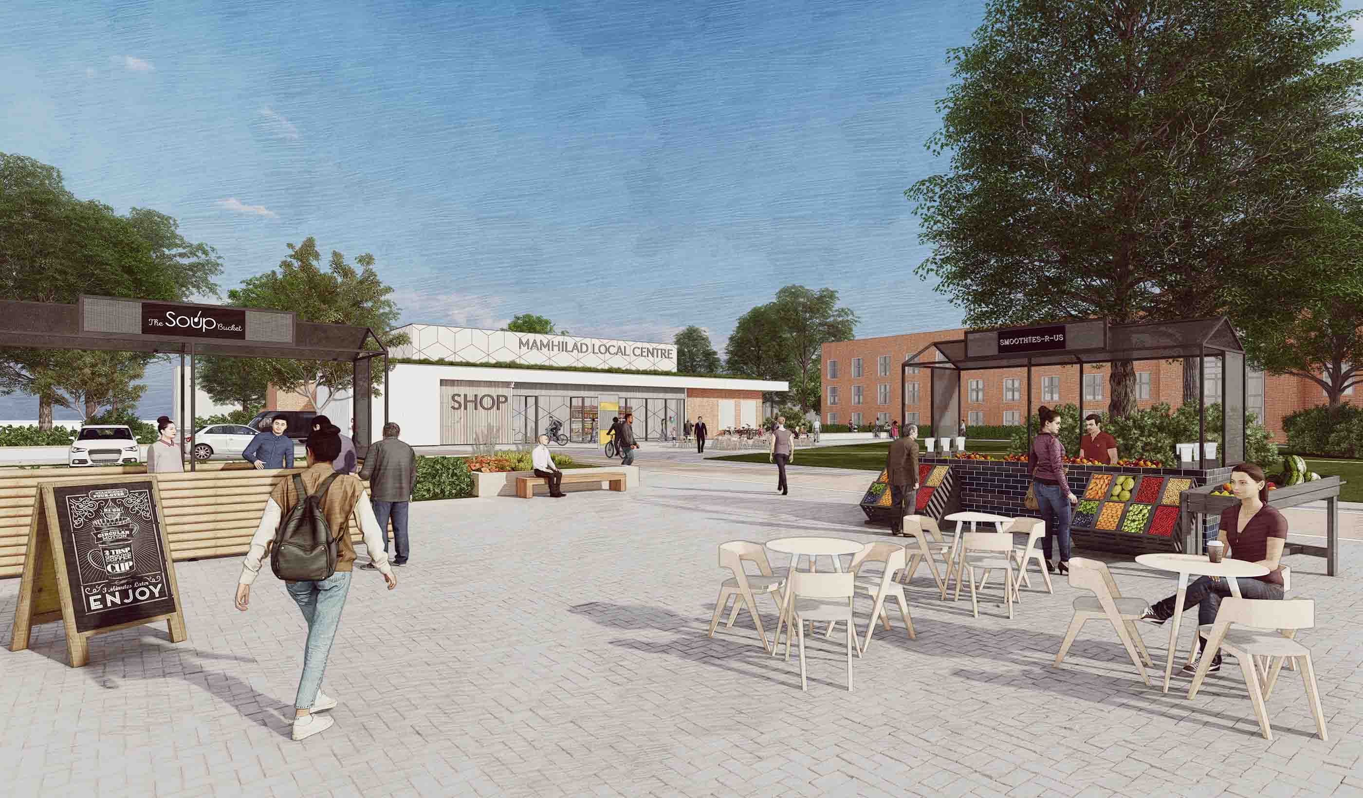
Nancy MacDonald, Regional Business Leader, Infrastructure
Urban professionals address the needs of our communities and help unlock the benefits of development. We’re city-builders.
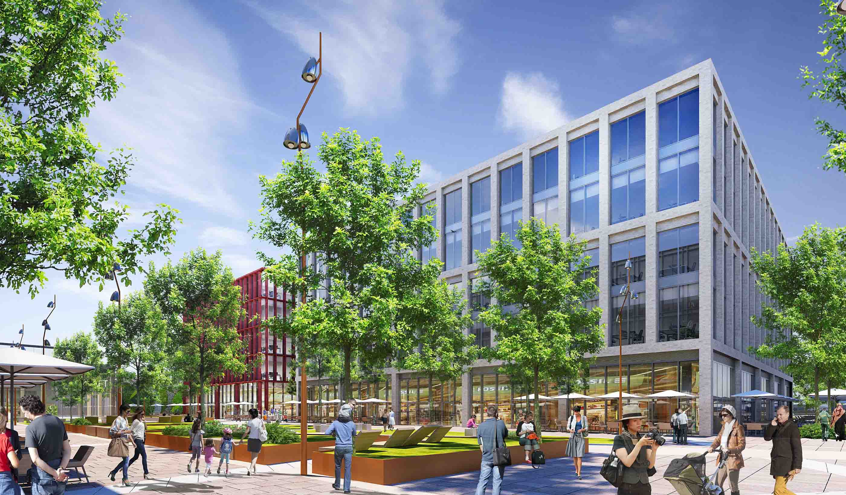
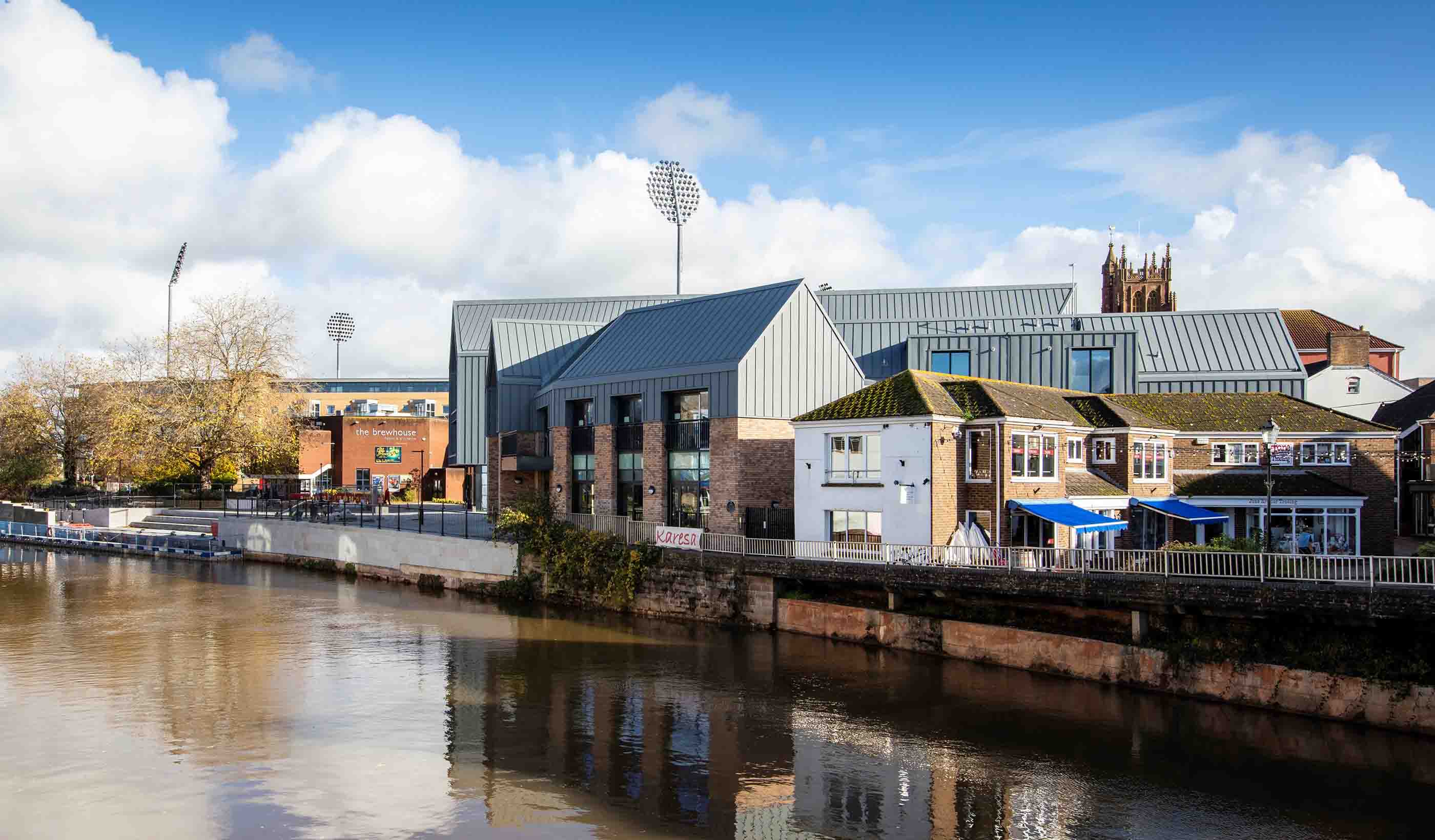
Martin Dix, Director, Buildings
We work with great clients on complex buildings—positively contributing to society while learning, evolving, and educating along the way.
Partner with us today to change how tomorrow looks. You’re exactly what’s needed to help us make it happen in your community.
Work with passionate people who are experts in their field. Our teams love what they do and are driven by how their work makes an impact on the communities they serve.